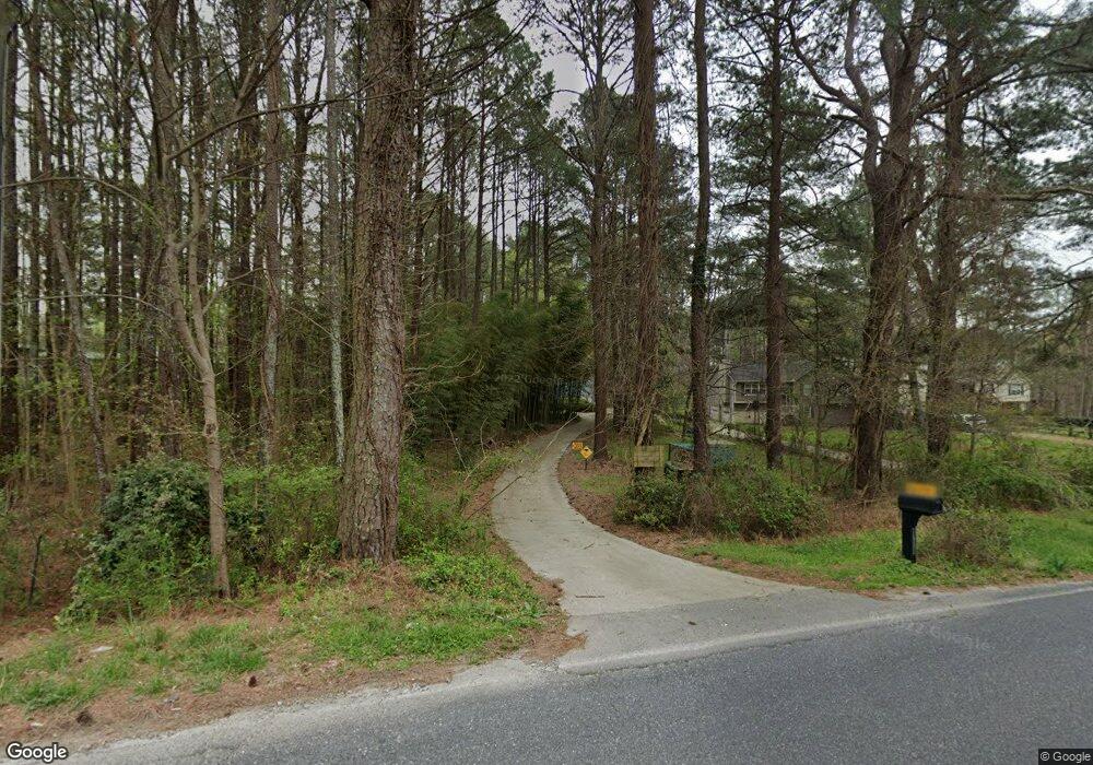
5690 Priest Rd Acworth, GA 30102
Oak Grove NeighborhoodEstimated Value: $291,789 - $359,000
3
Beds
2
Baths
1,376
Sq Ft
$235/Sq Ft
Est. Value
About This Home
This home is located at 5690 Priest Rd, Acworth, GA 30102 and is currently estimated at $322,697, approximately $234 per square foot. 5690 Priest Rd is a home located in Cherokee County with nearby schools including E. T. Booth Middle School, Etowah High School, and Cornerstone Preparatory Academy.
Ownership History
Date
Name
Owned For
Owner Type
Purchase Details
Closed on
Jan 26, 2001
Sold by
Rathbun Thyra F
Bought by
Rathbun Thyra F and Rathbun Charles S
Current Estimated Value
Purchase Details
Closed on
Oct 29, 1993
Sold by
Lawler Gail
Bought by
Rathbun Geraldine C
Home Financials for this Owner
Home Financials are based on the most recent Mortgage that was taken out on this home.
Original Mortgage
$73,000
Interest Rate
6.97%
Create a Home Valuation Report for This Property
The Home Valuation Report is an in-depth analysis detailing your home's value as well as a comparison with similar homes in the area
Home Values in the Area
Average Home Value in this Area
Purchase History
| Date | Buyer | Sale Price | Title Company |
|---|---|---|---|
| Rathbun Thyra F | -- | -- | |
| Rathbun Charles S | -- | -- | |
| Rathbun Geraldine C | $72,700 | -- |
Source: Public Records
Mortgage History
| Date | Status | Borrower | Loan Amount |
|---|---|---|---|
| Previous Owner | Rathbun Geraldine C | $73,000 |
Source: Public Records
Tax History Compared to Growth
Tax History
| Year | Tax Paid | Tax Assessment Tax Assessment Total Assessment is a certain percentage of the fair market value that is determined by local assessors to be the total taxable value of land and additions on the property. | Land | Improvement |
|---|---|---|---|---|
| 2025 | $2,335 | $101,264 | $12,880 | $88,384 |
| 2024 | $2,281 | $99,236 | $9,680 | $89,556 |
| 2023 | $1,762 | $95,248 | $9,680 | $85,568 |
| 2022 | $1,906 | $80,336 | $9,680 | $70,656 |
| 2021 | $1,378 | $50,748 | $8,280 | $42,468 |
| 2020 | $1,336 | $49,236 | $8,280 | $40,956 |
| 2019 | $1,242 | $45,920 | $8,280 | $37,640 |
| 2018 | $1,241 | $45,680 | $8,280 | $37,400 |
| 2017 | $1,207 | $110,400 | $7,920 | $36,240 |
| 2016 | $1,109 | $101,000 | $6,840 | $33,560 |
| 2015 | $1,128 | $101,700 | $6,840 | $33,840 |
| 2014 | $1,085 | $97,800 | $6,120 | $33,000 |
Source: Public Records
Map
Nearby Homes
- 5496 E Emerald Ct
- 1981 American Way Unit 28
- 1983 American Way Unit 27
- 219 Madison Ave
- 2899 Emerald Ln
- 558 Olympic Way
- 320 Liberty Dr
- 403 Franklin Ln
- 2959 Creekstone Dr
- 566 Olympic Way
- 337 Liberty Dr
- 2936 Cheryl Ct
- 344 Colsen Dr
- 340 Colsen Dr
- 336 Colsen Dr
- 332 Colsen Dr
- 328 Colsen Dr
- 3019 Westwood Dr
- 325 Colsen Dr
- 5680 Priest Rd
- 250 Johnson Dupree Ct
- 5670 Priest Rd
- 5656 Priest Rd
- 155 Johnson Dupree Ct
- 260 Johnson Dupree Ct
- 183 Johnson Dupree Ct
- 219 Johnson Dupree Ct
- 0 Johnson Dupree Ct Unit 7557533
- 0 Johnson Dupree Ct
- 5620 Priest Rd
- 255 Johnson Dupree Ct
- 5645 Priest Rd
- 5722 Priest Rd
- 270 Johnson Dupree Ct
- 433 Livingston Point
- 427 Livingston Point
- 429 Livingston Point
- 435 Livingston Point
- 425 Livingston Point