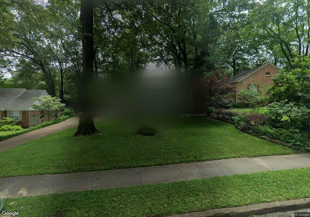
5693 Barfield Rd Memphis, TN 38120
Audubon Park NeighborhoodEstimated Value: $300,000 - $328,000
3
Beds
2
Baths
1,728
Sq Ft
$181/Sq Ft
Est. Value
About This Home
This home is located at 5693 Barfield Rd, Memphis, TN 38120 and is currently estimated at $312,762, approximately $180 per square foot. 5693 Barfield Rd is a home located in Shelby County with nearby schools including Richland Elementary School, White Station Middle, and White Station High.
Ownership History
Date
Name
Owned For
Owner Type
Purchase Details
Closed on
Oct 6, 1997
Sold by
Reiners Randall T
Bought by
Kriwacki Richard W and Ferry Doreen
Current Estimated Value
Home Financials for this Owner
Home Financials are based on the most recent Mortgage that was taken out on this home.
Original Mortgage
$125,550
Interest Rate
7.6%
Create a Home Valuation Report for This Property
The Home Valuation Report is an in-depth analysis detailing your home's value as well as a comparison with similar homes in the area
Home Values in the Area
Average Home Value in this Area
Purchase History
| Date | Buyer | Sale Price | Title Company |
|---|---|---|---|
| Kriwacki Richard W | $139,500 | -- |
Source: Public Records
Mortgage History
| Date | Status | Borrower | Loan Amount |
|---|---|---|---|
| Closed | Kriwacki Richard W | $125,550 |
Source: Public Records
Tax History Compared to Growth
Tax History
| Year | Tax Paid | Tax Assessment Tax Assessment Total Assessment is a certain percentage of the fair market value that is determined by local assessors to be the total taxable value of land and additions on the property. | Land | Improvement |
|---|---|---|---|---|
| 2025 | -- | $70,250 | $19,125 | $51,125 |
| 2024 | -- | $62,225 | $19,125 | $43,100 |
| 2023 | $3,791 | $62,225 | $19,125 | $43,100 |
| 2022 | $3,791 | $62,225 | $19,125 | $43,100 |
| 2021 | $3,835 | $62,225 | $19,125 | $43,100 |
| 2020 | $3,429 | $47,325 | $15,900 | $31,425 |
| 2019 | $3,429 | $47,325 | $15,900 | $31,425 |
| 2018 | $3,429 | $47,325 | $15,900 | $31,425 |
| 2017 | $1,945 | $47,325 | $15,900 | $31,425 |
| 2016 | $1,869 | $42,775 | $0 | $0 |
| 2014 | $1,869 | $42,775 | $0 | $0 |
Source: Public Records
Map
Nearby Homes
- 5681 Normandy Rd
- 5649 Normandy Rd
- 5690 Walnut Grove Rd
- 5676 Walnut Grove Place
- 5737 Buxbriar Ave
- 19 E Yates Rd S
- 5702 Buxbriar Ave
- 50 Grove Dale St
- 5575 Walnut Grove Rd
- 5704 Ashbriar Ave
- 5680 N Angela Rd
- 5504 Normandy Rd
- 5532 Gwynne Rd
- 5429 Normandy Rd
- 5429 Walnut Grove Rd
- 5909 Brierhedge Ave
- 5881 Brierglen Ave
- 5385 Walnut Grove Rd
- 5395 Gwynne Rd
- 5360 Normandy Ave
- 5685 Barfield Rd
- 5703 Barfield Rd
- 81 S Yates Rd
- 5698 Normandy Ave
- 5698 Normandy Rd
- 5677 Barfield Rd
- 81 E Yates Rd N
- 5690 Normandy Ave
- 5692 Barfield Rd
- 90 E Yates Rd N
- 5700 Barfield Rd
- 5684 Barfield Rd
- 5682 Normandy Ave
- 5682 Normandy Rd
- 80 E Yates Rd N
- 5669 Barfield Rd
- 5676 Barfield Rd
- 80 N East Yates Rd
- 70 E Yates Rd N
- 5674 Normandy Rd