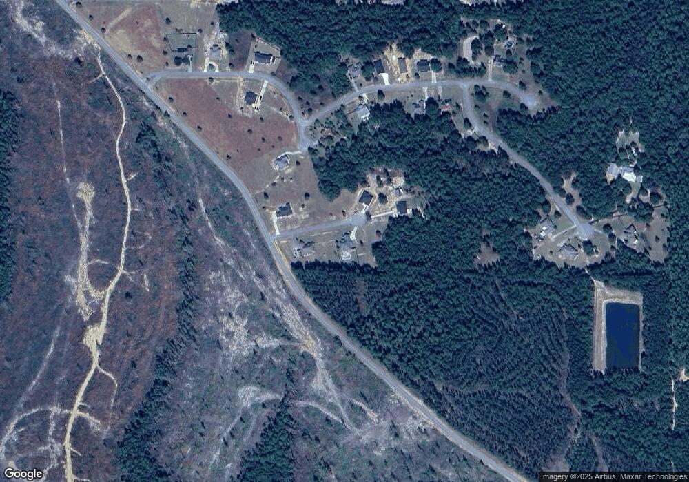
5694 Patrick Ln Vancleave, MS 39565
Estimated Value: $280,000 - $336,000
Studio
--
Bath
2,093
Sq Ft
$144/Sq Ft
Est. Value
About This Home
This home is located at 5694 Patrick Ln, Vancleave, MS 39565 and is currently estimated at $302,400, approximately $144 per square foot. 5694 Patrick Ln is a home with nearby schools including Vancleave Upper Elementary School, Vancleave Lower Elementary School, and Vancleave Middle School.
Ownership History
Date
Name
Owned For
Owner Type
Purchase Details
Closed on
Nov 24, 2009
Sold by
Joe West Realty Inc
Bought by
Hester Aaron C
Current Estimated Value
Home Financials for this Owner
Home Financials are based on the most recent Mortgage that was taken out on this home.
Original Mortgage
$13,500
Interest Rate
5.01%
Mortgage Type
Purchase Money Mortgage
Create a Home Valuation Report for This Property
The Home Valuation Report is an in-depth analysis detailing your home's value as well as a comparison with similar homes in the area
Purchase History
| Date | Buyer | Sale Price | Title Company |
|---|---|---|---|
| Hester Aaron C | -- | -- |
Source: Public Records
Mortgage History
| Date | Status | Borrower | Loan Amount |
|---|---|---|---|
| Closed | Hester Aaron C | $13,500 |
Source: Public Records
Tax History Compared to Growth
Tax History
| Year | Tax Paid | Tax Assessment Tax Assessment Total Assessment is a certain percentage of the fair market value that is determined by local assessors to be the total taxable value of land and additions on the property. | Land | Improvement |
|---|---|---|---|---|
| 2024 | $1,590 | $15,378 | $1,242 | $14,136 |
| 2023 | $1,546 | $15,378 | $1,242 | $14,136 |
| 2022 | $1,494 | $15,378 | $1,242 | $14,136 |
| 2021 | $1,501 | $15,449 | $1,242 | $14,207 |
| 2020 | $1,411 | $14,164 | $1,307 | $12,857 |
| 2019 | $1,392 | $14,164 | $1,307 | $12,857 |
| 2018 | $1,425 | $14,164 | $1,307 | $12,857 |
| 2017 | $1,455 | $14,164 | $1,307 | $12,857 |
| 2016 | $1,385 | $14,164 | $1,307 | $12,857 |
| 2015 | $1,269 | $131,160 | $13,070 | $118,090 |
| 2014 | $1,299 | $13,614 | $1,307 | $12,307 |
| 2013 | $1,246 | $13,614 | $1,307 | $12,307 |
Source: Public Records
Map
Nearby Homes
- 0 Jeremy Ln Unit 4120591
- 0 E Spring Lake Dr
- 17220 Spring Lake Dr E
- 0 Hwy 57 Unit 4132052
- 0 Hwy 57 Unit 4034427
- 4901 Ashmore Ridge Dr
- 17105 Spring Lake Dr W
- 16744 Spring Lake Dr W
- 0 Ashmore Ridge Dr Unit 2019001027
- 17220 Old Kelly Rd
- 16404 Lake Dr W
- 5701 Juniper Dr
- 0 River Bluffs Lot 33 Dr
- 0 Sampras Blvd Unit 4130535
- Lot 111 River Place
- 2306 Sampras Blvd
- 0 Dr Unit 4052148
- 2913 Holden Dr
- 15208 Old River Rd
- 0 Fairley Rd
- 5724 Patrick Ln
- 0 Patrick Ln
- 41 Patrick Ln
- 5720 Patrick Ln
- 43 Patrick
- 5704 Samuel Poi
- 42 Patrick Ln
- 5701 Jeremy Ln
- 5713 Samuel Poi Ln
- 031 Jeremy Ln
- 0000 Jeremy Ln
- 31 Jeremy
- 00 Samuel Pol Ln
- 5624 Jeremy Ln
- 5613 Jeremy Ln
- 5604 Jeremy Ln
- Lot 14 Jeremy Ln
- 0034 Samuel Poi Ln
- 0000 Samuel Pol Ln
- 5600 Jeremy Ln
