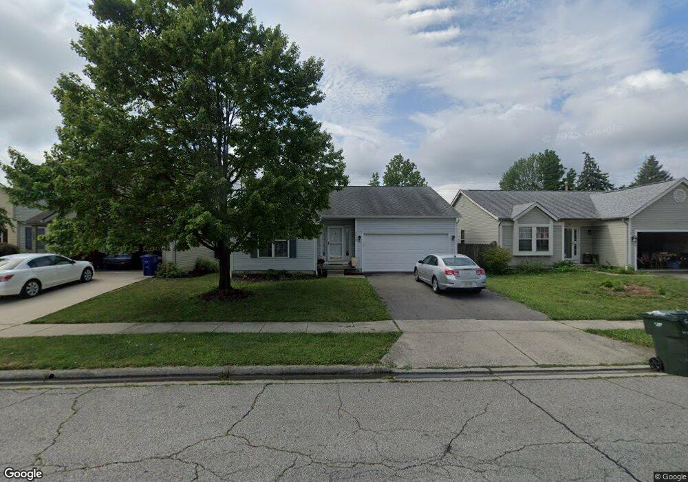
5695 Sundial Dr Galloway, OH 43119
Westchester-Green Countrie NeighborhoodEstimated Value: $279,328 - $313,000
3
Beds
2
Baths
1,241
Sq Ft
$235/Sq Ft
Est. Value
About This Home
This home is located at 5695 Sundial Dr, Galloway, OH 43119 and is currently estimated at $291,832, approximately $235 per square foot. 5695 Sundial Dr is a home located in Franklin County with nearby schools including Darby Woods Elementary School, Galloway Ridge Intermediate School, and Pleasant View Middle School.
Ownership History
Date
Name
Owned For
Owner Type
Purchase Details
Closed on
Apr 13, 2000
Sold by
Moore Sandra G and Walker Sandra G
Bought by
Wright James M and Wright Diana D
Current Estimated Value
Home Financials for this Owner
Home Financials are based on the most recent Mortgage that was taken out on this home.
Original Mortgage
$112,842
Outstanding Balance
$38,826
Interest Rate
8.29%
Mortgage Type
FHA
Estimated Equity
$253,006
Purchase Details
Closed on
Jul 27, 1994
Sold by
Borror Corp
Bought by
Sandra G Moore
Home Financials for this Owner
Home Financials are based on the most recent Mortgage that was taken out on this home.
Original Mortgage
$99,182
Interest Rate
8.41%
Mortgage Type
FHA
Purchase Details
Closed on
Jul 29, 1993
Purchase Details
Closed on
Sep 25, 1992
Create a Home Valuation Report for This Property
The Home Valuation Report is an in-depth analysis detailing your home's value as well as a comparison with similar homes in the area
Home Values in the Area
Average Home Value in this Area
Purchase History
| Date | Buyer | Sale Price | Title Company |
|---|---|---|---|
| Wright James M | $112,900 | Chicago Title | |
| Sandra G Moore | $101,790 | -- | |
| -- | $57,900 | -- | |
| -- | -- | -- |
Source: Public Records
Mortgage History
| Date | Status | Borrower | Loan Amount |
|---|---|---|---|
| Open | Wright James M | $112,842 | |
| Closed | Sandra G Moore | $99,182 |
Source: Public Records
Tax History Compared to Growth
Tax History
| Year | Tax Paid | Tax Assessment Tax Assessment Total Assessment is a certain percentage of the fair market value that is determined by local assessors to be the total taxable value of land and additions on the property. | Land | Improvement |
|---|---|---|---|---|
| 2024 | $2,850 | $78,160 | $24,080 | $54,080 |
| 2023 | $2,799 | $78,155 | $24,080 | $54,075 |
| 2022 | $2,414 | $49,460 | $8,090 | $41,370 |
| 2021 | $2,462 | $49,460 | $8,090 | $41,370 |
| 2020 | $2,448 | $49,460 | $8,090 | $41,370 |
| 2019 | $2,325 | $41,450 | $6,760 | $34,690 |
| 2018 | $2,444 | $41,450 | $6,760 | $34,690 |
| 2017 | $2,304 | $41,450 | $6,760 | $34,690 |
| 2016 | $2,573 | $42,530 | $7,420 | $35,110 |
| 2015 | $2,573 | $42,530 | $7,420 | $35,110 |
| 2014 | $2,576 | $42,530 | $7,420 | $35,110 |
| 2013 | $1,345 | $44,765 | $7,805 | $36,960 |
Source: Public Records
Map
Nearby Homes
- 866 Riggsby Rd
- 0 Hall Rd
- 1086 Oak Bay Dr Unit 1086
- 1083 Oak Bay Dr
- 631 Dlyn St Unit 12
- 5261 Marci Way Unit D
- 5261 Marci Way Unit 4D
- 556 Pamlico St
- 5715 Oyster Bay Way
- 773 Rothrock Dr
- 805 Pipers Ln
- 5722 Silver Spurs Ln
- 515 Clairbrook Ave
- 452 Pamlico St Unit 9
- 491 Clairbrook Ave Unit 3
- 1310 Sweetbay Place
- 417 Pamlico St Unit JK2
- 477 Clairbrook Ave
- 813 Sumter St
- 5442 Westgrove Dr
- 5689 Sundial Dr
- 5701 Sundial Dr
- 5683 Sundial Dr
- 5707 Sundial Dr
- 5677 Sundial Dr
- 5715 Sundial Dr
- 5700 Sundial Dr
- 0 Hall Rd
- 5680 Sundial Dr
- 5708 Sundial Dr
- 5671 Sundial Dr
- 5721 Sundial Dr
- 998 Acorn Bay Dr
- 5672 Sundial Dr
- 5716 Sundial Dr
- 897 Riggsby Rd
- 1002 Acorn Bay Dr Unit 1002
- 5664 Sundial Dr
- 894 Riggsby Rd
- 1006 Acorn Bay Dr