5696 Highway 7 Lester Prairie, MN 55354
Estimated Value: $163,000 - $285,000
5
Beds
5
Baths
1,192
Sq Ft
$185/Sq Ft
Est. Value
About This Home
This home is located at 5696 Highway 7, Lester Prairie, MN 55354 and is currently estimated at $220,817, approximately $185 per square foot. 5696 Highway 7 is a home located in McLeod County with nearby schools including Lester Prairie Elementary School.
Ownership History
Date
Name
Owned For
Owner Type
Purchase Details
Closed on
Jul 1, 2022
Sold by
Nelson A R.D Nelson Created Under R Dean
Bought by
Moonen Erin and Moonen Ryan
Current Estimated Value
Home Financials for this Owner
Home Financials are based on the most recent Mortgage that was taken out on this home.
Original Mortgage
$80,000
Outstanding Balance
$76,215
Interest Rate
5.25%
Mortgage Type
New Conventional
Estimated Equity
$144,602
Purchase Details
Closed on
Jan 21, 2017
Sold by
Plath Linda Linda
Purchase Details
Closed on
Jul 8, 2016
Sold by
Plath Linda Linda
Create a Home Valuation Report for This Property
The Home Valuation Report is an in-depth analysis detailing your home's value as well as a comparison with similar homes in the area
Home Values in the Area
Average Home Value in this Area
Purchase History
| Date | Buyer | Sale Price | Title Company |
|---|---|---|---|
| Moonen Erin | $115,000 | -- | |
| -- | $81,000 | -- | |
| Raymond Daniel Nelson | $81,000 | None Available | |
| -- | $81,000 | -- |
Source: Public Records
Mortgage History
| Date | Status | Borrower | Loan Amount |
|---|---|---|---|
| Open | Moonen Erin | $80,000 |
Source: Public Records
Tax History Compared to Growth
Tax History
| Year | Tax Paid | Tax Assessment Tax Assessment Total Assessment is a certain percentage of the fair market value that is determined by local assessors to be the total taxable value of land and additions on the property. | Land | Improvement |
|---|---|---|---|---|
| 2024 | $1,352 | $130,900 | $82,600 | $48,300 |
| 2023 | $1,440 | $130,900 | $82,600 | $48,300 |
| 2022 | $1,254 | $129,000 | $82,700 | $46,300 |
| 2021 | $1,284 | $90,100 | $63,500 | $26,600 |
| 2020 | $1,194 | $90,100 | $63,500 | $26,600 |
| 2019 | $900 | $82,900 | $57,800 | $25,100 |
| 2018 | $812 | $0 | $0 | $0 |
| 2017 | $650 | $0 | $0 | $0 |
| 2016 | $678 | $0 | $0 | $0 |
| 2015 | $520 | $0 | $0 | $0 |
| 2014 | -- | $0 | $0 | $0 |
Source: Public Records
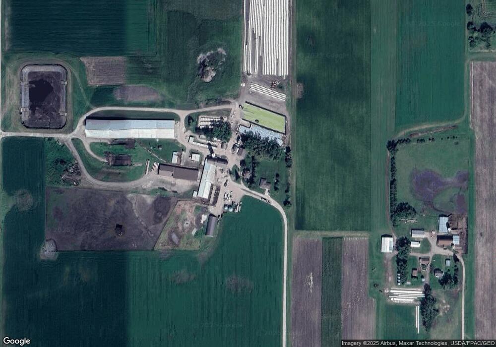
Map
Nearby Homes
- 4695 Castle Cir
- 18504 Cable Ave
- 3225 180th St
- 35 Hickory St N
- 223 Maple St N
- 128 Kennedy Ave S
- 230 Hi Mae Cir
- 17242 Garden Ave
- 222 Fir St S
- 216 Juniper St S
- 107 Redwood St N
- 7747 235th St
- 213 Century Ln
- 107 Century Ln
- 208 Main St E
- 208 Cleveland St SE
- XXXX Route 7
- 217 Grove Ave N
- 316 Lake Ave N
- 319 Summit Ave
- 5506 Highway 7
- 5506 Highway 7
- 5667 Highway 7
- 5454 Highway 7
- 5383 Highway 7
- 5797 Highway 7
- 5797 Highway 7
- 5797 Highway 7
- 20101 Dairy Ave
- 20101 Dairy Ave
- 5694 Highway 7
- 5151 Highway 7
- 5151 Highway 7
- 6021 Highway 7
- 6021 Highway 7
- 6021 Highway 7
- 5991 Highway 7
- 19747 Dairy Ave
- 20041 Dairy Ave
- 20313 Eagle Ave