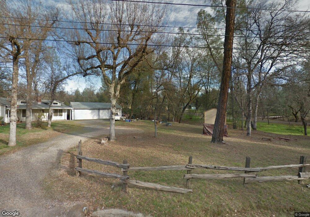
5697 Daniels Ln Redding, CA 96003
Estimated Value: $314,000 - $438,000
3
Beds
3
Baths
1,704
Sq Ft
$222/Sq Ft
Est. Value
About This Home
This home is located at 5697 Daniels Ln, Redding, CA 96003 and is currently estimated at $378,670, approximately $222 per square foot. 5697 Daniels Ln is a home located in Shasta County.
Ownership History
Date
Name
Owned For
Owner Type
Purchase Details
Closed on
Mar 23, 2023
Sold by
Ostrander Cynthia L
Bought by
Cynthia Ostrander Living Trust and Ostrander
Current Estimated Value
Create a Home Valuation Report for This Property
The Home Valuation Report is an in-depth analysis detailing your home's value as well as a comparison with similar homes in the area
Purchase History
| Date | Buyer | Sale Price | Title Company |
|---|---|---|---|
| Cynthia Ostrander Living Trust | -- | None Listed On Document |
Source: Public Records
Tax History
| Year | Tax Paid | Tax Assessment Tax Assessment Total Assessment is a certain percentage of the fair market value that is determined by local assessors to be the total taxable value of land and additions on the property. | Land | Improvement |
|---|---|---|---|---|
| 2025 | $1,570 | $150,565 | $36,776 | $113,789 |
| 2024 | $1,539 | $147,613 | $36,055 | $111,558 |
| 2023 | $1,539 | $144,720 | $35,349 | $109,371 |
| 2022 | $1,497 | $141,883 | $34,656 | $107,227 |
| 2021 | $1,475 | $139,102 | $33,977 | $105,125 |
| 2020 | $1,468 | $137,677 | $33,629 | $104,048 |
| 2019 | $1,422 | $134,978 | $32,970 | $102,008 |
| 2018 | $1,420 | $132,332 | $32,324 | $100,008 |
| 2017 | $1,395 | $129,739 | $31,691 | $98,048 |
| 2016 | $1,334 | $127,196 | $31,070 | $96,126 |
| 2015 | $1,312 | $125,287 | $30,604 | $94,683 |
| 2014 | -- | $122,834 | $30,005 | $92,829 |
Source: Public Records
Map
Nearby Homes
- 13672 Twin Lakes Ln
- 14020 Windfall Dr
- 21114 Golden Trail W
- 0 Manzanillo Way Unit 25-2218
- 0 Manzanillo Way Unit 22-4418
- 14378 Christian Way
- 20700 Bernard Way
- 20621 Chipeta Way
- 14091 Highview Trail
- 13911 Blue Ridge Dr
- 13303 Intermountain Rd
- NSA Bernard Way
- 13606 Jeep Trail
- 0 Wistful Vista Ln Unit 26-735
- 0 Bear Mountain Rd Unit 26-985
- 0 Hidden Oaks Trail
- 13497 Old Oregon Trail
- 20114 Vernita Dr
- 0 Spring Lake St
- 13840 Ridge View Rd
- 13839 Daniels Ln
- 13879 Daniels Ln
- 13876 Daniels Ln
- 13830 Daniels Ln
- 13877 Daniels Ln
- 13810 Daniels Ln
- 13896 Daniels Ln
- 13812 Bear Mountain Rd
- 13858 Christian Way
- 13858 Deep Woods Place
- 13830 Bear Mountain Rd
- 13886 Deep Woods Place
- 13794 Bear Mountain Rd
- 13886 Christian Way
- 13810 Deep Woods Place Unit 2
- 13810 Deep Woods Place
- 13792 Daniels Ln
- 13916 Christian Way
- 20835 Sunshine Ranch Rd
- 13924 Daniels Ln
Your Personal Tour Guide
Ask me questions while you tour the home.