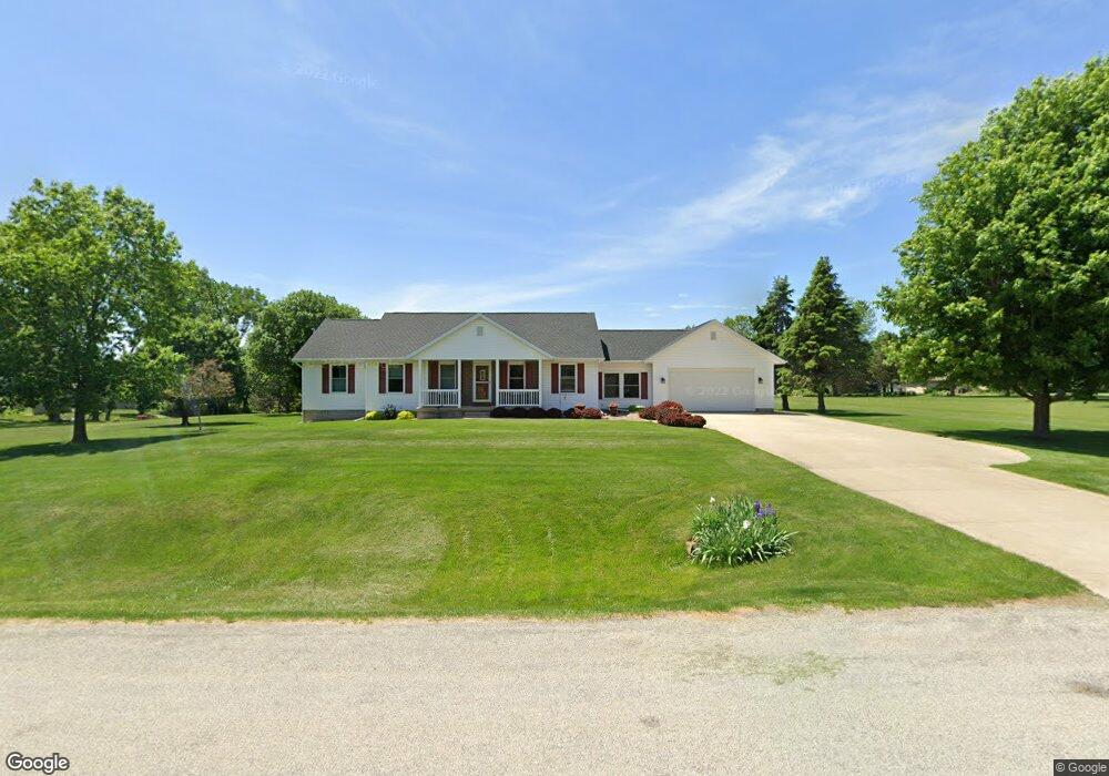
5697 Hunt Ridge Dr Cedar Rapids, IA 52411
Estimated Value: $407,000 - $477,000
4
Beds
3
Baths
1,759
Sq Ft
$244/Sq Ft
Est. Value
About This Home
This home is located at 5697 Hunt Ridge Dr, Cedar Rapids, IA 52411 and is currently estimated at $430,061, approximately $244 per square foot. 5697 Hunt Ridge Dr is a home located in Linn County with nearby schools including Hiawatha Elementary School, Harding Middle School, and John F. Kennedy High School.
Ownership History
Date
Name
Owned For
Owner Type
Purchase Details
Closed on
Jan 3, 2025
Sold by
Stevenson Arnold A and Stevenson Kristie S
Bought by
Stevenson Kristie S
Current Estimated Value
Purchase Details
Closed on
Nov 25, 2019
Sold by
Stevenson Arnold R and Stevenson Kristie S
Bought by
Stevenson Arnold A and Stevenson Kristie S
Purchase Details
Closed on
Jun 12, 2000
Sold by
Dennis Robert K and Dennis Eloise Beatty
Bought by
Dennis Robert K and Dennis Eloise Beatty
Create a Home Valuation Report for This Property
The Home Valuation Report is an in-depth analysis detailing your home's value as well as a comparison with similar homes in the area
Home Values in the Area
Average Home Value in this Area
Purchase History
| Date | Buyer | Sale Price | Title Company |
|---|---|---|---|
| Stevenson Kristie S | -- | None Listed On Document | |
| Stevenson Kristie S | -- | None Listed On Document | |
| Stevenson Arnold A | -- | None Available | |
| Dennis Robert K | -- | -- |
Source: Public Records
Tax History
| Year | Tax Paid | Tax Assessment Tax Assessment Total Assessment is a certain percentage of the fair market value that is determined by local assessors to be the total taxable value of land and additions on the property. | Land | Improvement |
|---|---|---|---|---|
| 2025 | $4,038 | $416,000 | $65,000 | $351,000 |
| 2024 | $3,840 | $374,000 | $65,000 | $309,000 |
| 2023 | $3,840 | $374,000 | $65,000 | $309,000 |
| 2022 | $3,794 | $284,000 | $65,000 | $219,000 |
| 2021 | $3,920 | $284,000 | $65,000 | $219,000 |
| 2020 | $3,920 | $271,400 | $50,000 | $221,400 |
| 2019 | $3,704 | $262,300 | $50,000 | $212,300 |
Source: Public Records
Map
Nearby Homes
- 3012 Prairielight Ct
- 3025 Valley Ct
- 2874 Grassland Ct
- 2872 Grassland Ct
- 2870 Grassland Ct
- 2879 Grassland Ct
- 2877 Grassland Ct
- 2875 Grassland Ct
- 2873 Grassland Ct
- 2856 Mary Green Rd
- 2853 Mary Green Rd
- 2851 Mary Green Rd
- 2830 Prairie Wind Ct
- 9800 Hall Rd
- 3551 Mclain Way
- 3553 Mclain Way
- 3526 Reed Rd
- 3012 Prairielight Dr
- 2821 Prairielight Dr
- 2862 Anne Dr
- 5719 Hunt Ridge Dr
- 5683 Hunt Ridge Dr
- 2859 Hunt Trail
- 5694 Hunt Ridge Dr
- 5737 Hunt Ridge Dr
- 2863 Hunt Trail
- 5708 Hunt Ridge Dr
- 2855 Hunt Trail
- 5655 Hunt Ridge Dr
- 5680 Hunt Ridge Dr
- 5759 Hunt Ridge Dr
- 5722 Hunt Ridge Dr
- 2847 Hunt Trail
- 2856 Hunt Trail
- 5738 Hunt Ridge Dr
- 2864 Hunt Trail
- 2871 Hunt Trail
- 5664 Hunt Ridge Dr
- 3043 Savannah Ct
- 5650 Hunt Ridge Dr
Your Personal Tour Guide
Ask me questions while you tour the home.