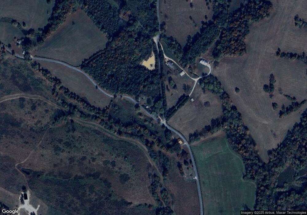
57 Aaron Branch Rd Westpoint, TN 38486
Estimated Value: $135,000 - $163,000
--
Bed
1
Bath
1,329
Sq Ft
$112/Sq Ft
Est. Value
About This Home
This home is located at 57 Aaron Branch Rd, Westpoint, TN 38486 and is currently estimated at $148,857, approximately $112 per square foot. 57 Aaron Branch Rd is a home located in Lawrence County with nearby schools including David Crockett Elementary School, South Lawrence Elementary School, and Ingram Sowell Elementary School.
Ownership History
Date
Name
Owned For
Owner Type
Purchase Details
Closed on
Oct 9, 2003
Sold by
Joe Brumfield and Lou Mary
Bought by
Rex Kilburn
Current Estimated Value
Purchase Details
Closed on
Feb 20, 2002
Sold by
Willard Kilburn
Bought by
Rex Kilburn
Purchase Details
Closed on
Mar 26, 1993
Bought by
Kilburn Willard and Kilburn Jean
Purchase Details
Closed on
Oct 20, 1989
Bought by
Trapp Betty J
Purchase Details
Closed on
May 22, 1987
Bought by
Rochelle Joe W
Purchase Details
Closed on
Jan 1, 1982
Create a Home Valuation Report for This Property
The Home Valuation Report is an in-depth analysis detailing your home's value as well as a comparison with similar homes in the area
Home Values in the Area
Average Home Value in this Area
Purchase History
| Date | Buyer | Sale Price | Title Company |
|---|---|---|---|
| Rex Kilburn | $7,500 | -- | |
| Rex Kilburn | $31,200 | -- | |
| Kilburn Willard | $34,000 | -- | |
| Trapp Betty J | $27,000 | -- | |
| Rochelle Joe W | -- | -- | |
| -- | $28,000 | -- |
Source: Public Records
Tax History Compared to Growth
Tax History
| Year | Tax Paid | Tax Assessment Tax Assessment Total Assessment is a certain percentage of the fair market value that is determined by local assessors to be the total taxable value of land and additions on the property. | Land | Improvement |
|---|---|---|---|---|
| 2024 | $492 | $24,475 | $10,275 | $14,200 |
| 2023 | $492 | $24,475 | $10,275 | $14,200 |
| 2022 | $492 | $24,475 | $10,275 | $14,200 |
| 2021 | $317 | $10,725 | $5,550 | $5,175 |
| 2020 | $317 | $10,725 | $5,550 | $5,175 |
| 2019 | $317 | $10,725 | $5,550 | $5,175 |
| 2018 | $317 | $10,725 | $5,550 | $5,175 |
| 2017 | $317 | $10,725 | $5,550 | $5,175 |
| 2016 | $317 | $10,725 | $5,550 | $5,175 |
| 2015 | $294 | $10,725 | $5,550 | $5,175 |
| 2014 | $305 | $11,125 | $5,550 | $5,575 |
Source: Public Records
Map
Nearby Homes
- 887 Waterloo Rd
- 437 S Ore Rd
- 0 S Randall Rd
- 366 Ridge Rd
- 0 Grandaddy Rd
- 2 Canaan Rd
- 12 Grace Ln
- 1164 Fish Trapp Rd
- 347 Waterloo Rd
- 15 Clifton Rd
- 0 Factory Creek Rd
- 48 Mount Lebanon Rd
- 169 N Chisholm Creek Rd
- 2312 Little Fish Trap Rd
- 42 Chisholm Crossing
- 109 W Cherry St
- 2016 Tennessee St
- 2034 Tennessee St
- 130 Water Tower Rd
- 139 Water Tower Rd
- 24 Rochelle Cemetery Rd
- 58 Aaron Branch Rd
- 97 Aaron Branch Rd
- 22 Aaron Branch Rd
- 21 Rochelle Cemetery Rd
- 11 Aaron Branch Rd
- 912 Waterloo Rd
- 914 Waterloo Rd
- 10 Rochelle Cemetery Rd
- 414 Pond Field Rd
- 7 Rochelle Cemetery Rd
- 402 Pond Field Rd
- 88 Aaron Branch Rd
- 842 Waterloo Rd
- 2 Lodi Rd
- 856 Waterloo Rd
- 837 Waterloo Rd
- 0 Sims Ridge Rd
- 949 Waterloo Rd
- 26 Rochelle Rd
