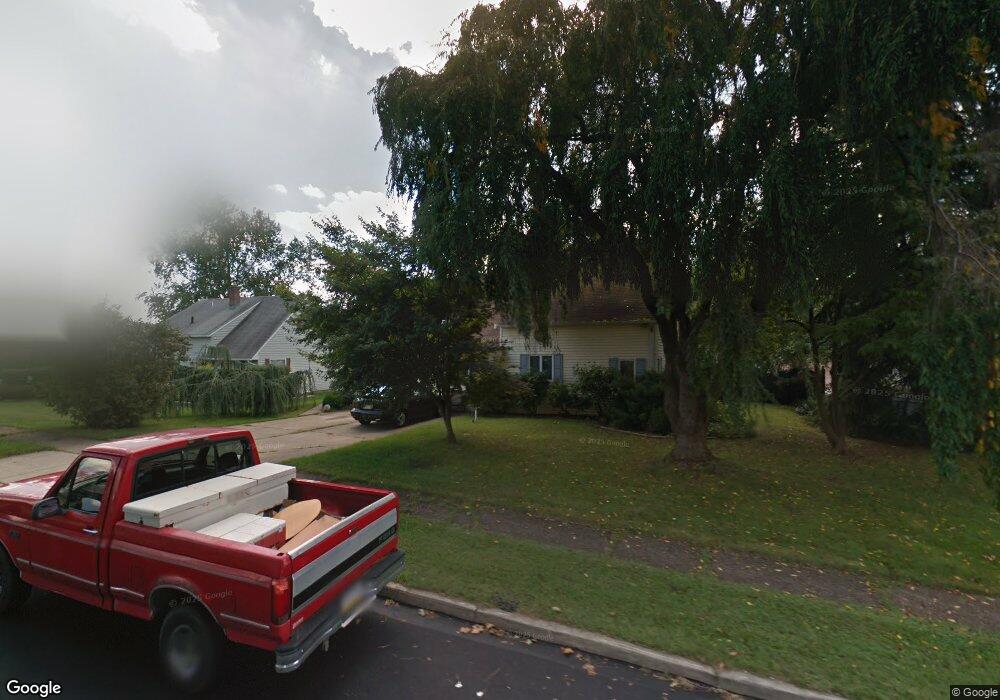
57 Aspen Ln Levittown, PA 19055
Appletree Hill NeighborhoodEstimated Value: $312,755 - $441,000
4
Beds
2
Baths
1,840
Sq Ft
$211/Sq Ft
Est. Value
About This Home
This home is located at 57 Aspen Ln, Levittown, PA 19055 and is currently estimated at $388,439, approximately $211 per square foot. 57 Aspen Ln is a home located in Bucks County with nearby schools including Truman Senior High School, Emilie Christian Day School, and Hope Lutheran School.
Ownership History
Date
Name
Owned For
Owner Type
Purchase Details
Closed on
Jun 21, 1993
Sold by
Thompson Terry Charles
Bought by
Ives Mark A and Ives Carole A
Current Estimated Value
Purchase Details
Closed on
Feb 10, 1981
Bought by
Thompson Terry Charles
Create a Home Valuation Report for This Property
The Home Valuation Report is an in-depth analysis detailing your home's value as well as a comparison with similar homes in the area
Home Values in the Area
Average Home Value in this Area
Purchase History
| Date | Buyer | Sale Price | Title Company |
|---|---|---|---|
| Ives Mark A | $100,000 | -- | |
| Thompson Terry Charles | $41,500 | -- |
Source: Public Records
Tax History Compared to Growth
Tax History
| Year | Tax Paid | Tax Assessment Tax Assessment Total Assessment is a certain percentage of the fair market value that is determined by local assessors to be the total taxable value of land and additions on the property. | Land | Improvement |
|---|---|---|---|---|
| 2025 | $5,540 | $20,400 | $6,080 | $14,320 |
| 2024 | $5,540 | $20,400 | $6,080 | $14,320 |
| 2023 | $5,499 | $20,400 | $6,080 | $14,320 |
| 2022 | $5,499 | $20,400 | $6,080 | $14,320 |
| 2021 | $5,499 | $20,400 | $6,080 | $14,320 |
| 2020 | $5,499 | $20,400 | $6,080 | $14,320 |
| 2019 | $5,479 | $20,400 | $6,080 | $14,320 |
| 2018 | $5,391 | $20,400 | $6,080 | $14,320 |
| 2017 | $5,309 | $20,400 | $6,080 | $14,320 |
| 2016 | $5,309 | $20,400 | $6,080 | $14,320 |
| 2015 | $3,843 | $20,400 | $6,080 | $14,320 |
| 2014 | $3,843 | $20,400 | $6,080 | $14,320 |
Source: Public Records
Map
Nearby Homes
- 28 Rainbow Ln
- 58 Rocky Pool Ln
- 24 Robin Hill Ln
- 2 Red Maple Ln
- 316 Crabtree Dr
- 560 Fernwood Ln
- L:108 Cypress Ave
- 24 Chestnut Ln
- 11 Crimson King Ln
- 525 Nel Dr
- L235.17 Edgely Rd
- 28 Outlook Ln
- 23 Crabtree Dr
- 179 Crabtree Dr
- 744 Fairbridge Dr
- 22 Myrtle Ln
- 514 Drexel Rd
- 27 Good Ln
- 29 Graceful Ln
- 524 Ehret Rd