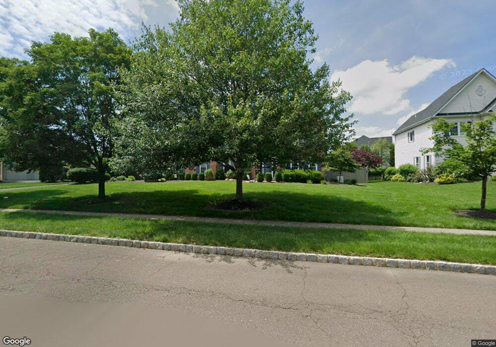
57 Bittersweet Dr Doylestown, PA 18901
Estimated Value: $1,135,206 - $1,277,000
4
Beds
4
Baths
4,795
Sq Ft
$255/Sq Ft
Est. Value
About This Home
This home is located at 57 Bittersweet Dr, Doylestown, PA 18901 and is currently estimated at $1,221,302, approximately $254 per square foot. 57 Bittersweet Dr is a home located in Bucks County with nearby schools including Kutz Elementary School, Lenape Middle School, and Central Bucks High School-West.
Ownership History
Date
Name
Owned For
Owner Type
Purchase Details
Closed on
Nov 2, 1998
Sold by
The Cutler Group Inc
Bought by
Mineroff Allan D and Minecoff Maryjane
Current Estimated Value
Home Financials for this Owner
Home Financials are based on the most recent Mortgage that was taken out on this home.
Original Mortgage
$335,350
Outstanding Balance
$73,585
Interest Rate
6.65%
Estimated Equity
$1,147,717
Create a Home Valuation Report for This Property
The Home Valuation Report is an in-depth analysis detailing your home's value as well as a comparison with similar homes in the area
Home Values in the Area
Average Home Value in this Area
Purchase History
| Date | Buyer | Sale Price | Title Company |
|---|---|---|---|
| Mineroff Allan D | $372,631 | Fidelity National Title Ins |
Source: Public Records
Mortgage History
| Date | Status | Borrower | Loan Amount |
|---|---|---|---|
| Open | Mineroff Allan D | $335,350 |
Source: Public Records
Tax History
| Year | Tax Paid | Tax Assessment Tax Assessment Total Assessment is a certain percentage of the fair market value that is determined by local assessors to be the total taxable value of land and additions on the property. | Land | Improvement |
|---|---|---|---|---|
| 2025 | $12,007 | $67,850 | $7,440 | $60,410 |
| 2024 | $12,007 | $67,850 | $7,440 | $60,410 |
| 2023 | $11,449 | $67,850 | $7,440 | $60,410 |
| 2022 | $11,321 | $67,850 | $7,440 | $60,410 |
| 2021 | $11,088 | $67,850 | $7,440 | $60,410 |
| 2020 | $11,038 | $67,850 | $7,440 | $60,410 |
| 2019 | $10,919 | $67,850 | $7,440 | $60,410 |
| 2018 | $10,885 | $67,850 | $7,440 | $60,410 |
| 2017 | $10,800 | $67,850 | $7,440 | $60,410 |
| 2016 | $10,732 | $67,850 | $7,440 | $60,410 |
| 2015 | -- | $67,850 | $7,440 | $60,410 |
| 2014 | -- | $67,850 | $7,440 | $60,410 |
Source: Public Records
Map
Nearby Homes
- 72 Bittersweet Dr
- 168 Shady Brook Cir
- 137 Wells Rd
- 28 Brinker Dr
- 60 Pebble Ridge Rd
- 44 Buck Rd
- 14 Addison Ct Unit 2504
- 588 Almshouse Rd
- 60 Quarry Rd
- 30 Duane Rd
- 11 Tradesville Dr
- 3159 Bristol Rd
- 49 Tradesville Dr
- 112 Steeplechase Dr
- 2401 Lower State Rd Unit 106
- 23 Mill Creek Dr
- 3 Aspen Way Unit 33
- 43 Evergreen Dr
- 45 Maple Dr
- 703 Eagle Ln
- 53 Bittersweet Dr
- 59 Bittersweet Dr
- 3 Hudson Ct
- 56 Bittersweet Dr
- 49 Bittersweet Dr
- 54 Bittersweet Dr
- 58 Bittersweet Dr
- 5 Hudson Ct
- 52 Bittersweet Dr
- 4 Windrose Cir
- 61 Bittersweet Dr
- 8 Windrose Cir
- 60 Bittersweet Dr
- 2 Windrose Cir
- 6 Hudson Ct
- 50 Bittersweet Dr
- 4 Hudson Ct
- 48 Bittersweet Dr
- 62 Bittersweet Dr
- 260 Windsor Way
Your Personal Tour Guide
Ask me questions while you tour the home.