57 Cape Bial Ln Westport Point, MA 02791
Westport Point NeighborhoodEstimated Value: $738,000 - $1,121,000
2
Beds
--
Bath
1,372
Sq Ft
$709/Sq Ft
Est. Value
About This Home
This home is located at 57 Cape Bial Ln, Westport Point, MA 02791 and is currently estimated at $972,725, approximately $708 per square foot. 57 Cape Bial Ln is a home with nearby schools including Alice A. Macomber Primary School, Westport Elementary School, and Westport Middle-High School.
Ownership History
Date
Name
Owned For
Owner Type
Purchase Details
Closed on
Jul 20, 2007
Sold by
5 Lawrence Avenue Rt
Bought by
Akerson Carol A and Kelly Richard R
Current Estimated Value
Home Financials for this Owner
Home Financials are based on the most recent Mortgage that was taken out on this home.
Original Mortgage
$429,000
Outstanding Balance
$268,699
Interest Rate
6.54%
Mortgage Type
Purchase Money Mortgage
Estimated Equity
$704,026
Purchase Details
Closed on
Jul 16, 2004
Sold by
Akerson Jean G
Bought by
57 Cape Bial Lane Rt
Create a Home Valuation Report for This Property
The Home Valuation Report is an in-depth analysis detailing your home's value as well as a comparison with similar homes in the area
Home Values in the Area
Average Home Value in this Area
Purchase History
| Date | Buyer | Sale Price | Title Company |
|---|---|---|---|
| Akerson Carol A | $536,250 | -- | |
| 57 Cape Bial Lane Rt | -- | -- |
Source: Public Records
Mortgage History
| Date | Status | Borrower | Loan Amount |
|---|---|---|---|
| Open | 57 Cape Bial Lane Rt | $429,000 |
Source: Public Records
Tax History Compared to Growth
Tax History
| Year | Tax Paid | Tax Assessment Tax Assessment Total Assessment is a certain percentage of the fair market value that is determined by local assessors to be the total taxable value of land and additions on the property. | Land | Improvement |
|---|---|---|---|---|
| 2025 | $6,713 | $901,100 | $621,300 | $279,800 |
| 2024 | $6,309 | $816,200 | $542,200 | $274,000 |
| 2023 | $6,064 | $743,100 | $484,500 | $258,600 |
| 2022 | $5,539 | $653,200 | $433,500 | $219,700 |
| 2021 | $5,066 | $587,700 | $376,700 | $211,000 |
| 2020 | $4,827 | $572,600 | $361,600 | $211,000 |
| 2019 | $4,567 | $552,200 | $344,900 | $207,300 |
| 2018 | $4,002 | $489,800 | $310,600 | $179,200 |
| 2017 | $3,920 | $491,900 | $310,600 | $181,300 |
| 2016 | $3,814 | $482,200 | $316,600 | $165,600 |
| 2015 | $3,751 | $473,000 | $316,600 | $156,400 |
Source: Public Records
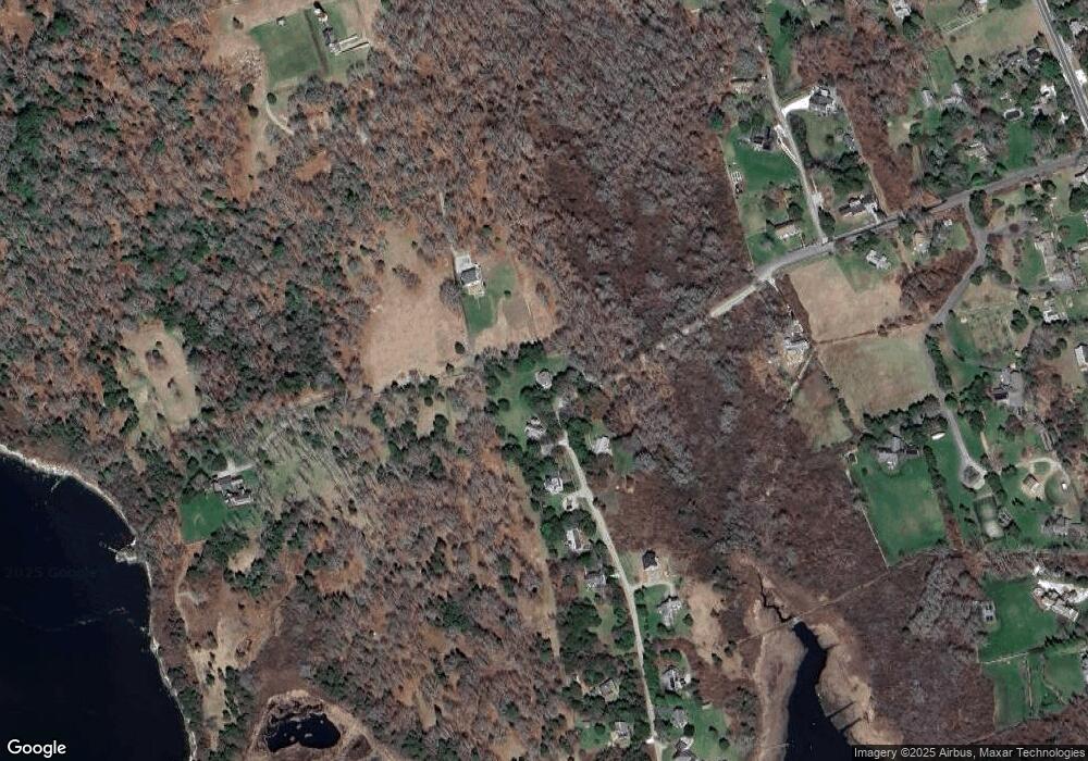
Map
Nearby Homes
- 1881 Main Rd
- 1702J Drift Rd
- 1702 Drift Rd
- 1580 Main Rd
- 0 Reed Rd (Ss)
- 19 Seabury Ln
- 1346 Main Rd Unit B
- 99 Sylvia Ln
- 189 Brayton Point Rd
- 304 Brayton Point Rd
- 255 John Dyer Rd
- 245 John Dyer Rd
- 17 Quail Trail
- 238-242 E Beach Rd
- 225 Hixbridge Rd
- 920 Drift Rd
- 101 Adamsville Rd
- Lot 2 Horseneck Rd
- 505 Long Hwy
- 837 Main Road & Lot 2
- 9 Lawrence Ave
- 9 Lawrence Ave Unit WEEKLY
- 10 Lawrence Ave
- 22 Lawrence Ave
- 15 Lawrence Ave
- 23 Lawrence Ave
- 46 Cape Bial Ln
- 18 Lawrence Ave
- 43 Cape Bial Ln
- 14 Robbins St
- 39 Lawrence Ave
- 14 Robbins St
- 38 Lawrence Ave
- 1789B Main Rd
- 32 Cape Bial
- 31 Cape Bial
- 22 Robbins Rd
- 43 Lawrence Ave Unit Weekly
- 43 Lawrence Ave Unit 1
- 43 Lawrence Ave