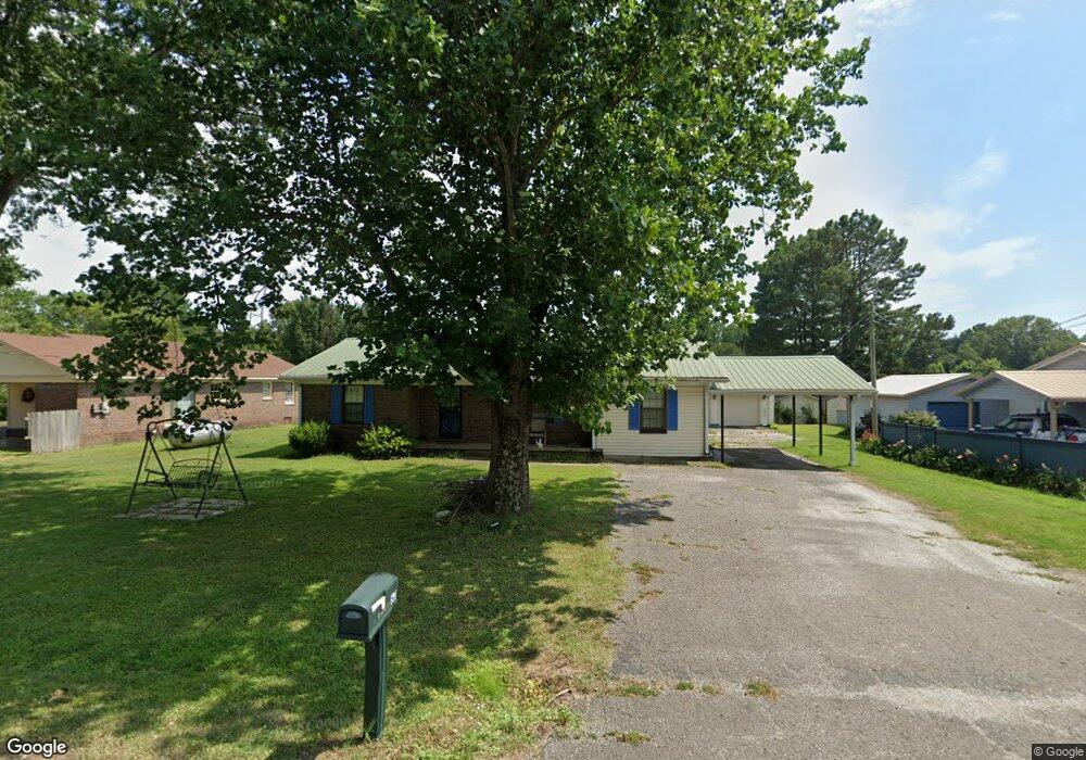
57 Carnell Dr Gadsden, TN 38337
Estimated Value: $142,000 - $146,075
--
Bed
--
Bath
1,304
Sq Ft
$111/Sq Ft
Est. Value
About This Home
This home is located at 57 Carnell Dr, Gadsden, TN 38337 and is currently estimated at $145,019, approximately $111 per square foot. 57 Carnell Dr is a home with nearby schools including Crockett County High School.
Ownership History
Date
Name
Owned For
Owner Type
Purchase Details
Closed on
Mar 21, 2025
Sold by
Hart William and Hart Sheliah C
Bought by
Ballentine Matthew and Ballentine Bernice
Current Estimated Value
Home Financials for this Owner
Home Financials are based on the most recent Mortgage that was taken out on this home.
Original Mortgage
$145,000
Outstanding Balance
$144,128
Interest Rate
6.85%
Mortgage Type
VA
Estimated Equity
$891
Purchase Details
Closed on
Dec 23, 2024
Sold by
Hart Kellie Denise
Bought by
Hart William and Hart Sheliah C
Purchase Details
Closed on
May 22, 2018
Sold by
Hart William Roger
Bought by
Hart Kellie D
Purchase Details
Closed on
Mar 28, 1979
Bought by
Hart William Roger and Hart Sheilah C
Purchase Details
Closed on
Jan 1, 1979
Purchase Details
Closed on
May 13, 1977
Purchase Details
Closed on
Feb 27, 1973
Purchase Details
Closed on
Jan 1, 1973
Purchase Details
Closed on
Jun 15, 1970
Create a Home Valuation Report for This Property
The Home Valuation Report is an in-depth analysis detailing your home's value as well as a comparison with similar homes in the area
Home Values in the Area
Average Home Value in this Area
Purchase History
| Date | Buyer | Sale Price | Title Company |
|---|---|---|---|
| Ballentine Matthew | $145,000 | Wagon Wheel Title | |
| Ballentine Matthew | $145,000 | Wagon Wheel Title | |
| Hart William | -- | None Listed On Document | |
| Hart Kellie D | $60,000 | -- | |
| Hart William Roger | -- | -- | |
| -- | $25,000 | -- | |
| -- | -- | -- | |
| -- | -- | -- | |
| -- | $13,600 | -- | |
| -- | -- | -- |
Source: Public Records
Mortgage History
| Date | Status | Borrower | Loan Amount |
|---|---|---|---|
| Open | Ballentine Matthew | $145,000 | |
| Closed | Ballentine Matthew | $145,000 |
Source: Public Records
Tax History Compared to Growth
Tax History
| Year | Tax Paid | Tax Assessment Tax Assessment Total Assessment is a certain percentage of the fair market value that is determined by local assessors to be the total taxable value of land and additions on the property. | Land | Improvement |
|---|---|---|---|---|
| 2025 | $561 | $36,325 | $0 | $0 |
| 2024 | $561 | $24,700 | $2,000 | $22,700 |
| 2023 | $561 | $24,700 | $2,000 | $22,700 |
| 2022 | $561 | $24,700 | $2,000 | $22,700 |
| 2021 | $422 | $16,000 | $1,500 | $14,500 |
| 2020 | $414 | $16,000 | $1,500 | $14,500 |
| 2019 | $422 | $16,000 | $1,500 | $14,500 |
| 2018 | $422 | $16,000 | $1,500 | $14,500 |
| 2017 | $422 | $16,000 | $1,500 | $14,500 |
| 2016 | $422 | $16,000 | $1,500 | $14,500 |
| 2015 | $467 | $16,000 | $1,500 | $14,500 |
| 2014 | $467 | $17,705 | $0 | $0 |
Source: Public Records
Map
Nearby Homes
- 00 Lot#1 Humboldt Lake Rd
- 00 Lot#4 Humboldt Lake Rd
- 127 Franklin St
- 133 Mason St
- 136 Mason Grove Rd
- 21679 U S 79
- 397 Aubrey Fergerson Rd
- 0 Aubrey Fergerson Rd
- 00 Plomar Williams Rd
- 0 Plomar Williams Rd
- 159 Lipford Ln
- 297 Marlow Cemetery Rd
- 00 Highway 45 W
- 0 Clarence Norfleet Rd
- 120 Westwood Cove
- 580 Westside Dr
- 0 MacLin St Unit 224868
- 76 Etheridge St Unit R
- 73 Etheridge St
- 0 W Main St
- 115 Humboldt Lake Rd
- 47 Carnell Dr
- 89 Humboldt Lake Rd
- 127 Carnell Dr
- 63 Carnell Dr
- 64 Carnell Dr
- 147 Carnell Dr
- 151 Humboldt Lake Rd
- 151 Humboldt Lake Rd
- 132 Humboldt Lake Rd
- 79 Carnell Dr
- 63 Humboldt Lake Rd
- 195 Humboldt Lake Rd
- 152 Humboldt Lake Rd
- 58 Carl St
- 95 Carnell Dr
- 168 Humboldt Lake Rd
- 74 Carl St
- 207 Carnell Dr
- 37 Humboldt Lake Rd