57 Carnoustie Ct Pawleys Island, SC 29585
Estimated Value: $735,000 - $931,000
4
Beds
3
Baths
2,598
Sq Ft
$304/Sq Ft
Est. Value
About This Home
This home is located at 57 Carnoustie Ct, Pawleys Island, SC 29585 and is currently estimated at $788,735, approximately $303 per square foot. 57 Carnoustie Ct is a home located in Georgetown County with nearby schools including Waccamaw Elementary School, Waccamaw Intermediate School, and Waccamaw Middle School.
Ownership History
Date
Name
Owned For
Owner Type
Purchase Details
Closed on
Oct 25, 2013
Sold by
Richmond Steven R
Bought by
Buckley Dennis P and Bucley Karen S
Current Estimated Value
Purchase Details
Closed on
Nov 29, 2007
Sold by
Boewe Gary L
Bought by
Richmond Steven R and Richmond Christina
Purchase Details
Closed on
Dec 22, 1999
Sold by
Centex Homes
Bought by
Boewe Gary L and Boewe Carol M
Purchase Details
Closed on
Dec 21, 1999
Sold by
Farley James J and Farley Marjorie B
Bought by
Centex Homes
Create a Home Valuation Report for This Property
The Home Valuation Report is an in-depth analysis detailing your home's value as well as a comparison with similar homes in the area
Home Values in the Area
Average Home Value in this Area
Purchase History
| Date | Buyer | Sale Price | Title Company |
|---|---|---|---|
| Buckley Dennis P | $450,000 | -- | |
| Richmond Steven R | $520,000 | None Available | |
| Boewe Gary L | $72,000 | -- | |
| Centex Homes | $72,000 | -- |
Source: Public Records
Tax History Compared to Growth
Tax History
| Year | Tax Paid | Tax Assessment Tax Assessment Total Assessment is a certain percentage of the fair market value that is determined by local assessors to be the total taxable value of land and additions on the property. | Land | Improvement |
|---|---|---|---|---|
| 2024 | $2,046 | $15,610 | $4,400 | $11,210 |
| 2023 | $2,046 | $15,610 | $4,400 | $11,210 |
| 2022 | $1,882 | $15,610 | $4,400 | $11,210 |
| 2021 | $1,823 | $15,612 | $4,400 | $11,212 |
| 2020 | $1,818 | $15,612 | $4,400 | $11,212 |
| 2019 | $2,111 | $18,448 | $4,400 | $14,048 |
| 2018 | $2,156 | $184,480 | $0 | $0 |
| 2017 | $1,909 | $184,480 | $0 | $0 |
| 2016 | $5,789 | $27,672 | $0 | $0 |
| 2015 | $1,765 | $0 | $0 | $0 |
| 2014 | $1,765 | $447,600 | $110,000 | $337,600 |
| 2012 | -- | $433,700 | $110,000 | $323,700 |
Source: Public Records
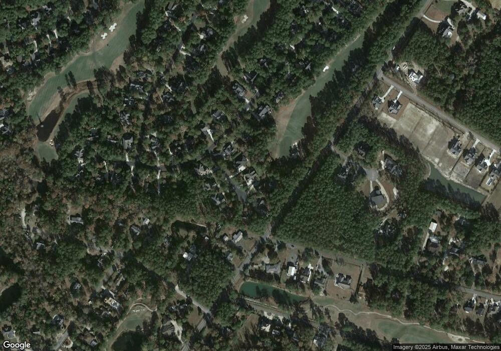
Map
Nearby Homes
- 1153 Heritage Dr
- 1575 Heritage Dr
- Lot 1-A Brace Dr
- 1176 Heritage Dr
- 23 Gleneagle Ln
- 634 Hagley Dr
- 146 Berwick Dr Unit Heritage Plantation
- 155 Hill Dr
- 761 Hagley Dr
- 182 Berwick Dr
- 121 Half Moon Trail
- 82 Snow Ln
- 444 Dornoch Dr
- 1058 Doral Dr
- 1 Brace Dr
- 1050 Hagley Dr Unit Hagley
- 1016 Hagley Dr
- 117 Blackwood Trail
- 96 Birdfield Ln
- 142 Blackwood Trail
- 57 Carnoustie Ct Unit Heritage Plantation
- 37 Carnoustie Ct Unit Heritage Plantation
- 37 Carnoustie Ct
- 77 Carnoustie Ct
- Lot 87 Carnoustie Ct
- 87 Carnoustie Ct
- 93 Carnoustie Ct Unit Heritage Plantation
- 93 Carnoustie Ct
- 15 Carnoutsie
- 15 Carnoustie Ct Unit Heritage Plantation
- 15 Carnoustie Ct
- 301 Muirfield Dr
- 90 Carnoustie Ct
- 60 Carnoustie Ct
- 38 Carnoustie Ct Unit Heritage Plantation
- 38 Carnoustie Ct
- 76 Carnoustie Ct
- 20 Carnoustie Ct Unit Heritage Plantation
- 20 Carnoustie Ct
- 324 Muirfield Dr