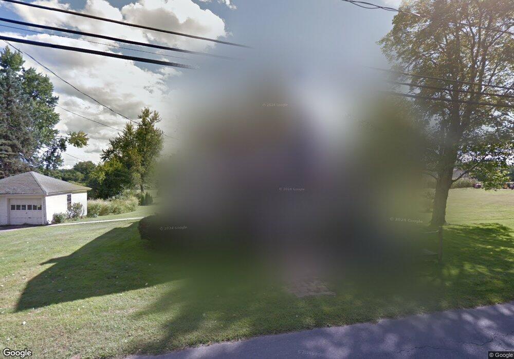
57 Chestnut St Hatfield, MA 01038
Estimated Value: $372,000 - $456,000
3
Beds
1
Bath
1,510
Sq Ft
$280/Sq Ft
Est. Value
About This Home
This home is located at 57 Chestnut St, Hatfield, MA 01038 and is currently estimated at $423,463, approximately $280 per square foot. 57 Chestnut St is a home located in Hampshire County with nearby schools including Browerville Elementary School and Brooklyn Center Middle School.
Create a Home Valuation Report for This Property
The Home Valuation Report is an in-depth analysis detailing your home's value as well as a comparison with similar homes in the area
Home Values in the Area
Average Home Value in this Area
Tax History Compared to Growth
Tax History
| Year | Tax Paid | Tax Assessment Tax Assessment Total Assessment is a certain percentage of the fair market value that is determined by local assessors to be the total taxable value of land and additions on the property. | Land | Improvement |
|---|---|---|---|---|
| 2025 | $5,240 | $378,600 | $172,800 | $205,800 |
| 2024 | $4,991 | $326,000 | $151,300 | $174,700 |
| 2023 | $4,159 | $308,500 | $143,300 | $165,200 |
| 2022 | $3,953 | $289,200 | $136,600 | $152,600 |
| 2021 | $3,872 | $272,900 | $125,300 | $147,600 |
| 2020 | $3,692 | $272,900 | $125,300 | $147,600 |
| 2019 | $3,589 | $258,400 | $129,100 | $129,300 |
| 2018 | $3,494 | $257,300 | $129,000 | $128,300 |
| 2017 | $3,350 | $253,400 | $129,000 | $124,400 |
| 2016 | $3,323 | $252,100 | $129,000 | $123,100 |
| 2015 | $3,099 | $235,300 | $116,500 | $118,800 |
| 2014 | $2,981 | $235,300 | $116,500 | $118,800 |
Source: Public Records
Map
Nearby Homes
- 34 Gore Ave
- 18 Elm St
- 0 Straits Rd
- 121 West St
- 58 Main St Unit 4
- 58 Main St Unit 3
- 21 Dwight St
- 2B Linseed Rd
- 12 Dwight St
- 136 Main St
- 0 Pantry Rd Unit 73430264
- 43 Laurel Park Unit 43
- 66 Laurel Park Unit 66
- 93 Laurel Park Unit 93
- 182 Old Stage Rd
- 16 Rocky Hill Rd
- 32 Stonewall Dr
- 11 West St
- 0 N Branch Rd
- 147 Pantry Rd