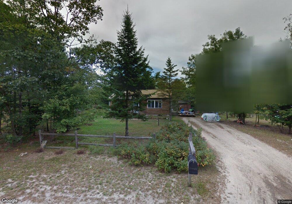
57 Circle Dr Cornish, ME 04020
Estimated Value: $240,347 - $337,000
2
Beds
1
Bath
864
Sq Ft
$316/Sq Ft
Est. Value
About This Home
This home is located at 57 Circle Dr, Cornish, ME 04020 and is currently estimated at $272,837, approximately $315 per square foot. 57 Circle Dr is a home located in York County.
Create a Home Valuation Report for This Property
The Home Valuation Report is an in-depth analysis detailing your home's value as well as a comparison with similar homes in the area
Home Values in the Area
Average Home Value in this Area
Tax History
| Year | Tax Paid | Tax Assessment Tax Assessment Total Assessment is a certain percentage of the fair market value that is determined by local assessors to be the total taxable value of land and additions on the property. | Land | Improvement |
|---|---|---|---|---|
| 2025 | $1,307 | $138,300 | $56,600 | $81,700 |
| 2024 | $1,627 | $176,800 | $42,400 | $134,400 |
| 2023 | $1,972 | $137,900 | $30,500 | $107,400 |
| 2022 | $1,903 | $137,900 | $30,500 | $107,400 |
| 2021 | $1,862 | $137,900 | $30,500 | $107,400 |
| 2020 | $1,806 | $134,800 | $30,500 | $104,300 |
| 2019 | $3,186 | $134,800 | $30,500 | $104,300 |
| 2018 | $1,820 | $134,800 | $30,500 | $104,300 |
| 2016 | $1,738 | $134,800 | $30,500 | $104,300 |
| 2015 | $1,739 | $134,800 | $30,500 | $104,300 |
| 2014 | $1,428 | $110,700 | $30,500 | $80,200 |
Source: Public Records
Map
Nearby Homes
- 6-13 Main St
- Lot #4 Jordan Heights Rd
- Lot #3 Jordan Heights Rd
- Lot #2 Jordan Heights Rd
- Lot #8 Jordan Heights Rd
- 4 Bridge St
- 20 Main St
- 96 Maple St
- 174 Marston Rd
- 198 Senator Black Rd
- 50AC Sawyer Mountain Rd
- 992 Pequawket Trail
- TBD Sokokis Trail N
- 8 Mikes Way
- 60 Christian Hill Rd
- 490 S Hiram Rd
- 0 Durgintown Rd
- 99 July St
- 1024 Cape Rd
- TBD lot 4 Hanscomb School Rd
Your Personal Tour Guide
Ask me questions while you tour the home.