57 Clipper Point Rd Mystic, CT 06355
Old Mystic NeighborhoodEstimated Value: $1,745,539 - $2,242,000
5
Beds
4
Baths
3,903
Sq Ft
$509/Sq Ft
Est. Value
About This Home
This home is located at 57 Clipper Point Rd, Mystic, CT 06355 and is currently estimated at $1,986,513, approximately $508 per square foot. 57 Clipper Point Rd is a home with nearby schools including Stonington Middle School and Stonington High School.
Ownership History
Date
Name
Owned For
Owner Type
Purchase Details
Closed on
Nov 4, 2019
Sold by
Williams Patricia A
Bought by
Lewis Stacy and Chadwell Gerrod
Current Estimated Value
Purchase Details
Closed on
Aug 22, 1997
Sold by
Stratton Nancy Lee
Bought by
Williams Edward P and Williams Patricia A
Create a Home Valuation Report for This Property
The Home Valuation Report is an in-depth analysis detailing your home's value as well as a comparison with similar homes in the area
Home Values in the Area
Average Home Value in this Area
Purchase History
| Date | Buyer | Sale Price | Title Company |
|---|---|---|---|
| Lewis Stacy | $1,125,000 | -- | |
| Lewis Stacy | $1,125,000 | -- | |
| Williams Edward P | $610,000 | -- | |
| Williams Edward P | $610,000 | -- |
Source: Public Records
Mortgage History
| Date | Status | Borrower | Loan Amount |
|---|---|---|---|
| Previous Owner | Williams Edward P | $125,000 | |
| Previous Owner | Williams Edward P | $325,000 | |
| Previous Owner | Williams Edward P | $250,000 | |
| Previous Owner | Williams Edward P | $395,000 |
Source: Public Records
Tax History Compared to Growth
Tax History
| Year | Tax Paid | Tax Assessment Tax Assessment Total Assessment is a certain percentage of the fair market value that is determined by local assessors to be the total taxable value of land and additions on the property. | Land | Improvement |
|---|---|---|---|---|
| 2025 | $19,820 | $958,400 | $499,300 | $459,100 |
| 2024 | $19,120 | $958,400 | $499,300 | $459,100 |
| 2023 | $19,288 | $971,700 | $499,300 | $472,400 |
| 2022 | $25,024 | $949,300 | $538,000 | $411,300 |
| 2021 | $24,650 | $921,500 | $538,000 | $383,500 |
| 2020 | $23,143 | $881,300 | $538,000 | $343,300 |
| 2019 | $23,143 | $881,300 | $538,000 | $343,300 |
| 2018 | $22,544 | $881,300 | $538,000 | $343,300 |
| 2017 | $22,168 | $854,900 | $538,000 | $316,900 |
| 2016 | $21,595 | $854,900 | $538,000 | $316,900 |
| 2015 | $20,706 | $854,900 | $538,000 | $316,900 |
| 2014 | $19,859 | $854,900 | $538,000 | $316,900 |
Source: Public Records
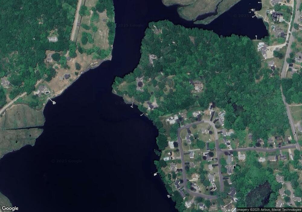
Map
Nearby Homes
- 40 Riverbend Dr
- 3 Whitehall Pond Unit 3
- 86 Fair Acres Cir
- 79 Fair Acres Cir
- 1198 River Rd
- 50 Benjamin Stanton Pentway
- 1346 Pequot Trail
- 17 Lamphere Rd
- 116 Indigo St
- 308 Shewville Rd
- 115 Lamphere Rd
- 2590 Gold Star Hwy Unit 210
- 314 Shewville Rd
- 10 Pleasant St
- 28 Rossie St
- 1189 Pequot Trail
- 38 Rossie St
- 435 High St Unit 31
- 435 High St Unit 30
- 435 High St Unit 58
- 57 Clipper Point Rd
- 61 Clipper Point Rd
- 26 Riverbend Dr
- 61 Clipper Point Rd
- 24 Riverbend Dr
- 22 Riverbend Dr
- 29 Riverbend Dr
- 54 Clipper Point Rd
- 43 Clipper Point Rd
- 19 Riverbend Dr
- 34 Riverbend Dr
- 15 Riverbend Dr
- 34 Riverbend Dr
- 18 Riverbend Dr
- 33 Riverbend Dr
- 1 Riverbend Dr
- 6 Riverbend Dr
- 55 Riverbend Dr
- 14 Riverbend Dr
- 34 Clipper Point Rd