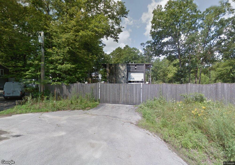
57 Davis Ave Wrentham, MA 02093
Estimated Value: $772,000 - $839,000
--
Bed
--
Bath
3,040
Sq Ft
$265/Sq Ft
Est. Value
About This Home
This home is located at 57 Davis Ave, Wrentham, MA 02093 and is currently estimated at $805,500, approximately $264 per square foot. 57 Davis Ave is a home with nearby schools including Delaney Elementary School, Charles E Roderick, and The Sage School.
Ownership History
Date
Name
Owned For
Owner Type
Purchase Details
Closed on
Aug 25, 2021
Sold by
Bezema Judith A
Bought by
Bezema 70 Rt
Current Estimated Value
Purchase Details
Closed on
Sep 1, 1982
Bought by
Maeristen Rt
Create a Home Valuation Report for This Property
The Home Valuation Report is an in-depth analysis detailing your home's value as well as a comparison with similar homes in the area
Home Values in the Area
Average Home Value in this Area
Purchase History
| Date | Buyer | Sale Price | Title Company |
|---|---|---|---|
| Bezema 70 Rt | -- | None Available | |
| Maeristen Rt | -- | -- |
Source: Public Records
Tax History Compared to Growth
Tax History
| Year | Tax Paid | Tax Assessment Tax Assessment Total Assessment is a certain percentage of the fair market value that is determined by local assessors to be the total taxable value of land and additions on the property. | Land | Improvement |
|---|---|---|---|---|
| 2025 | $3,616 | $312,000 | $252,100 | $59,900 |
| 2024 | $3,744 | $312,000 | $252,100 | $59,900 |
| 2023 | $3,648 | $289,100 | $229,200 | $59,900 |
| 2022 | $3,938 | $288,100 | $223,000 | $65,100 |
| 2021 | $3,848 | $273,500 | $208,400 | $65,100 |
| 2020 | $3,181 | $223,200 | $159,100 | $64,100 |
| 2019 | $3,152 | $223,200 | $159,100 | $64,100 |
| 2018 | $3,663 | $257,200 | $159,300 | $97,900 |
| 2017 | $3,597 | $252,400 | $156,200 | $96,200 |
| 2016 | $3,513 | $246,000 | $151,700 | $94,300 |
| 2015 | $3,573 | $238,500 | $145,800 | $92,700 |
| 2014 | $3,538 | $231,100 | $140,200 | $90,900 |
Source: Public Records
Map
Nearby Homes
- 65 Pond St
- 362 East St
- 483 Thurston St
- 120 Hawes St
- 1 Lorraine Metcalf Dr
- 270 Dedham St
- 319 Taunton St
- 10 Nature View Dr
- 15 Nature View Dr
- 25 Foxboro Rd
- 11 Goodwin Dr
- 11 Earle Stewart Ln
- 80 Mill St
- 131 Creek St Unit 7
- Lot 1 - Blueberry 2 Car Plan at King Philip Estates
- Lot 8 - Blueberry 2 Car Plan at King Philip Estates
- Lot 6 - Blueberry 3 Car Plan at King Philip Estates
- Lot 2 - Camden 2 Car Plan at King Philip Estates
- Lot 7 - Cedar Plan at King Philip Estates
- Lot 4 - Hemingway 2 Car Plan at King Philip Estates