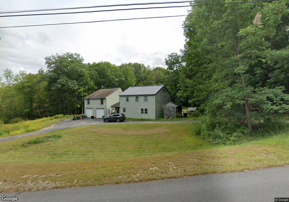
57 Day Rd Gorham, ME 04038
Estimated Value: $490,000 - $652,000
3
Beds
1
Bath
2,040
Sq Ft
$271/Sq Ft
Est. Value
About This Home
This home is located at 57 Day Rd, Gorham, ME 04038 and is currently estimated at $551,971, approximately $270 per square foot. 57 Day Rd is a home with nearby schools including Village Elementary School, Gorham Middle School, and Gorham High School.
Create a Home Valuation Report for This Property
The Home Valuation Report is an in-depth analysis detailing your home's value as well as a comparison with similar homes in the area
Home Values in the Area
Average Home Value in this Area
Tax History
| Year | Tax Paid | Tax Assessment Tax Assessment Total Assessment is a certain percentage of the fair market value that is determined by local assessors to be the total taxable value of land and additions on the property. | Land | Improvement |
|---|---|---|---|---|
| 2024 | $4,863 | $330,800 | $126,900 | $203,900 |
| 2023 | $4,549 | $330,800 | $126,900 | $203,900 |
| 2022 | $4,251 | $330,800 | $126,900 | $203,900 |
| 2021 | $3,583 | $184,700 | $91,200 | $93,500 |
| 2020 | $3,509 | $184,700 | $91,200 | $93,500 |
| 2019 | $3,500 | $184,700 | $91,200 | $93,500 |
| 2018 | $3,362 | $184,700 | $91,200 | $93,500 |
| 2017 | $3,158 | $184,700 | $91,200 | $93,500 |
| 2016 | $3,143 | $184,900 | $91,400 | $93,500 |
| 2015 | $3,014 | $184,900 | $91,400 | $93,500 |
| 2014 | $2,975 | $171,000 | $83,600 | $87,400 |
| 2013 | $2,958 | $171,000 | $83,600 | $87,400 |
Source: Public Records
Map
Nearby Homes
- Lot 3A Day Rd
- 24 Day Rd
- 93 Day Rd
- 282 South St
- 17 Lochwood Dr
- Unit 13 Fairway Commons Dr Unit 13
- 25 Fairway Commons Dr Unit 7
- 30 Fairway Commons Dr Unit 10
- 20 Fairway Commons Dr Unit 2
- 13 Lochwood Dr
- TBD Lochwood Dr
- 49 Lochwood Dr
- 91 South St
- 25 Patio Park Ln
- 52 Morrill Ave
- 11 Dragonfly Ln
- 50 Johnson Rd
- 52 Hogan Cir Unit 1
- 22 Gateway Commons Dr
- 204 Wickham Way Unit Lot 204
Your Personal Tour Guide
Ask me questions while you tour the home.