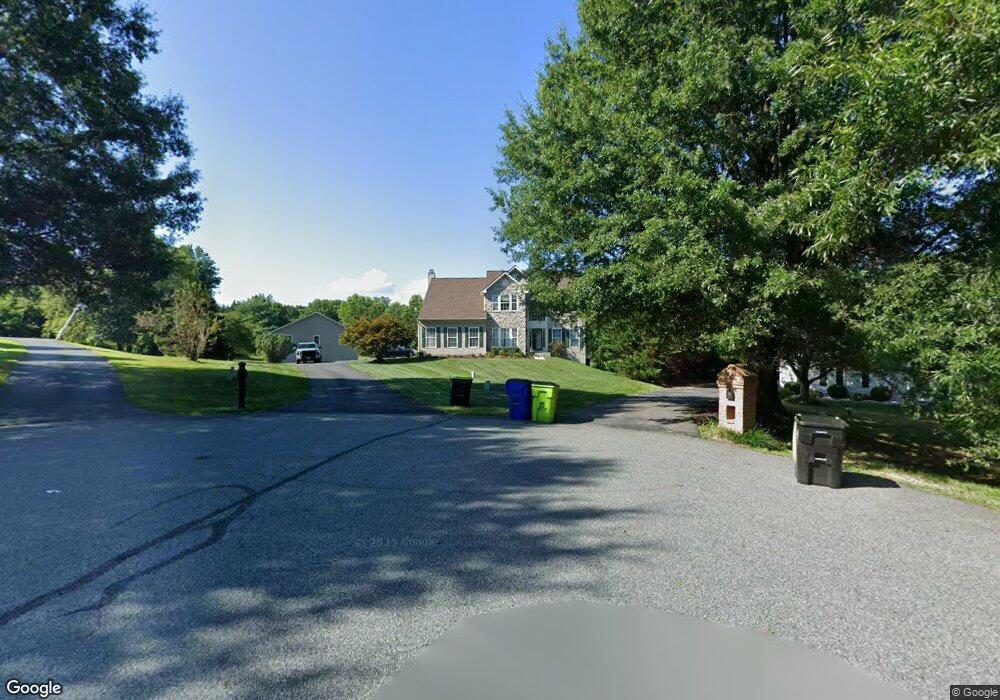
57 Devon Dr Port Deposit, MD 21904
Estimated Value: $554,814 - $635,000
Studio
3
Baths
2,572
Sq Ft
$231/Sq Ft
Est. Value
About This Home
This home is located at 57 Devon Dr, Port Deposit, MD 21904 and is currently estimated at $594,704, approximately $231 per square foot. 57 Devon Dr is a home located in Cecil County with nearby schools including Conowingo Elementary School, Perryville Middle School, and Perryville High School.
Ownership History
Date
Name
Owned For
Owner Type
Purchase Details
Closed on
Nov 2, 1999
Sold by
Montgomery Gemcraft Homes Inc
Bought by
Alberding Scott E and Nagle Margaret E
Current Estimated Value
Purchase Details
Closed on
Jul 21, 1999
Sold by
Hall Arthur D
Bought by
Montgomery Gemcraft Homes Inc
Create a Home Valuation Report for This Property
The Home Valuation Report is an in-depth analysis detailing your home's value as well as a comparison with similar homes in the area
Home Values in the Area
Average Home Value in this Area
Purchase History
| Date | Buyer | Sale Price | Title Company |
|---|---|---|---|
| Alberding Scott E | $240,819 | -- | |
| Montgomery Gemcraft Homes Inc | $47,000 | -- |
Source: Public Records
Mortgage History
| Date | Status | Borrower | Loan Amount |
|---|---|---|---|
| Closed | Alberding Scott E | -- |
Source: Public Records
Tax History
| Year | Tax Paid | Tax Assessment Tax Assessment Total Assessment is a certain percentage of the fair market value that is determined by local assessors to be the total taxable value of land and additions on the property. | Land | Improvement |
|---|---|---|---|---|
| 2025 | $4,243 | $481,700 | $0 | $0 |
| 2024 | $3,713 | $448,800 | $0 | $0 |
| 2023 | $3,217 | $415,900 | $108,600 | $307,300 |
| 2022 | $3,817 | $378,867 | $0 | $0 |
| 2021 | $3,740 | $341,833 | $0 | $0 |
| 2020 | $3,576 | $304,800 | $108,600 | $196,200 |
| 2019 | $3,575 | $304,800 | $108,600 | $196,200 |
| 2018 | $3,576 | $304,800 | $108,600 | $196,200 |
| 2017 | $3,648 | $311,100 | $0 | $0 |
| 2016 | $3,418 | $307,800 | $0 | $0 |
| 2015 | $3,418 | $304,500 | $0 | $0 |
| 2014 | $3,762 | $301,200 | $0 | $0 |
Source: Public Records
Map
Nearby Homes
- 23 Harford View Dr
- 38 Groff Farm Ln
- 145 Honeysuckle Dr
- 1500 Doctor Jack Rd
- 236 N Main St
- 91 Honeysuckle Dr
- 84 Clematis Way
- 0 Liberty Grove Rd Unit MDCC2015324
- 39 N Friendship Ct
- 111 N Main St
- 118 Rowland Dr
- TBD Rowland Dr
- 106 Rowland Dr
- 4 Brenda St
- 2 Brenda St
- TBD Pine Needle Ct
- 5 Denise St
- 21 High St
- 236 Doctor Jack Rd
- lot 2 White Spruce Way
Your Personal Tour Guide
Ask me questions while you tour the home.