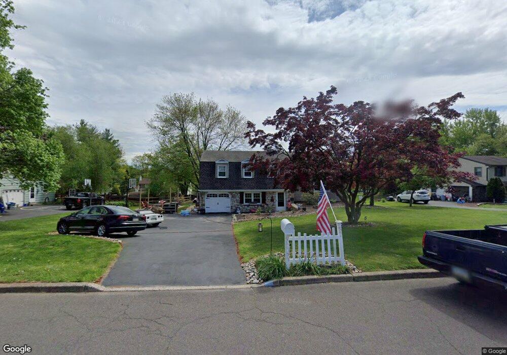
57 E Robin Rd Southampton, PA 18966
Estimated Value: $600,000 - $696,000
3
Beds
3
Baths
1,905
Sq Ft
$329/Sq Ft
Est. Value
About This Home
This home is located at 57 E Robin Rd, Southampton, PA 18966 and is currently estimated at $626,243, approximately $328 per square foot. 57 E Robin Rd is a home located in Bucks County with nearby schools including Churchville Elementary School, Holland Middle School, and Council Rock High School - South.
Ownership History
Date
Name
Owned For
Owner Type
Purchase Details
Closed on
Jun 25, 1999
Sold by
Lasalvia Frank J and Lasalvia Joan K
Bought by
Bauerle Frank C and Bauerle Kerry M
Current Estimated Value
Home Financials for this Owner
Home Financials are based on the most recent Mortgage that was taken out on this home.
Original Mortgage
$172,000
Outstanding Balance
$45,886
Interest Rate
7.19%
Estimated Equity
$580,357
Purchase Details
Closed on
Nov 5, 1970
Bought by
Lasalvia Frank J and Lasalvia Joan K
Create a Home Valuation Report for This Property
The Home Valuation Report is an in-depth analysis detailing your home's value as well as a comparison with similar homes in the area
Home Values in the Area
Average Home Value in this Area
Purchase History
| Date | Buyer | Sale Price | Title Company |
|---|---|---|---|
| Bauerle Frank C | $215,000 | -- | |
| Lasalvia Frank J | -- | -- |
Source: Public Records
Mortgage History
| Date | Status | Borrower | Loan Amount |
|---|---|---|---|
| Open | Bauerle Frank C | $172,000 |
Source: Public Records
Tax History Compared to Growth
Tax History
| Year | Tax Paid | Tax Assessment Tax Assessment Total Assessment is a certain percentage of the fair market value that is determined by local assessors to be the total taxable value of land and additions on the property. | Land | Improvement |
|---|---|---|---|---|
| 2025 | $6,318 | $32,800 | $6,520 | $26,280 |
| 2024 | $6,318 | $32,800 | $6,520 | $26,280 |
| 2023 | $5,954 | $32,800 | $6,520 | $26,280 |
| 2022 | $5,900 | $32,800 | $6,520 | $26,280 |
| 2021 | $5,713 | $32,800 | $6,520 | $26,280 |
| 2020 | $5,585 | $32,800 | $6,520 | $26,280 |
| 2019 | $5,345 | $32,800 | $6,520 | $26,280 |
| 2018 | $5,250 | $32,800 | $6,520 | $26,280 |
| 2017 | $5,048 | $32,800 | $6,520 | $26,280 |
| 2016 | $5,048 | $32,800 | $6,520 | $26,280 |
| 2015 | -- | $32,800 | $6,520 | $26,280 |
| 2014 | -- | $32,800 | $6,520 | $26,280 |
Source: Public Records
Map
Nearby Homes
- 63 Serene Dr
- 71 Covey Ln
- 98 Twigkenham Dr
- 21 Joanne Rd
- 134 Nottingham Dr
- 14 Chapel Dr
- 72 E Heron Rd
- 21 Van Horn Place
- 44 Shady Lawn Dr
- 28 Peter Dr
- 180 Independence Dr
- 534 Holly Knoll Dr
- 501 Potters Ct
- 270 Rocksville Rd
- 36 Hickory Dr
- 102 Keenan Ln
- 66 Nathaniel Rd
- 460 Rocksville Rd
- 161 New Rd
- 195 Harriet Rd