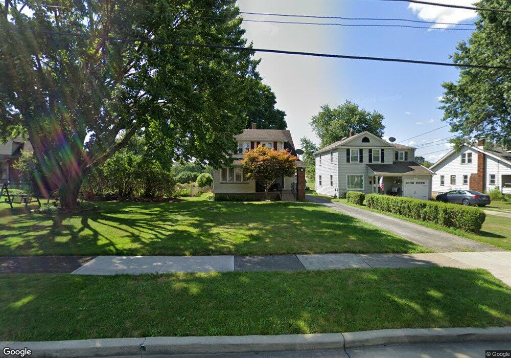
57 Erskine Ave Youngstown, OH 44512
Estimated Value: $116,020 - $154,000
3
Beds
2
Baths
1,478
Sq Ft
$90/Sq Ft
Est. Value
About This Home
This home is located at 57 Erskine Ave, Youngstown, OH 44512 and is currently estimated at $132,505, approximately $89 per square foot. 57 Erskine Ave is a home located in Mahoning County with nearby schools including Boardman Glenwood Junior High School, Boardman High School, and Horizon Science Academy - Youngstown.
Ownership History
Date
Name
Owned For
Owner Type
Purchase Details
Closed on
Oct 14, 2015
Sold by
Finamore Patrick V
Bought by
Al Bdour Omar Y and Imashat Bayan A
Current Estimated Value
Purchase Details
Closed on
Apr 1, 2006
Sold by
Perry Lucy and Finamore Lucy
Bought by
Finamore Patrick
Purchase Details
Closed on
Sep 6, 1967
Bought by
Finamore Lucy
Create a Home Valuation Report for This Property
The Home Valuation Report is an in-depth analysis detailing your home's value as well as a comparison with similar homes in the area
Home Values in the Area
Average Home Value in this Area
Purchase History
| Date | Buyer | Sale Price | Title Company |
|---|---|---|---|
| Al Bdour Omar Y | $46,500 | Attorney | |
| Finamore Patrick | -- | Safeguard Title Agency | |
| Finamore Lucy | -- | -- |
Source: Public Records
Tax History Compared to Growth
Tax History
| Year | Tax Paid | Tax Assessment Tax Assessment Total Assessment is a certain percentage of the fair market value that is determined by local assessors to be the total taxable value of land and additions on the property. | Land | Improvement |
|---|---|---|---|---|
| 2024 | $1,469 | $28,960 | $3,050 | $25,910 |
| 2023 | $1,449 | $28,960 | $3,050 | $25,910 |
| 2022 | $1,110 | $16,900 | $3,020 | $13,880 |
| 2021 | $1,111 | $16,900 | $3,020 | $13,880 |
| 2020 | $1,117 | $16,900 | $3,020 | $13,880 |
| 2019 | $1,113 | $14,960 | $2,670 | $12,290 |
| 2018 | $952 | $14,960 | $2,670 | $12,290 |
| 2017 | $949 | $14,960 | $2,670 | $12,290 |
| 2016 | $1,190 | $18,590 | $2,900 | $15,690 |
| 2015 | $1,166 | $18,590 | $2,900 | $15,690 |
| 2014 | $1,170 | $18,590 | $2,900 | $15,690 |
| 2013 | $1,155 | $18,590 | $2,900 | $15,690 |
Source: Public Records
Map
Nearby Homes
- 81 Melrose Ave
- 127 Melrose Ave
- 44 Gertrude Ave
- 149 Argyle Ave
- 167 Afton Ave
- 175 Homestead Dr
- 28 Terrace Dr
- 169 Wolcott Dr
- 197 Mathews Rd Unit B
- 0 Mathews Rd Unit 5038026
- 83 Beechwood Dr
- 148 Clifton Dr
- 94 Beechwood Dr
- 235 Wolcott Dr
- 60 Shadyside Dr
- 94 Shadyside Dr
- 6001 Applecrest Dr
- 5020 Friendship Ave
- 272 Shields Rd
- 4508 Southern Blvd