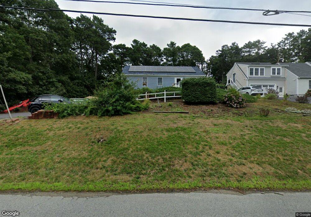
57 Falmouth Sandwich Rd Mashpee, MA 02649
Estimated Value: $585,000 - $626,000
2
Beds
2
Baths
1,280
Sq Ft
$476/Sq Ft
Est. Value
About This Home
This home is located at 57 Falmouth Sandwich Rd, Mashpee, MA 02649 and is currently estimated at $608,976, approximately $475 per square foot. 57 Falmouth Sandwich Rd is a home located in Barnstable County with nearby schools including Kenneth C. Coombs School, Quashnet School, and Mashpee Middle School.
Ownership History
Date
Name
Owned For
Owner Type
Purchase Details
Closed on
Dec 22, 2005
Sold by
Laforest Lilias and Lewey Lilias
Bought by
Metell Julie R
Current Estimated Value
Home Financials for this Owner
Home Financials are based on the most recent Mortgage that was taken out on this home.
Original Mortgage
$90,000
Outstanding Balance
$50,565
Interest Rate
6.36%
Mortgage Type
Purchase Money Mortgage
Estimated Equity
$558,411
Purchase Details
Closed on
Dec 30, 1997
Sold by
Gray Richard A
Bought by
Laforest Norman and Lewey Lilias
Home Financials for this Owner
Home Financials are based on the most recent Mortgage that was taken out on this home.
Original Mortgage
$14,500
Interest Rate
7.15%
Mortgage Type
Purchase Money Mortgage
Create a Home Valuation Report for This Property
The Home Valuation Report is an in-depth analysis detailing your home's value as well as a comparison with similar homes in the area
Home Values in the Area
Average Home Value in this Area
Purchase History
| Date | Buyer | Sale Price | Title Company |
|---|---|---|---|
| Metell Julie R | $309,000 | -- | |
| Laforest Norman | $19,500 | -- |
Source: Public Records
Mortgage History
| Date | Status | Borrower | Loan Amount |
|---|---|---|---|
| Open | Metell Julie R | $90,000 | |
| Previous Owner | Laforest Norman | $14,500 |
Source: Public Records
Tax History Compared to Growth
Tax History
| Year | Tax Paid | Tax Assessment Tax Assessment Total Assessment is a certain percentage of the fair market value that is determined by local assessors to be the total taxable value of land and additions on the property. | Land | Improvement |
|---|---|---|---|---|
| 2025 | $3,470 | $524,200 | $205,300 | $318,900 |
| 2024 | $3,190 | $496,100 | $186,600 | $309,500 |
| 2023 | $3,025 | $431,500 | $177,700 | $253,800 |
| 2022 | $2,896 | $354,500 | $144,500 | $210,000 |
| 2021 | $2,770 | $305,400 | $130,200 | $175,200 |
| 2020 | $2,690 | $295,900 | $125,200 | $170,700 |
| 2019 | $2,584 | $285,500 | $125,200 | $160,300 |
| 2018 | $6,303 | $263,900 | $125,200 | $138,700 |
| 2017 | $7,958 | $250,800 | $125,200 | $125,600 |
| 2016 | $2,248 | $243,300 | $125,200 | $118,100 |
| 2015 | $2,170 | $238,200 | $125,200 | $113,000 |
| 2014 | $2,055 | $218,800 | $106,100 | $112,700 |
Source: Public Records
Map
Nearby Homes
- 57 Falmouth-Sandwich Rd
- 75 Falmouth-Sandwich Rd
- 53 Falmouth-Sandwich Rd
- 61 Falmouth Sandwich Rd
- 53 Falmouth Sandwich Rd
- 100 Horseshoe Bend Way
- 92 Horseshoe Bend Way
- 47 Falmouth-Sandwich Rd
- 47 Falmouth Sandwich Rd
- 86 Horseshoe Bend Way
- 55 Tri Town Cir
- 49 Tri Town Cir
- 87 Horseshoe Bend Way
- 75 Falmouth Sandwich Rd
- 99 Horseshoe Bend Way
- 78 Horseshoe Bend Way
- 43 Tri-Town Cir
- 56 Tri Town Cir
- 93 Horseshoe Bend Way