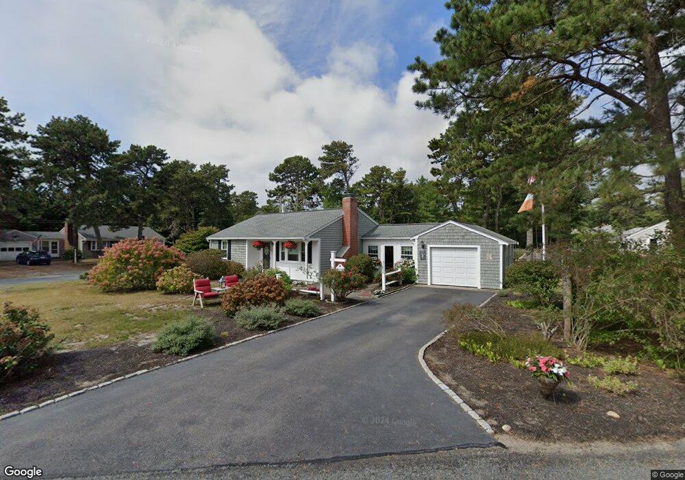
57 Haywood Ave South Yarmouth, MA 02664
Estimated Value: $518,339 - $559,000
2
Beds
1
Bath
870
Sq Ft
$613/Sq Ft
Est. Value
About This Home
This home is located at 57 Haywood Ave, South Yarmouth, MA 02664 and is currently estimated at $533,585, approximately $613 per square foot. 57 Haywood Ave is a home located in Barnstable County with nearby schools including Dennis-Yarmouth Regional High School and St. Pius X. School.
Ownership History
Date
Name
Owned For
Owner Type
Purchase Details
Closed on
Jun 7, 2001
Sold by
Johnson Barry M and Johnson Ann Marie
Bought by
Kelley Thomas J and Kelley Maureen A
Current Estimated Value
Home Financials for this Owner
Home Financials are based on the most recent Mortgage that was taken out on this home.
Original Mortgage
$103,500
Interest Rate
7.14%
Purchase Details
Closed on
Nov 20, 1992
Sold by
Serafino Carol N and Mcleish Joanne H
Bought by
Kelley Thomas J and Kelley Maureen A
Home Financials for this Owner
Home Financials are based on the most recent Mortgage that was taken out on this home.
Original Mortgage
$85,500
Interest Rate
7.95%
Mortgage Type
Purchase Money Mortgage
Create a Home Valuation Report for This Property
The Home Valuation Report is an in-depth analysis detailing your home's value as well as a comparison with similar homes in the area
Home Values in the Area
Average Home Value in this Area
Purchase History
| Date | Buyer | Sale Price | Title Company |
|---|---|---|---|
| Kelley Thomas J | $35,000 | -- | |
| Kelley Thomas J | $95,000 | -- |
Source: Public Records
Mortgage History
| Date | Status | Borrower | Loan Amount |
|---|---|---|---|
| Open | Kelley Thomas J | $126,000 | |
| Closed | Kelley Thomas J | $103,500 | |
| Previous Owner | Kelley Thomas J | $85,500 |
Source: Public Records
Tax History Compared to Growth
Tax History
| Year | Tax Paid | Tax Assessment Tax Assessment Total Assessment is a certain percentage of the fair market value that is determined by local assessors to be the total taxable value of land and additions on the property. | Land | Improvement |
|---|---|---|---|---|
| 2025 | $3,361 | $474,700 | $178,200 | $296,500 |
| 2024 | $3,120 | $422,800 | $150,700 | $272,100 |
| 2023 | $3,010 | $371,200 | $130,400 | $240,800 |
| 2022 | $2,842 | $309,600 | $118,600 | $191,000 |
| 2021 | $2,677 | $280,000 | $118,600 | $161,400 |
| 2020 | $2,623 | $262,300 | $118,600 | $143,700 |
| 2019 | $5,555 | $229,900 | $118,600 | $111,300 |
| 2018 | $2,185 | $212,300 | $101,000 | $111,300 |
| 2017 | $4,951 | $207,900 | $96,600 | $111,300 |
| 2016 | $1,987 | $199,100 | $87,800 | $111,300 |
| 2015 | $1,888 | $188,000 | $87,800 | $100,200 |
Source: Public Records
Map
Nearby Homes
- 0 Forsyth Ave
- 33 Sparrow Way
- 6 Billingsgate Rd
- 176 Beacon St
- 97 Astor Way
- 76 Captain Chase Rd
- 97 Captain Bacon Rd
- 140 Diane Ave
- 30 Quartermaster Row
- 72 Quartermaster Row
- 147 Captain Bacon Rd
- 16 Warren Rd Unit 16
- 16 Warren Rd
- 4 Raymond Ave
- 35 Captain Percival Rd
- 1 Winsome Rd
- 38 N Dennis Rd
- 37 Winsome Rd
- 7 Sunset Pines Rd
- 338 Forest Rd
- 7 NE Harvard
- 12 Harvard St
- 47 Browning Ave
- 7 Harvard St
- 58 Haywood Ave
- 49 Haywood Ave
- 64 Haywood Ave
- 54 Haywood Ave
- 13 Harvard St
- 16 Harvard St
- 41 Browning Ave
- 16 Nightingale Dr
- 12 Nightingale Dr
- 48 Haywood Ave
- 52 Browning Ave
- 22 Nightingale Dr
- 6 Nightingale Dr
- 48 Browning Ave
- 19 Harvard St
- 22 Harvard St