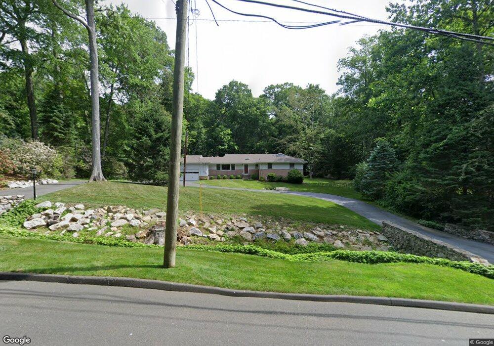
57 Laurel Ledge Rd Stamford, CT 06903
North Stamford NeighborhoodEstimated Value: $1,117,052 - $1,335,000
4
Beds
4
Baths
3,640
Sq Ft
$344/Sq Ft
Est. Value
About This Home
This home is located at 57 Laurel Ledge Rd, Stamford, CT 06903 and is currently estimated at $1,253,763, approximately $344 per square foot. 57 Laurel Ledge Rd is a home located in Fairfield County with nearby schools including Roxbury School, Cloonan School, and Westhill High School.
Ownership History
Date
Name
Owned For
Owner Type
Purchase Details
Closed on
Nov 29, 1994
Sold by
Nardone Silverio and Nardone Penny
Bought by
Derosa Andrew M and Rich Karen M
Current Estimated Value
Home Financials for this Owner
Home Financials are based on the most recent Mortgage that was taken out on this home.
Original Mortgage
$360,000
Interest Rate
4.63%
Mortgage Type
Unknown
Purchase Details
Closed on
Oct 26, 1987
Sold by
Bargebuhr Lawrence
Bought by
Nardone Silverio
Home Financials for this Owner
Home Financials are based on the most recent Mortgage that was taken out on this home.
Original Mortgage
$300,000
Interest Rate
10.92%
Create a Home Valuation Report for This Property
The Home Valuation Report is an in-depth analysis detailing your home's value as well as a comparison with similar homes in the area
Home Values in the Area
Average Home Value in this Area
Purchase History
| Date | Buyer | Sale Price | Title Company |
|---|---|---|---|
| Derosa Andrew M | $407,550 | -- | |
| Nardone Silverio | $420,000 | -- |
Source: Public Records
Mortgage History
| Date | Status | Borrower | Loan Amount |
|---|---|---|---|
| Closed | Nardone Silverio | $100,000 | |
| Open | Nardone Silverio | $348,000 | |
| Closed | Nardone Silverio | $360,000 | |
| Previous Owner | Nardone Silverio | $300,000 |
Source: Public Records
Tax History
| Year | Tax Paid | Tax Assessment Tax Assessment Total Assessment is a certain percentage of the fair market value that is determined by local assessors to be the total taxable value of land and additions on the property. | Land | Improvement |
|---|---|---|---|---|
| 2025 | $12,881 | $553,550 | $256,530 | $297,020 |
| 2024 | $12,599 | $553,550 | $256,530 | $297,020 |
| 2023 | $13,540 | $553,550 | $256,530 | $297,020 |
| 2022 | $11,907 | $452,240 | $195,010 | $257,230 |
| 2021 | $11,745 | $452,240 | $195,010 | $257,230 |
| 2020 | $11,455 | $452,240 | $195,010 | $257,230 |
| 2019 | $11,455 | $452,240 | $195,010 | $257,230 |
| 2018 | $11,057 | $452,240 | $195,010 | $257,230 |
| 2017 | $11,779 | $460,310 | $218,710 | $241,600 |
| 2016 | $11,425 | $460,310 | $218,710 | $241,600 |
| 2015 | $11,112 | $460,310 | $218,710 | $241,600 |
| 2014 | $10,730 | $460,310 | $218,710 | $241,600 |
Source: Public Records
Map
Nearby Homes
- 5 Old Wagon Rd
- 150 Wildwood Rd
- 21 S Brook Dr
- 6 S Brook Dr
- 25 Wildwood Rd
- 40 Wildwood Rd
- Lot #21 S Brook Dr
- Lot #6 S Brook Dr
- 21 Ravenglass Dr
- 0 S Brook Dr Unit 170552650
- 202 Fox Ridge Rd
- 33 Pinnacle Rock Rd
- 71 Heming Way
- 1895 Long Ridge Rd
- 215 S Lake Dr
- 43 Ridgecrest Rd
- 251 Saddle Hill Rd
- 2856 Long Ridge Rd
- 106 E Hunting Ridge Rd
- 10 Heritage Ln
- 69 Laurel Ledge Rd
- 43 Laurel Ledge Rd
- 62 Laurel Ledge Rd
- 49 Laurel Ledge Ct
- 46 Laurel Ledge Rd
- 31 Laurel Ledge Rd
- 83 Laurel Ledge Rd
- 1510 Riverbank Rd
- 45 Laurel Ledge Ct
- 82 Laurel Ledge Rd
- 9 Round Hill Dr
- 24 Tall Oaks Rd
- 52 Laurel Ledge Ct
- 37 Round Hill Dr
- 104 Laurel Ledge Rd
- 1528 Riverbank Rd
- 37 Tall Oaks Rd
- 1534 Riverbank Rd
- 42 Tall Oaks Rd
- 7 Laurel Ledge Ct
Your Personal Tour Guide
Ask me questions while you tour the home.