57 Little Stream Ln Littleton, NH 03561
Estimated Value: $428,000 - $558,000
3
Beds
2
Baths
1,792
Sq Ft
$278/Sq Ft
Est. Value
About This Home
This home is located at 57 Little Stream Ln, Littleton, NH 03561 and is currently estimated at $499,063, approximately $278 per square foot. 57 Little Stream Ln is a home located in Grafton County with nearby schools including Mildred C. Lakeway School.
Ownership History
Date
Name
Owned For
Owner Type
Purchase Details
Closed on
Aug 5, 2003
Sold by
Mackay Kenneth J and Mackay Betty A
Bought by
Corliss David
Current Estimated Value
Home Financials for this Owner
Home Financials are based on the most recent Mortgage that was taken out on this home.
Original Mortgage
$63,700
Outstanding Balance
$27,355
Interest Rate
5.28%
Estimated Equity
$471,708
Create a Home Valuation Report for This Property
The Home Valuation Report is an in-depth analysis detailing your home's value as well as a comparison with similar homes in the area
Home Values in the Area
Average Home Value in this Area
Purchase History
| Date | Buyer | Sale Price | Title Company |
|---|---|---|---|
| Corliss David | $20,000 | -- |
Source: Public Records
Mortgage History
| Date | Status | Borrower | Loan Amount |
|---|---|---|---|
| Open | Corliss David | $63,700 |
Source: Public Records
Tax History Compared to Growth
Tax History
| Year | Tax Paid | Tax Assessment Tax Assessment Total Assessment is a certain percentage of the fair market value that is determined by local assessors to be the total taxable value of land and additions on the property. | Land | Improvement |
|---|---|---|---|---|
| 2024 | $5,749 | $230,500 | $37,400 | $193,100 |
| 2023 | $5,195 | $230,500 | $37,400 | $193,100 |
| 2022 | $5,315 | $230,500 | $37,400 | $193,100 |
| 2021 | $5,315 | $230,500 | $37,400 | $193,100 |
| 2020 | $3,955 | $230,500 | $37,400 | $193,100 |
| 2019 | $5,017 | $217,200 | $34,200 | $183,000 |
| 2018 | $5,017 | $217,200 | $34,200 | $183,000 |
| 2017 | $4,761 | $184,400 | $29,200 | $155,200 |
| 2016 | $4,778 | $184,400 | $29,200 | $155,200 |
| 2015 | $4,333 | $185,800 | $49,100 | $136,700 |
| 2014 | $4,125 | $185,800 | $49,100 | $136,700 |
| 2013 | $4,146 | $184,600 | $49,100 | $135,500 |
Source: Public Records
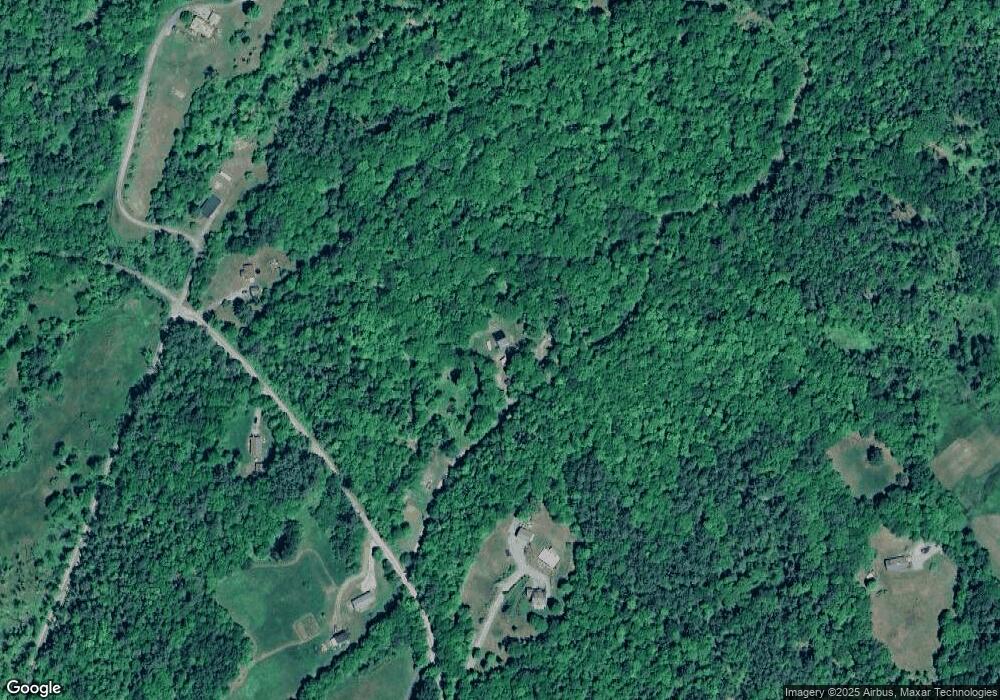
Map
Nearby Homes
- 456 Brickyard Rd
- 000 N Littleton Rd Unit 42
- 295 Old Waterford Rd
- 45 Point of View Dr
- 0 Old Waterford Rd Unit 28 5059515
- 0 Old Waterford Rd Unit 25534600
- 60-70 Meadow St
- 000 Dells Rd Unit 1
- 194 Main St
- 166 Riverside Dr
- 93 Pleasant St
- 33 Pleasant St
- 34 Union St
- 11 Richmond St
- 180 Beacon St
- 921 Old Waterford Rd
- 114 Highland Ave
- 134 Cottage St
- 14 Hilltop Manor Mobile Home Park
- 0 Sugar Wood Ln Unit 8
- 414 Fox Ridge Rd
- 280 Fox Ridge Rd
- 387 Fox Ridge Rd
- 331 Fox Ridge Rd
- 228 Fox Ridge Rd
- 418 Fox Ridge Rd
- 979 Farr Hill Rd
- 295 Fox Ridge Rd
- 226 Fox Ridge Rd
- 224 Fox Ridge Rd
- 56 Mountain View Way
- 65 Mountain View Way
- 1077 Farr Hill Rd
- 434 Fox Ridge Rd
- 1095 Farr Hill Rd
- 199 Fox Ridge Rd
- 960 Farr Hill Rd
- 940 Farr Hill Rd
- 222 Fox Ridge Rd
- 926 Farr Hill Rd