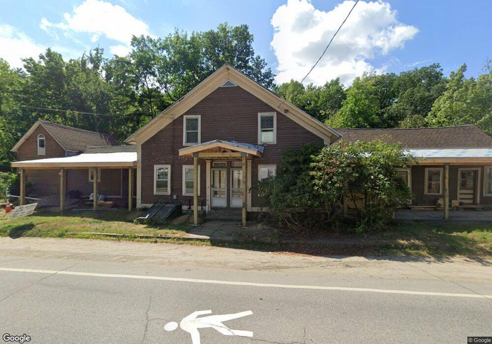
57 Main St Hinsdale, NH 03451
Estimated Value: $145,597 - $261,000
7
Beds
3
Baths
2,460
Sq Ft
$92/Sq Ft
Est. Value
About This Home
This home is located at 57 Main St, Hinsdale, NH 03451 and is currently estimated at $225,649, approximately $91 per square foot. 57 Main St is a home with nearby schools including Hinsdale Elementary School, Hinsdale Middle School, and Hinsdale High School.
Ownership History
Date
Name
Owned For
Owner Type
Purchase Details
Closed on
Aug 22, 2024
Sold by
Bean Jay R and Bean Kathy
Bought by
57 Main Street Llc
Current Estimated Value
Purchase Details
Closed on
Jun 14, 2005
Sold by
Bonnett James F and Bonnett John R
Bought by
Bean Jay and Bean Kathy
Home Financials for this Owner
Home Financials are based on the most recent Mortgage that was taken out on this home.
Original Mortgage
$114,229
Interest Rate
5.79%
Mortgage Type
Purchase Money Mortgage
Purchase Details
Closed on
Jul 31, 2003
Sold by
West Michael J
Bought by
Barker Sheliah M
Create a Home Valuation Report for This Property
The Home Valuation Report is an in-depth analysis detailing your home's value as well as a comparison with similar homes in the area
Home Values in the Area
Average Home Value in this Area
Purchase History
| Date | Buyer | Sale Price | Title Company |
|---|---|---|---|
| 57 Main Street Llc | -- | None Available | |
| Bean Jay | $140,000 | -- | |
| Bean Jay | $140,000 | -- | |
| Barker Sheliah M | $58,000 | -- | |
| Barker Sheliah M | $58,000 | -- |
Source: Public Records
Mortgage History
| Date | Status | Borrower | Loan Amount |
|---|---|---|---|
| Previous Owner | Barker Sheliah M | $114,228 | |
| Previous Owner | Barker Sheliah M | $114,229 |
Source: Public Records
Tax History Compared to Growth
Tax History
| Year | Tax Paid | Tax Assessment Tax Assessment Total Assessment is a certain percentage of the fair market value that is determined by local assessors to be the total taxable value of land and additions on the property. | Land | Improvement |
|---|---|---|---|---|
| 2024 | $4,596 | $156,370 | $29,570 | $126,800 |
| 2023 | $4,388 | $156,370 | $29,570 | $126,800 |
| 2022 | $4,375 | $156,370 | $29,570 | $126,800 |
| 2021 | $3,869 | $118,500 | $24,600 | $93,900 |
| 2020 | $4,047 | $118,500 | $24,600 | $93,900 |
| 2019 | $4,037 | $118,500 | $24,600 | $93,900 |
| 2018 | $4,171 | $118,500 | $24,600 | $93,900 |
| 2017 | $3,604 | $118,500 | $24,600 | $93,900 |
| 2016 | $3,582 | $133,000 | $23,100 | $109,900 |
| 2015 | $3,521 | $136,000 | $23,100 | $112,900 |
| 2014 | $3,547 | $136,000 | $23,100 | $112,900 |
| 2013 | $3,516 | $136,000 | $23,100 | $112,900 |
Source: Public Records
Map
Nearby Homes
- 32 Main St
- 12 Todd Hill Rd
- 11 Cream Pot Hill Rd
- 95 Plain Rd
- 142 Brattleboro Rd
- 231 Chesterfield Rd
- 48 Robbins St
- 6 Pine St
- 18 Pine St
- 16 Hillcrest St
- 21 Cedar St
- 18 Springbrook St
- 22 Springbrook St
- 0 Huckle Hill Rd Unit 5059719
- 2069 Fort Bridgman Rd
- 4 Tara Hill Ln
- 0 Ashuelot Main St Unit 4978464
- Lot 15 Central Park Estates
- Lot 14 Central Park Estates
- Lot 12 Central Park Estates