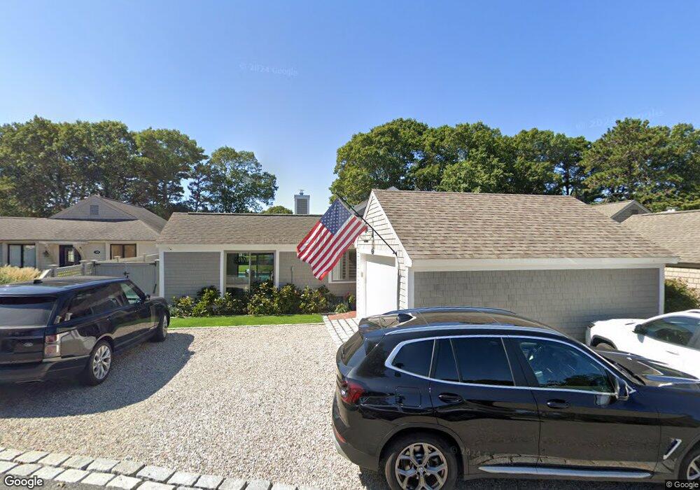
57 Mashie Cir Mashpee, MA 2649
New Seabury-Popponesset Island NeighborhoodEstimated Value: $878,000 - $1,193,000
3
Beds
2
Baths
1,264
Sq Ft
$784/Sq Ft
Est. Value
About This Home
This home is located at 57 Mashie Cir, Mashpee, MA 2649 and is currently estimated at $990,627, approximately $783 per square foot. 57 Mashie Cir is a home located in Barnstable County with nearby schools including Kenneth C. Coombs School, Quashnet School, and Mashpee Middle School.
Ownership History
Date
Name
Owned For
Owner Type
Purchase Details
Closed on
May 29, 2018
Sold by
Donovan James M and Donovan Melissa A
Bought by
Razzano Michael J
Current Estimated Value
Home Financials for this Owner
Home Financials are based on the most recent Mortgage that was taken out on this home.
Original Mortgage
$140,000
Outstanding Balance
$120,803
Interest Rate
4.4%
Mortgage Type
New Conventional
Estimated Equity
$869,824
Purchase Details
Closed on
Apr 29, 2004
Sold by
Fife Betty H
Bought by
Donovan James M
Home Financials for this Owner
Home Financials are based on the most recent Mortgage that was taken out on this home.
Original Mortgage
$235,000
Interest Rate
5.36%
Mortgage Type
Purchase Money Mortgage
Purchase Details
Closed on
Dec 10, 1999
Sold by
Art Rlty Co
Bought by
Smith Maureen A
Create a Home Valuation Report for This Property
The Home Valuation Report is an in-depth analysis detailing your home's value as well as a comparison with similar homes in the area
Home Values in the Area
Average Home Value in this Area
Purchase History
| Date | Buyer | Sale Price | Title Company |
|---|---|---|---|
| Razzano Michael J | $420,000 | -- | |
| Donovan James M | $337,000 | -- | |
| Smith Maureen A | $150,000 | -- |
Source: Public Records
Mortgage History
| Date | Status | Borrower | Loan Amount |
|---|---|---|---|
| Open | Razzano Michael J | $140,000 | |
| Previous Owner | Donovan James M | $235,000 |
Source: Public Records
Tax History Compared to Growth
Tax History
| Year | Tax Paid | Tax Assessment Tax Assessment Total Assessment is a certain percentage of the fair market value that is determined by local assessors to be the total taxable value of land and additions on the property. | Land | Improvement |
|---|---|---|---|---|
| 2025 | $5,176 | $781,900 | $405,600 | $376,300 |
| 2024 | $4,678 | $727,500 | $368,800 | $358,700 |
| 2023 | $4,300 | $613,400 | $316,000 | $297,400 |
| 2022 | $4,055 | $496,300 | $251,200 | $245,100 |
| 2021 | $3,828 | $422,000 | $241,700 | $180,300 |
| 2020 | $3,697 | $406,700 | $232,500 | $174,200 |
| 2019 | $3,863 | $426,800 | $262,200 | $164,600 |
| 2018 | $3,750 | $420,400 | $277,000 | $143,400 |
| 2017 | $3,743 | $407,300 | $277,000 | $130,300 |
| 2016 | $3,698 | $400,200 | $277,000 | $123,200 |
| 2015 | $3,594 | $394,500 | $277,000 | $117,500 |
| 2014 | $3,614 | $384,900 | $271,400 | $113,500 |
Source: Public Records
Map
Nearby Homes
- 59 Mashie Cir
- 28 Quinns Way
- 3 Niblick Ln
- 7 Brassie Way
- 5 Tide Run
- 51 Fairway Ln
- 51 Walton Heath Way
- 4 Lanyard Way Unit 7242C
- 72 Walton Heath Way
- 1 Manitoba Rd
- 23 Topping Lift
- 27 Prestwick Ln
- 16 Slice Way
- 12 Mizzenmast
- 236 Glenneagle Dr
- 3 Mizzenmast
- 51 Manitoba Rd
- 111 Waterline Dr S
- 90 Shore Dr W Unit 16D
- 89 Troon Way