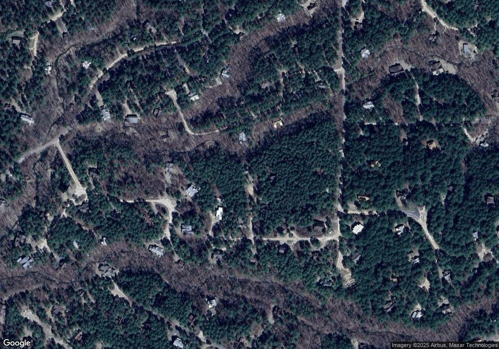
57 Mayflower Cir Broken Bow, OK 74728
Estimated Value: $711,000 - $956,000
5
Beds
5
Baths
2,624
Sq Ft
$325/Sq Ft
Est. Value
About This Home
This home is located at 57 Mayflower Cir, Broken Bow, OK 74728 and is currently estimated at $853,333, approximately $325 per square foot. 57 Mayflower Cir is a home located in McCurtain County with nearby schools including Dierks Elementary School, Bennett Elementary School, and Rector Johnson Middle School.
Ownership History
Date
Name
Owned For
Owner Type
Purchase Details
Closed on
Jun 8, 2018
Sold by
Mark Joe and Cunningham Carolyn
Bought by
Nguyen Kim N and Le Duc N
Current Estimated Value
Home Financials for this Owner
Home Financials are based on the most recent Mortgage that was taken out on this home.
Original Mortgage
$409,500
Outstanding Balance
$301,203
Interest Rate
4.5%
Mortgage Type
Commercial
Estimated Equity
$552,130
Purchase Details
Closed on
Dec 8, 2015
Sold by
Choctaw Mountain Llc
Bought by
Mark Joe and Cunningham Carolyn
Create a Home Valuation Report for This Property
The Home Valuation Report is an in-depth analysis detailing your home's value as well as a comparison with similar homes in the area
Home Values in the Area
Average Home Value in this Area
Purchase History
| Date | Buyer | Sale Price | Title Company |
|---|---|---|---|
| Nguyen Kim N | $455,000 | None Available | |
| Mark Joe | $53,000 | None Available |
Source: Public Records
Mortgage History
| Date | Status | Borrower | Loan Amount |
|---|---|---|---|
| Open | Nguyen Kim N | $409,500 |
Source: Public Records
Tax History Compared to Growth
Tax History
| Year | Tax Paid | Tax Assessment Tax Assessment Total Assessment is a certain percentage of the fair market value that is determined by local assessors to be the total taxable value of land and additions on the property. | Land | Improvement |
|---|---|---|---|---|
| 2023 | $4,104 | $50,050 | $6,600 | $43,450 |
| 2022 | $4,105 | $50,050 | $6,600 | $43,450 |
| 2021 | $4,035 | $50,050 | $6,600 | $43,450 |
| 2020 | $4,067 | $50,050 | $6,600 | $43,450 |
| 2019 | $4,086 | $50,050 | $6,600 | $43,450 |
| 2018 | $531 | $50,050 | $6,600 | $43,450 |
| 2017 | $510 | $6,122 | $6,122 | $0 |
| 2016 | $489 | $5,830 | $5,830 | $0 |
| 2015 | $167 | $1,943 | $1,943 | $0 |
Source: Public Records
Map
Nearby Homes
- 46 Short Grass Trail
- 126 Mountain Pine Trail
- 625 Deer Creek Trail
- 47 Muscadine Trail
- 447 Long Pine Trail
- 58 Hidden Dogwood Trail
- 59 Green Briar Trail
- 85 Green Apple Trail
- 280 Mountain Pine Trail
- 252 N Lukfata Trail Rd
- 47 Ginseng Cir
- 67 Bent Pine Trail
- 256 Greenbrier Trail
- 48 Eagle Mountain Trail
- 109 Eagle Mountain Trail E
- 88 Bent Pine Trail
- 130 Big Cone Trail
- 78 N Lukfata Trail Rd
- 367 Deer Creek Trail
- 25 Paint Horse Cir
- 32 Mayflower Cir
- 67 Black Gum Trail
- 145 Black Gum
- 208 Lonely Oaks Trail
- 33 Hickory Nut Trail
- 128 Black Gum Trail
- 104 Black Gum Trail
- 145 Lonely Oaks Trail
- 177 Lonely Oaks Trail
- 315 N Long Pine Trail
- 315 N Long Pine Trail
- 14 Lonely Oaks Trail
- 161 Basswood Trail
- 2 Dew Berry Cir
- 320 Long Pine Trail
- 440 N Lukfata Trail Rd S
- 175 Hickory Nut Trail
- 49 Lonely Oaks Trail
- 0 Dewberry Cir Unit 1080945
- 67 Mountain Pine Trail
