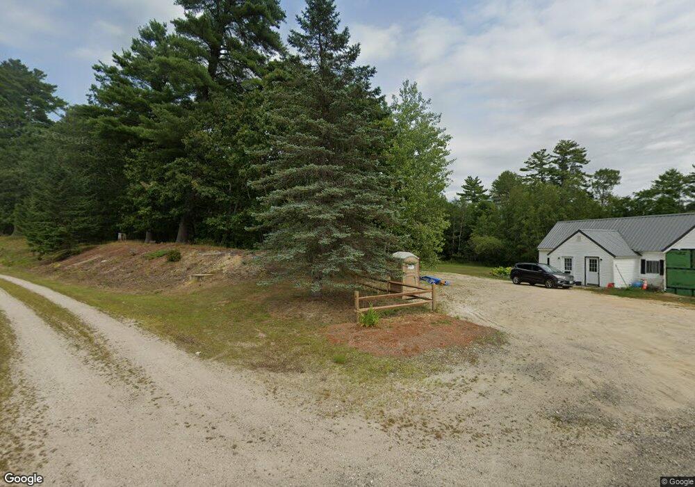
57 Middle Rd Center Tuftonboro, NH 03816
Estimated Value: $597,120 - $1,244,000
3
Beds
3
Baths
2,984
Sq Ft
$266/Sq Ft
Est. Value
About This Home
This home is located at 57 Middle Rd, Center Tuftonboro, NH 03816 and is currently estimated at $793,780, approximately $266 per square foot. 57 Middle Rd is a home with nearby schools including Tuftonboro Central School, Kingswood Regional Middle School, and Kingswood Regional High School.
Ownership History
Date
Name
Owned For
Owner Type
Purchase Details
Closed on
Jul 14, 2022
Sold by
Middle Road T and Holmberg
Bought by
Austin Daune K and Austin Patricia C
Current Estimated Value
Purchase Details
Closed on
Nov 4, 2013
Sold by
Middle Road T and Kennard
Bought by
Sandy Knoll Ret and Jr Tr
Create a Home Valuation Report for This Property
The Home Valuation Report is an in-depth analysis detailing your home's value as well as a comparison with similar homes in the area
Home Values in the Area
Average Home Value in this Area
Purchase History
| Date | Buyer | Sale Price | Title Company |
|---|---|---|---|
| Austin Daune K | $60,000 | None Available | |
| Sandy Knoll Ret | -- | -- |
Source: Public Records
Tax History Compared to Growth
Tax History
| Year | Tax Paid | Tax Assessment Tax Assessment Total Assessment is a certain percentage of the fair market value that is determined by local assessors to be the total taxable value of land and additions on the property. | Land | Improvement |
|---|---|---|---|---|
| 2024 | $3,709 | $486,800 | $77,300 | $409,500 |
| 2023 | $3,539 | $486,800 | $77,300 | $409,500 |
| 2022 | $3,135 | $486,800 | $77,300 | $409,500 |
| 2021 | $3,324 | $329,800 | $62,600 | $267,200 |
| 2020 | $3,153 | $329,800 | $62,600 | $267,200 |
| 2019 | $3,334 | $329,800 | $62,600 | $267,200 |
| 2018 | $1,960 | $224,600 | $54,600 | $170,000 |
| 2017 | $2,419 | $224,600 | $54,600 | $170,000 |
| 2016 | $2,343 | $224,600 | $54,600 | $170,000 |
| 2015 | $2,334 | $224,600 | $54,600 | $170,000 |
| 2014 | $2,189 | $219,100 | $54,600 | $164,500 |
| 2012 | $3,305 | $361,600 | $185,700 | $175,900 |
Source: Public Records
Map
Nearby Homes
- 17 Federal Corner Rd
- 51 Federal Corner Rd
- 0 N Line Rd Unit 5008080
- 1 Museum Shores Rd
- 00 N Line Rd Unit 12
- 7 Loon St
- 5 Bennett Farm Rd
- 2 Jordan Way
- Map 20 Lot 13 Beach Pond Rd
- 106 Middle Rd
- 23 Ledge Hill Rd
- 4 June Bug Ln
- 290 Pine Hill Rd
- 34 Harbor Way Unit 27
- 00 Beach Pond Rd Unit 35
- 165 Ambrose Way
- 269 Trotting Track Rd
- 17 Waumbeck Rd
- 185 Ambrose Way
- 36 Blueberry Hill Rd
- 2 Sandy Knoll Rd
- 0 Sandy Knoll Rd Unit 4126755
- 0 Sandy Knoll Rd Unit 4 4885701
- 49 Middle Rd
- Map 67, 1-2 Sandy Knoll Rd
- Map 67, 1, 2 Sandy Knoll Rd
- Map 57, 1, 2 Sandy Knoll Rd
- 369 New Hampshire 109a
- 49 Middle Rd
- 65 Middle Rd
- 43 Middle Rd
- 46 Middle Rd
- 44 Middle Rd
- 67 Middle Rd
- 15 Middle Rd
- 146 Lang Pond Rd
- 70 Middle Rd
- 71 Middle Rd
- 146 Lang Pond Rd
- 75 Middle Rd
