57 Monarch Ave Goffstown, NH 03045
Estimated Value: $700,000 - $798,000
About This Home
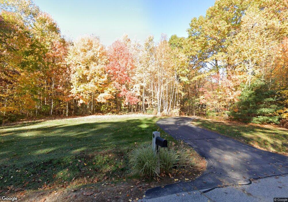
This home is located at 57 Monarch Ave, Goffstown, NH 03045 and is currently estimated at $750,594, approximately $349 per square foot. 57 Monarch Ave is a home located in Hillsborough County with nearby schools including Mountain View Middle School, Goffstown High School, and Spark Academy of Advanced Technologies Charter School.
Ownership History
We collect this data history from publicly available records. To have your information removed, we recommend requesting removal directly through your county’s website.
Purchase Details
Purchase Details
Home Values in the Area
Average Home Value in this Area
Purchase History
We collect this data history from publicly available records. To have your information removed, we recommend requesting removal directly through your county’s website.
| Date | Buyer | Sale Price | Title Company |
|---|---|---|---|
| -- | -- | ||
| $154,300 | -- |
Mortgage History
We collect this data history from publicly available records. To have your information removed, we recommend requesting removal directly through your county’s website.
| Date | Status | Borrower | Loan Amount |
|---|---|---|---|
| Previous Owner | $200,000 |
Tax History
We collect this data history from publicly available records. To have your information removed, we recommend requesting removal directly through your county’s website.
| Year | Tax Paid | Tax Assessment Tax Assessment Total Assessment is a certain percentage of the fair market value that is determined by local assessors to be the total taxable value of land and additions on the property. | Land | Improvement |
|---|---|---|---|---|
| 2025 | $12,568 | $601,900 | $225,500 | $376,400 |
| 2024 | $12,303 | $601,900 | $225,500 | $376,400 |
| 2023 | $11,352 | $601,900 | $225,500 | $376,400 |
| 2022 | $10,529 | $400,200 | $147,600 | $252,600 |
| 2021 | $9,960 | $401,300 | $147,600 | $253,700 |
| 2020 | $9,960 | $401,300 | $147,600 | $253,700 |
| 2019 | $9,876 | $401,800 | $147,600 | $254,200 |
| 2018 | $7,473 | $401,800 | $147,600 | $254,200 |
| 2017 | $9,819 | $358,100 | $124,100 | $234,000 |
| 2016 | $9,465 | $358,100 | $124,100 | $234,000 |
| 2015 | $9,476 | $336,500 | $116,700 | $219,800 |
| 2014 | $9,086 | $336,500 | $116,700 | $219,800 |
Map
- 53 River Ledge Dr
- 62 Roger Rd
- 55 Roger Rd
- 66 Redwood Way
- 264 Woodview Way
- 25 Redwood Way Unit 24
- 36 Peppermint St
- 67 Blueberry Dr
- 89 Woodview Way
- 118 Danis Park Rd
- 17 Roundabout Way Unit 5
- 12 Landmark Ln Unit A
- 43 Sage Ct
- 24 Donald Dr
- 235 Knollwood Way
- 93 Lynchville Park Rd
- 270 Knollwood Way
- 1280 Goffstown Rd
- 46 Morgan Cir Unit A
- 79 Lynchville Park Rd
- 55 Monarch Ave
- 51 Monarch Ave
- 54 Monarch Ave
- 134 Lindsey Way
- 62 Monarch Ave
- 60 Monarch Ave
- 132 Lindsey Way
- 50 Monarch Ave
- 144 Lindsey Way
- 150 Lindsey Way
- 45 Monarch Ave
- 00 Lindsey Way Unit M:9 B:4 L:38-1
- 00 Lindsey Way Unit Lot 4-38-2
- 75 Monarch Ave
- 44 Monarch Ave
- 31 Monarch Ave
- 17 Monarch Ave
- 131 Lindsey Way
- 118 Lindsey Way
- 92 Monarch Ave
Ask me questions while you tour the home.