57 Myrtle St Norfolk, MA 02056
Estimated Value: $1,172,000 - $2,627,000
3
Beds
4
Baths
3,795
Sq Ft
$475/Sq Ft
Est. Value
About This Home
This home is located at 57 Myrtle St, Norfolk, MA 02056 and is currently estimated at $1,802,268, approximately $474 per square foot. 57 Myrtle St is a home located in Norfolk County with nearby schools including H. Olive Day School, Freeman-Kennedy School, and Woodside Montessori Academy.
Create a Home Valuation Report for This Property
The Home Valuation Report is an in-depth analysis detailing your home's value as well as a comparison with similar homes in the area
Home Values in the Area
Average Home Value in this Area
Tax History Compared to Growth
Tax History
| Year | Tax Paid | Tax Assessment Tax Assessment Total Assessment is a certain percentage of the fair market value that is determined by local assessors to be the total taxable value of land and additions on the property. | Land | Improvement |
|---|---|---|---|---|
| 2025 | $23,757 | $1,487,600 | $412,500 | $1,075,100 |
| 2024 | $22,701 | $1,458,000 | $424,100 | $1,033,900 |
| 2023 | $22,368 | $1,363,100 | $424,100 | $939,000 |
| 2022 | $20,340 | $1,117,600 | $408,700 | $708,900 |
| 2021 | $19,382 | $1,077,400 | $402,100 | $675,300 |
| 2020 | $20,247 | $1,086,200 | $382,300 | $703,900 |
| 2019 | $19,867 | $1,086,200 | $382,300 | $703,900 |
| 2018 | $17,831 | $957,600 | $382,300 | $575,300 |
| 2017 | $17,562 | $963,900 | $382,300 | $581,600 |
| 2016 | $15,889 | $878,800 | $390,000 | $488,800 |
| 2015 | $15,389 | $871,400 | $377,400 | $494,000 |
| 2014 | $15,277 | $876,500 | $377,400 | $499,100 |
Source: Public Records
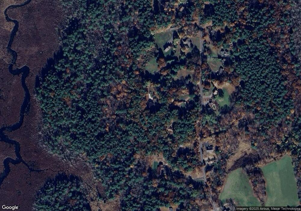
Map
Nearby Homes
- 41 Myrtle St
- 12 Ariana Ln
- 98 Myrtle St
- 292 Main St
- 0 Toils End Rd
- 99 Leland Rd
- 10 Silver Fox Rd
- 33 Daniels St
- 10 Populatic Street Extension
- 312 Eagles Nest Way Unit 312
- 48 River Rd
- 18 Keeney Pond Rd
- 16 Keeney Pond Rd
- 10 Medway St
- 70 Daniels St
- 29 Wildwood Rd Unit 29
- 11 Waites Crossing
- 20 Waites Crossing
- 19 Waites Crossing
- 9 Waites Crossing