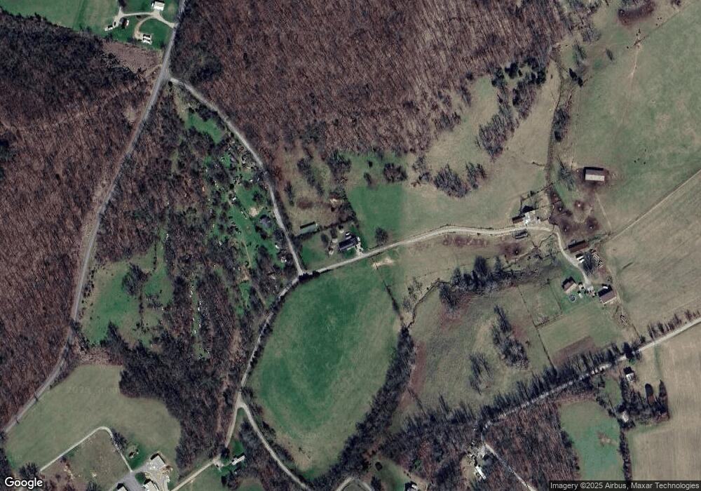
57 Poppy Ln Mount Vernon, KY 40456
Estimated Value: $106,311 - $213,000
2
Beds
1
Bath
1,932
Sq Ft
$85/Sq Ft
Est. Value
About This Home
This home is located at 57 Poppy Ln, Mount Vernon, KY 40456 and is currently estimated at $164,828, approximately $85 per square foot. 57 Poppy Ln is a home located in Rockcastle County with nearby schools including Rockcastle County High School.
Ownership History
Date
Name
Owned For
Owner Type
Purchase Details
Closed on
Nov 21, 2018
Sold by
Linville Gary and Linville Gail
Bought by
Denham James and Denham Amy
Current Estimated Value
Home Financials for this Owner
Home Financials are based on the most recent Mortgage that was taken out on this home.
Original Mortgage
$23,000
Outstanding Balance
$20,224
Interest Rate
4.8%
Mortgage Type
Purchase Money Mortgage
Estimated Equity
$144,604
Purchase Details
Closed on
Jan 4, 2013
Sold by
Mullins Darcy Kent and Mullins Ashley
Bought by
Brtodd Invetments Llc
Create a Home Valuation Report for This Property
The Home Valuation Report is an in-depth analysis detailing your home's value as well as a comparison with similar homes in the area
Home Values in the Area
Average Home Value in this Area
Purchase History
| Date | Buyer | Sale Price | Title Company |
|---|---|---|---|
| Denham James | $35,000 | None Available | |
| Brtodd Invetments Llc | $49,000 | None Available |
Source: Public Records
Mortgage History
| Date | Status | Borrower | Loan Amount |
|---|---|---|---|
| Open | Denham James | $23,000 |
Source: Public Records
Tax History Compared to Growth
Tax History
| Year | Tax Paid | Tax Assessment Tax Assessment Total Assessment is a certain percentage of the fair market value that is determined by local assessors to be the total taxable value of land and additions on the property. | Land | Improvement |
|---|---|---|---|---|
| 2024 | $532 | $65,000 | $0 | $0 |
| 2023 | $538 | $65,000 | $0 | $0 |
| 2022 | $534 | $65,000 | $0 | $0 |
| 2021 | $538 | $65,000 | $0 | $0 |
| 2020 | $537 | $65,000 | $0 | $0 |
| 2019 | $534 | $65,000 | $0 | $0 |
| 2018 | $532 | $65,000 | $0 | $0 |
| 2017 | $399 | $49,000 | $0 | $0 |
| 2016 | $390 | $49,000 | $0 | $0 |
| 2015 | -- | $49,000 | $0 | $0 |
| 2010 | -- | $58,500 | $0 | $0 |
Source: Public Records
Map
Nearby Homes
- 690 Bill Stephens Rd Unit Tract 3
- 690 Bill Stephens Rd Unit Tract 1
- 690 Bill Stephens Rd Unit Tract 2
- 690 Bill Stephens Rd Unit Tract 4
- 3729 Old State Rd
- 305 Whitley Ln
- 320 Whitley Ln
- 328 Whitley Ln
- 325 Whitley Ln
- 329 Whitley Ln
- 10197 N Wilderness Rd
- 9171 N Wilderness Rd
- 29 Teresa Ln
- 12132 N Wilderness Rd
- 1765 Mason Lake Rd
- 2012 Lambert Rd
- 6159 N Wilderness Rd
- 2511 Scaffold Cane Rd
- 2471 Scaffold Cane Rd
- 2461 Lambert Rd
- 196 Poppy Ln
- 540 Wildrose Rd
- 689 Scaffold Cane Loop
- 689 Scaffold Cane Loop
- 689 Scaffold Cane Loop
- 689 Scaffold Cane Loop
- 689 Scaffold Cane Loop
- 458 Scaffold Cane Loop
- 7 Clyde Linville Rd
- 3453 Scaffold Cane Rd
- 173 Big Sandy Rd
- 3927 Scaffold Cane Rd
- 303 Big Sandy Rd
- 859 Cr-1050
- 296 Big Sandy Rd
- 296 Big Sandy Rd
- 679 Scaffold Cane Rd
- 0 Scaffold Cane Rd
- 0 Scaffold Cane Rd
- 460 Buttercup Rd
