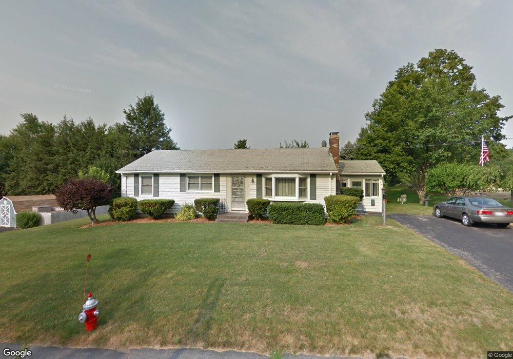
57 Prescott St West Boylston, MA 01583
Estimated Value: $430,688 - $457,000
3
Beds
1
Bath
1,056
Sq Ft
$421/Sq Ft
Est. Value
About This Home
This home is located at 57 Prescott St, West Boylston, MA 01583 and is currently estimated at $444,172, approximately $420 per square foot. 57 Prescott St is a home located in Worcester County with nearby schools including Major Edwards Elementary School and West Boylston Junior/Senior High School.
Ownership History
Date
Name
Owned For
Owner Type
Purchase Details
Closed on
Jan 12, 2018
Sold by
L Albert A and L Monroe Ir P
Bought by
Monroe Sean F
Current Estimated Value
Home Financials for this Owner
Home Financials are based on the most recent Mortgage that was taken out on this home.
Original Mortgage
$200,000
Outstanding Balance
$168,603
Interest Rate
3.9%
Mortgage Type
New Conventional
Estimated Equity
$275,569
Purchase Details
Closed on
Jun 8, 2010
Sold by
Monroe Albert A and Monroe Pauline L
Bought by
Monroe Tr Albert A and Monroe Pauline L
Purchase Details
Closed on
Oct 7, 1964
Bought by
A & P Monroe Irt
Create a Home Valuation Report for This Property
The Home Valuation Report is an in-depth analysis detailing your home's value as well as a comparison with similar homes in the area
Home Values in the Area
Average Home Value in this Area
Purchase History
| Date | Buyer | Sale Price | Title Company |
|---|---|---|---|
| Monroe Sean F | $250,000 | -- | |
| Monroe Tr Albert A | -- | -- | |
| A & P Monroe Irt | -- | -- |
Source: Public Records
Mortgage History
| Date | Status | Borrower | Loan Amount |
|---|---|---|---|
| Open | Monroe Sean F | $200,000 |
Source: Public Records
Tax History Compared to Growth
Tax History
| Year | Tax Paid | Tax Assessment Tax Assessment Total Assessment is a certain percentage of the fair market value that is determined by local assessors to be the total taxable value of land and additions on the property. | Land | Improvement |
|---|---|---|---|---|
| 2025 | $51 | $365,900 | $110,500 | $255,400 |
| 2024 | $5,018 | $339,500 | $110,500 | $229,000 |
| 2023 | $4,858 | $311,800 | $109,300 | $202,500 |
| 2022 | $4,687 | $265,100 | $109,300 | $155,800 |
| 2021 | $4,101 | $246,800 | $104,200 | $142,600 |
| 2020 | $3,865 | $241,800 | $104,200 | $137,600 |
| 2019 | $4,262 | $226,100 | $104,200 | $121,900 |
| 2018 | $3,549 | $218,700 | $104,200 | $114,500 |
| 2017 | $3,719 | $197,800 | $104,200 | $93,600 |
| 2016 | $3,603 | $195,300 | $97,000 | $98,300 |
| 2015 | $3,538 | $192,900 | $96,000 | $96,900 |
Source: Public Records
Map
Nearby Homes
- 20 Winthrop St
- 136 Sterling St Unit A3
- 23 Western Ave
- 16 N Main St
- 127 N Main St
- 54 Maple St
- 18 Laurel Ave
- 15 Myrtle Ave
- 2 Lakeview Ave
- 287 Laurel St
- 0 Boutelle Rd
- 61 Boutelle Rd
- 223 Worcester Rd
- 39 Davidson Rd
- 43 Chace Hill Rd
- 1 Highland Ave
- 15 N Cove Rd
- 0 North St
- 1 Harmony Ln Unit 4
- 2 Harmony Ln Unit 1