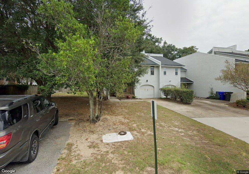
57 Rivers Point Row Charleston, SC 29412
James Island NeighborhoodEstimated Value: $365,000 - $446,877
3
Beds
3
Baths
2,116
Sq Ft
$193/Sq Ft
Est. Value
About This Home
This home is located at 57 Rivers Point Row, Charleston, SC 29412 and is currently estimated at $409,219, approximately $193 per square foot. 57 Rivers Point Row is a home located in Charleston County with nearby schools including Harbor View Elementary School, Camp Road Middle, and James Island Charter High School.
Ownership History
Date
Name
Owned For
Owner Type
Purchase Details
Closed on
Oct 20, 2023
Sold by
Gantt John Thomas
Bought by
Buckles David Franklin and Buckles Molly Mckelvey
Current Estimated Value
Home Financials for this Owner
Home Financials are based on the most recent Mortgage that was taken out on this home.
Original Mortgage
$170,000
Outstanding Balance
$166,695
Interest Rate
7.18%
Mortgage Type
New Conventional
Estimated Equity
$242,524
Purchase Details
Closed on
Apr 11, 2006
Sold by
Gantt John Thomas
Bought by
Gantt John Thomas
Create a Home Valuation Report for This Property
The Home Valuation Report is an in-depth analysis detailing your home's value as well as a comparison with similar homes in the area
Home Values in the Area
Average Home Value in this Area
Purchase History
| Date | Buyer | Sale Price | Title Company |
|---|---|---|---|
| Buckles David Franklin | $320,000 | None Listed On Document | |
| Gantt John Thomas | -- | None Available |
Source: Public Records
Mortgage History
| Date | Status | Borrower | Loan Amount |
|---|---|---|---|
| Open | Buckles David Franklin | $170,000 |
Source: Public Records
Tax History Compared to Growth
Tax History
| Year | Tax Paid | Tax Assessment Tax Assessment Total Assessment is a certain percentage of the fair market value that is determined by local assessors to be the total taxable value of land and additions on the property. | Land | Improvement |
|---|---|---|---|---|
| 2024 | $1,749 | $12,800 | $0 | $0 |
| 2023 | $5,595 | $11,840 | $0 | $0 |
| 2022 | $3,225 | $11,840 | $0 | $0 |
| 2021 | $3,186 | $11,840 | $0 | $0 |
| 2020 | $3,163 | $11,840 | $0 | $0 |
| 2019 | $2,896 | $10,300 | $0 | $0 |
| 2017 | $2,769 | $10,300 | $0 | $0 |
| 2016 | $2,681 | $10,300 | $0 | $0 |
| 2015 | $2,562 | $10,300 | $0 | $0 |
| 2014 | $2,454 | $0 | $0 | $0 |
| 2011 | -- | $0 | $0 | $0 |
Source: Public Records
Map
Nearby Homes
- 35 Rivers Point Row Unit A
- 6 Commercial Row
- 21 Rivers Point Row Unit 5A
- 21 Rivers Point Row Unit 3C
- 21 Rivers Point Row Unit 10C
- 31 Maplecrest Dr
- 10 Bass Ln Unit D
- 10 Bass Ln Unit A
- 13 Maplecrest Dr
- 50 Held Cir Unit 50c
- 17 S Anderson Ave Unit A,B,C, D
- 55 Held Cir
- 1 S Anderson Ave
- 930 Julia St
- 8 Brockman Dr
- 1734 Combahee St
- 1416 Camp Rd
- 1764 Lady Ashley St
- 27 Brockman Dr Unit 27C
- 27 Brockman Dr Unit 27B
- 57 Rivers Point Row Unit 8
- 55 Rivers Point Row Unit 7
- 53 Rivers Point Row Unit 6
- 51 Rivers Point Row Unit 5
- 56 Meander Row
- 54 Meander Row
- 54 Meander Row Unit 3
- 49 Rivers Point Row
- 49 Rivers Point Row Unit 4
- 58 Meander Row
- 58 Meander Row Unit 1
- 47 Rivers Point Row
- 47 Rivers Point Row
- 47 Rivers Point Row Unit 3
- 40 Meander Row Unit 12
- 40 Meander Row
- 38 Meander Row Unit 11
- 36 Meander Row
- 45 Rivers Point Row Unit 2
- 34 Meander Row Unit 9