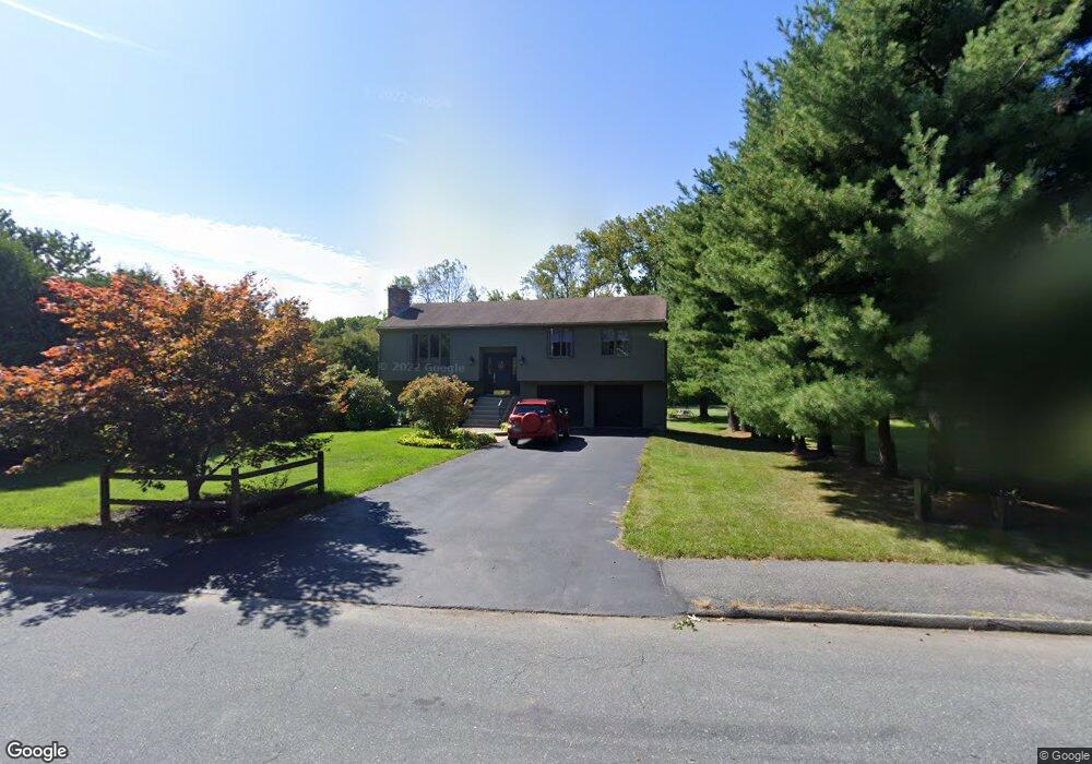
57 Sandra Dr Worcester, MA 01604
Broadmeadow Brook NeighborhoodEstimated Value: $433,000 - $493,000
3
Beds
2
Baths
1,236
Sq Ft
$373/Sq Ft
Est. Value
About This Home
This home is located at 57 Sandra Dr, Worcester, MA 01604 and is currently estimated at $460,493, approximately $372 per square foot. 57 Sandra Dr is a home located in Worcester County with nearby schools including Jacob Hiatt Magnet School, Chandler Magnet, and Rice Square Elementary School.
Create a Home Valuation Report for This Property
The Home Valuation Report is an in-depth analysis detailing your home's value as well as a comparison with similar homes in the area
Home Values in the Area
Average Home Value in this Area
Tax History
| Year | Tax Paid | Tax Assessment Tax Assessment Total Assessment is a certain percentage of the fair market value that is determined by local assessors to be the total taxable value of land and additions on the property. | Land | Improvement |
|---|---|---|---|---|
| 2025 | $5,629 | $426,800 | $118,900 | $307,900 |
| 2024 | $5,485 | $398,900 | $118,900 | $280,000 |
| 2023 | $5,396 | $376,300 | $103,300 | $273,000 |
| 2022 | $4,686 | $308,100 | $82,700 | $225,400 |
| 2021 | $4,622 | $283,900 | $66,200 | $217,700 |
| 2020 | $4,418 | $259,900 | $66,100 | $193,800 |
| 2019 | $4,316 | $239,800 | $59,600 | $180,200 |
| 2018 | $4,340 | $229,500 | $59,600 | $169,900 |
| 2017 | $4,161 | $216,500 | $59,600 | $156,900 |
| 2016 | $4,118 | $199,800 | $44,100 | $155,700 |
| 2015 | $4,010 | $199,800 | $44,100 | $155,700 |
| 2014 | $3,904 | $199,800 | $44,100 | $155,700 |
Source: Public Records
Map
Nearby Homes
- 3 Julien Ave
- 266 Massasoit Rd
- 256 Massasoit Rd
- 259 Massasoit Rd
- 25 Stoneham Rd
- 9 Marissa Cir
- 464-466 Granite St
- 460-462 Granite St
- 460-466 Granite St
- 53 Denver Terrace
- 300 Millbury Ave
- 47 Gibbs St
- 62 Allston Ave
- 7 Clarissa St
- 1195 Grafton St Unit 29
- 1195 Grafton St Unit 19
- 1195 Grafton St Unit 39
- 20 Brightwood Ave
- 8 Nightview Place
- 6 Nathaniel St
Your Personal Tour Guide
Ask me questions while you tour the home.