57 Silver St Gilford, NH 03249
Estimated Value: $517,000 - $617,000
3
Beds
3
Baths
1,394
Sq Ft
$406/Sq Ft
Est. Value
About This Home
This home is located at 57 Silver St, Gilford, NH 03249 and is currently estimated at $566,497, approximately $406 per square foot. 57 Silver St is a home located in Belknap County with nearby schools including Gilford Elementary School, Gilford Middle School, and Gilford High School.
Ownership History
Date
Name
Owned For
Owner Type
Purchase Details
Closed on
Aug 3, 2015
Sold by
Nash Kevin A and Nash Lori A
Bought by
Sherman William L and Sherman Regina A
Current Estimated Value
Purchase Details
Closed on
Jul 19, 2001
Sold by
Barton David J
Bought by
Nash Kevin A
Purchase Details
Closed on
Feb 5, 1999
Sold by
Rasmussen Warren and Rasmussen Doris
Bought by
Barton David J
Create a Home Valuation Report for This Property
The Home Valuation Report is an in-depth analysis detailing your home's value as well as a comparison with similar homes in the area
Home Values in the Area
Average Home Value in this Area
Purchase History
| Date | Buyer | Sale Price | Title Company |
|---|---|---|---|
| Sherman William L | -- | -- | |
| Barton David J | $9,000 | -- | |
| Nash Kevin A | $26,100 | -- |
Source: Public Records
Mortgage History
| Date | Status | Borrower | Loan Amount |
|---|---|---|---|
| Previous Owner | Barton David J | $189,325 | |
| Previous Owner | Barton David J | $198,000 |
Source: Public Records
Tax History Compared to Growth
Tax History
| Year | Tax Paid | Tax Assessment Tax Assessment Total Assessment is a certain percentage of the fair market value that is determined by local assessors to be the total taxable value of land and additions on the property. | Land | Improvement |
|---|---|---|---|---|
| 2024 | $5,674 | $504,380 | $123,480 | $380,900 |
| 2023 | $5,165 | $501,480 | $123,480 | $378,000 |
| 2022 | $4,244 | $346,470 | $52,270 | $294,200 |
| 2021 | $4,255 | $346,470 | $52,270 | $294,200 |
| 2020 | $4,747 | $290,170 | $44,570 | $245,600 |
| 2019 | $4,344 | $273,910 | $39,110 | $234,800 |
| 2018 | $4,124 | $241,990 | $39,190 | $202,800 |
| 2017 | $3,804 | $220,390 | $39,190 | $181,200 |
| 2016 | $3,937 | $219,320 | $49,020 | $170,300 |
| 2015 | $3,705 | $206,150 | $42,750 | $163,400 |
| 2011 | $3,533 | $190,440 | $48,740 | $141,700 |
Source: Public Records
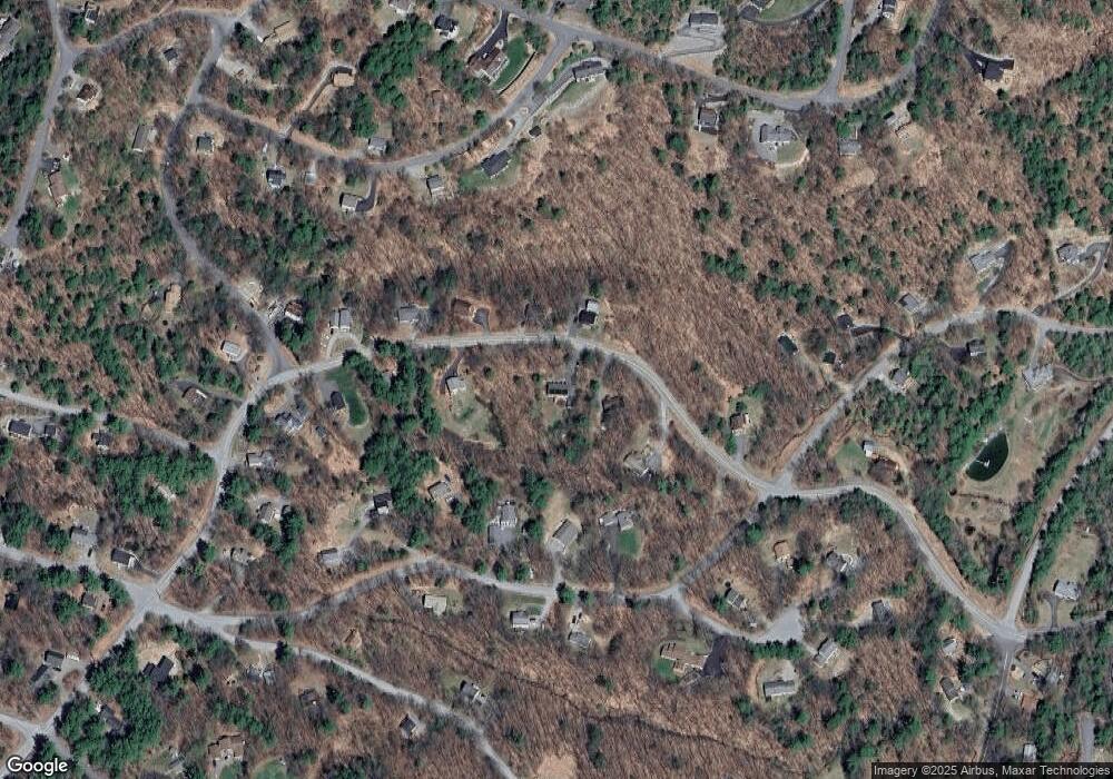
Map
Nearby Homes
- 22 Silver St
- 9 Chestnut Dr
- 214 Sagamore Rd
- 12 Balsam Dr
- 56 Foxglove Rd
- 18 Balsam Dr
- 252 Chestnut Dr
- 235 Chestnut Dr
- 4 Cheshire Cir
- 55 White Birch Dr
- 102 Curtis Rd
- 14 Curtis Rd
- 134 Chestnut Dr
- 197 Scenic Dr Unit 3
- 26 Chalet Dr
- 235 Cumberland Rd
- 90 Briarcliff Rd
- 39 Deer Run Ln
- 663 Cherry Valley Rd Unit 311
- 1 Woodbridge Lsp Rd