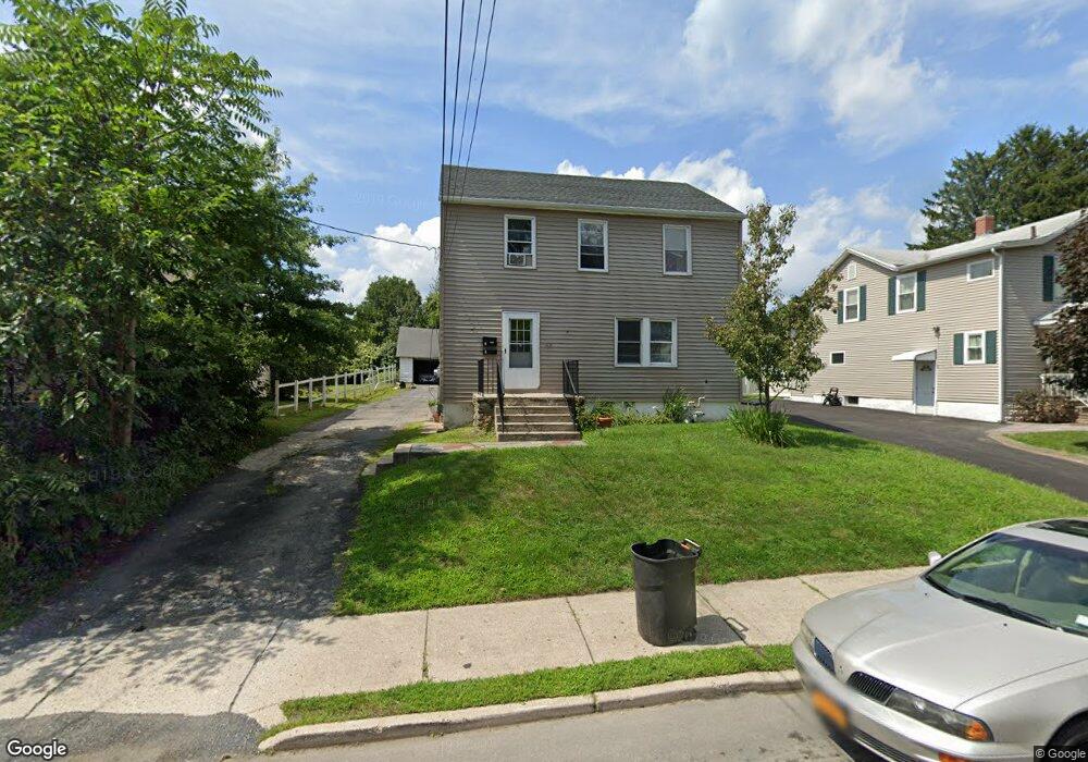
57 Sproat St Middletown, NY 10940
Estimated Value: $363,000 - $425,000
4
Beds
2
Baths
1,900
Sq Ft
$210/Sq Ft
Est. Value
About This Home
This home is located at 57 Sproat St, Middletown, NY 10940 and is currently estimated at $399,182, approximately $210 per square foot. 57 Sproat St is a home located in Orange County with nearby schools including Presidential Park Elementary School, Middletown Twin Towers Middle School, and Monhagen Middle School.
Ownership History
Date
Name
Owned For
Owner Type
Purchase Details
Closed on
Aug 10, 2020
Sold by
Labar Charles G Est
Bought by
Labar Amy and Desisto Jenny
Current Estimated Value
Purchase Details
Closed on
Oct 20, 2004
Sold by
Vohra Arun
Bought by
Pachon Monica
Purchase Details
Closed on
Aug 5, 1998
Sold by
Ballman Anne D
Bought by
Fernanda Michelle
Create a Home Valuation Report for This Property
The Home Valuation Report is an in-depth analysis detailing your home's value as well as a comparison with similar homes in the area
Home Values in the Area
Average Home Value in this Area
Purchase History
| Date | Buyer | Sale Price | Title Company |
|---|---|---|---|
| Labar Amy | -- | None Available | |
| Pachon Monica | $225,000 | Mark Fisher | |
| Fernanda Michelle | $70,000 | Chicago Title Insurance Co |
Source: Public Records
Tax History
| Year | Tax Paid | Tax Assessment Tax Assessment Total Assessment is a certain percentage of the fair market value that is determined by local assessors to be the total taxable value of land and additions on the property. | Land | Improvement |
|---|---|---|---|---|
| 2024 | $7,824 | $28,500 | $6,700 | $21,800 |
| 2023 | $7,824 | $28,500 | $6,700 | $21,800 |
| 2022 | $7,663 | $28,500 | $6,700 | $21,800 |
| 2021 | $8,062 | $28,500 | $6,700 | $21,800 |
| 2020 | $3,301 | $28,500 | $6,700 | $21,800 |
| 2019 | $3,212 | $28,500 | $6,700 | $21,800 |
| 2018 | $7,656 | $28,500 | $6,700 | $21,800 |
| 2017 | $7,423 | $28,500 | $6,700 | $21,800 |
| 2016 | $7,443 | $28,500 | $6,700 | $21,800 |
| 2015 | -- | $28,500 | $6,700 | $21,800 |
| 2014 | -- | $28,500 | $6,700 | $21,800 |
Source: Public Records
Map
Nearby Homes
- 212 Cottage St
- 57 Overhill Rd
- 14 Albert St
- 138-1/2 Linden Ave
- 10 Royce Ave
- 143 N Beacon St
- 96-96.5 Beattie Ave Unit 2
- 115 Vincent Dr
- 109 Watkins Ave
- 86 Linden Ave
- 71 Commonwealth Ave
- 187 Watkins Ave
- 78 Commonwealth Ave
- 256 E Main St
- TBD Silver Lake-Scotchtown Rd
- 21 Ridge St
- 26 Ridge St
- 17 Magnolia Park Rd
- 21 Cyprus Dr
- 24 3rd St
Your Personal Tour Guide
Ask me questions while you tour the home.