57 Summit View Dr Tamworth, NH 03886
Estimated Value: $325,000 - $349,000
2
Beds
1
Bath
1,064
Sq Ft
$316/Sq Ft
Est. Value
About This Home
This home is located at 57 Summit View Dr, Tamworth, NH 03886 and is currently estimated at $336,043, approximately $315 per square foot. 57 Summit View Dr is a home with nearby schools including Kenneth A. Brett School, Bear Camp Valley School, and The Community School.
Ownership History
Date
Name
Owned For
Owner Type
Purchase Details
Closed on
Feb 3, 2015
Sold by
Young Richard A
Bought by
Young Richard A and Young Adeline M
Current Estimated Value
Purchase Details
Closed on
Sep 3, 2008
Sold by
Griggs Brett
Bought by
Young Richard A
Home Financials for this Owner
Home Financials are based on the most recent Mortgage that was taken out on this home.
Original Mortgage
$148,824
Interest Rate
6.69%
Mortgage Type
Purchase Money Mortgage
Create a Home Valuation Report for This Property
The Home Valuation Report is an in-depth analysis detailing your home's value as well as a comparison with similar homes in the area
Home Values in the Area
Average Home Value in this Area
Purchase History
| Date | Buyer | Sale Price | Title Company |
|---|---|---|---|
| Young Richard A | -- | -- | |
| Young Richard A | $150,000 | -- |
Source: Public Records
Mortgage History
| Date | Status | Borrower | Loan Amount |
|---|---|---|---|
| Previous Owner | Young Richard A | $148,824 |
Source: Public Records
Tax History Compared to Growth
Tax History
| Year | Tax Paid | Tax Assessment Tax Assessment Total Assessment is a certain percentage of the fair market value that is determined by local assessors to be the total taxable value of land and additions on the property. | Land | Improvement |
|---|---|---|---|---|
| 2024 | $3,986 | $276,200 | $78,900 | $197,300 |
| 2023 | $3,994 | $158,300 | $51,500 | $106,800 |
| 2022 | $3,763 | $158,300 | $51,500 | $106,800 |
| 2021 | $3,505 | $158,300 | $51,500 | $106,800 |
| 2020 | $3,559 | $158,300 | $51,500 | $106,800 |
| 2019 | $3,410 | $158,300 | $51,500 | $106,800 |
| 2018 | $3,217 | $139,500 | $26,500 | $113,000 |
| 2017 | $3,167 | $139,500 | $26,500 | $113,000 |
| 2016 | $3,200 | $139,500 | $26,500 | $113,000 |
| 2015 | $3,188 | $139,500 | $26,500 | $113,000 |
| 2013 | $2,830 | $141,500 | $26,500 | $115,000 |
Source: Public Records
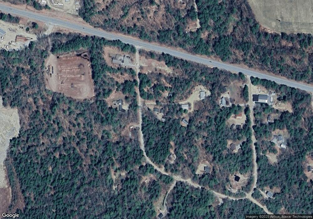
Map
Nearby Homes
- 23 Summit View Dr
- 255 Summit View Dr
- 190 Whittier Rd
- 4 Whittier Rd
- 96 Bryant Mill Rd
- 137 Durrell Rd
- Map 206 Lot 28 Whittier Rd
- 27 Butternut Ln
- 527 Tamworth Rd
- 515 Hollow Hill Rd
- 13 Mill Rd
- 829 Bearcamp Hwy
- 55 Hollow Hill Rd
- 83 Tamworth Rd
- 85 Main St Unit 2
- 1785 White Mountain Hwy
- 10 Margo Ln
- 1252 Bearcamp Hwy
- 0 Poco Dr Unit 5067927
- 51 Poco Dr
- 32 Summit View Dr
- 32 Summit View Dr
- 00 Lot 26 Summit View Dr
- 0 Summit View Dr
- 32 Summit View
- 105 Summit View Dr
- 58 Summit View Dr
- 23 Route 25 & Summit View Dr
- 23 Summit View & Rt 25 Dr
- 25 Summit View Dr
- 124 Summit View Dr
- 22 Summit View Dr
- 104 Summit View Dr
- 159 Summit View Dr
- 206 Summit View Dr
- 295 Summit View Dr
- 68 Mabel Evans Rd
- 204 Summit View Dr
- 255 Summit View Dr
- 202 Summit View Dr