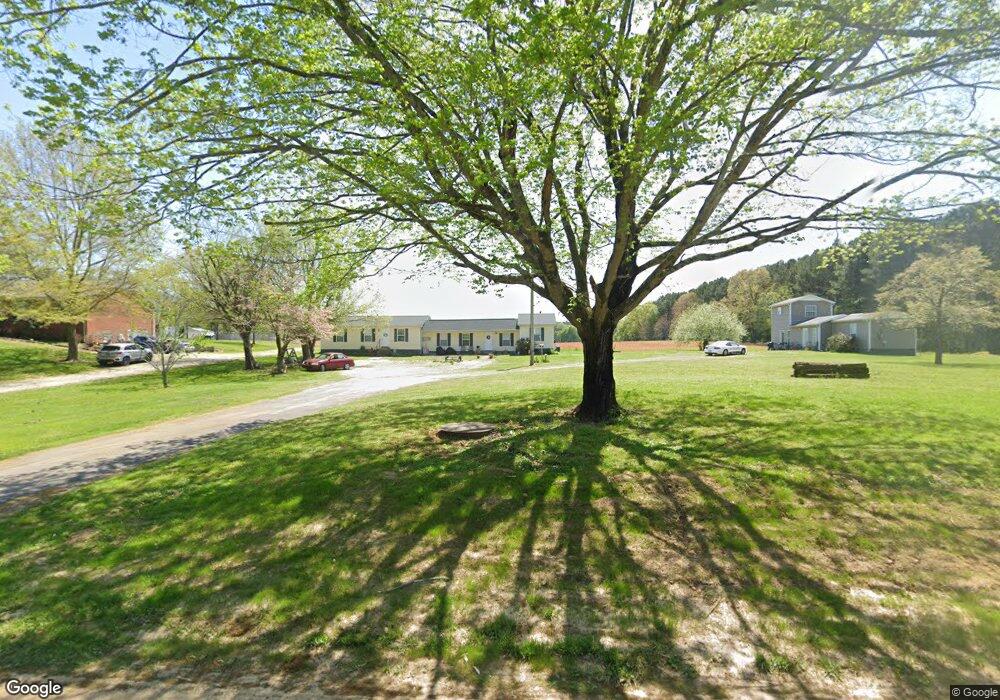
57 Sutton Dr Lawrenceburg, TN 38464
Estimated Value: $173,189 - $313,000
--
Bed
3
Baths
2,437
Sq Ft
$93/Sq Ft
Est. Value
About This Home
This home is located at 57 Sutton Dr, Lawrenceburg, TN 38464 and is currently estimated at $226,730, approximately $93 per square foot. 57 Sutton Dr is a home located in Lawrence County with nearby schools including Ingram Sowell Elementary School, Lawrenceburg Public Elementary School, and David Crockett Elementary School.
Ownership History
Date
Name
Owned For
Owner Type
Purchase Details
Closed on
Oct 31, 2005
Sold by
Becky Holder
Bought by
Braly Construction Co Inc
Current Estimated Value
Purchase Details
Closed on
Nov 29, 2001
Sold by
Holder Brown Pam
Bought by
Becky Holder
Purchase Details
Closed on
Jul 21, 1980
Bought by
Holder Dempsey
Purchase Details
Closed on
Apr 5, 1980
Purchase Details
Closed on
Jan 2, 1980
Purchase Details
Closed on
Jan 1, 1980
Create a Home Valuation Report for This Property
The Home Valuation Report is an in-depth analysis detailing your home's value as well as a comparison with similar homes in the area
Home Values in the Area
Average Home Value in this Area
Purchase History
| Date | Buyer | Sale Price | Title Company |
|---|---|---|---|
| Braly Construction Co Inc | $96,000 | -- | |
| Becky Holder | -- | -- | |
| Holder Dempsey | -- | -- | |
| -- | -- | -- | |
| -- | $26,000 | -- | |
| -- | $26,000 | -- |
Source: Public Records
Tax History Compared to Growth
Tax History
| Year | Tax Paid | Tax Assessment Tax Assessment Total Assessment is a certain percentage of the fair market value that is determined by local assessors to be the total taxable value of land and additions on the property. | Land | Improvement |
|---|---|---|---|---|
| 2025 | $466 | $23,200 | $0 | $0 |
| 2024 | $466 | $23,200 | $3,000 | $20,200 |
| 2023 | $466 | $23,200 | $3,000 | $20,200 |
| 2022 | $466 | $23,200 | $3,000 | $20,200 |
| 2021 | $317 | $10,700 | $3,000 | $7,700 |
| 2020 | $581 | $10,700 | $3,000 | $7,700 |
| 2019 | $581 | $19,650 | $3,000 | $16,650 |
| 2018 | $581 | $19,650 | $3,000 | $16,650 |
| 2017 | $581 | $19,650 | $3,000 | $16,650 |
| 2016 | $581 | $19,650 | $3,000 | $16,650 |
| 2015 | $538 | $19,650 | $3,000 | $16,650 |
| 2014 | $498 | $18,200 | $3,000 | $15,200 |
Source: Public Records
Map
Nearby Homes
- 260 Wesley Chapel Rd
- 2600 Clanton Rd
- 786 Hillview Dr
- 404 Fleeman Cir
- 206 State Ave
- 79 Bishop Rd
- 111 Grandview Dr
- 33 Bishop Rd
- 2290 Grandview Dr
- 107 Pond Dr
- 1408 Baker Ln
- 1448 Baker Ln
- 1950 Norton Rd
- 1111 Baker Ln
- 1122 Brannon Rd
- 1261 Brannon Rd
- 380 Lanning Rd
- 45 Baker Ct
- 34 Baker Ct
- 1280 E Gaines St
- 59 Sutton Dr
- 61 Sutton Dr
- 3345 Pulaski Hwy
- 51 Sutton Dr
- 3425 Pulaski Hwy
- 3339 Highway 64
- 3339 Pulaski Hwy
- 3320 Pulaski Hwy
- 47 Sutton Dr
- 3420 Pulaski Hwy
- 3295 Pulaski Hwy
- 3475 Pulaski Hwy
- 3300 Pulaski Hwy
- 3485 Pulaski Hwy
- 3480 Pulaski Hwy
- 3298 Pulaski Hwy
- 100 Jill Dr
- 7 Remke Rd
- 3498 Pulaski Hwy
- 3281 Pulaski Hwy