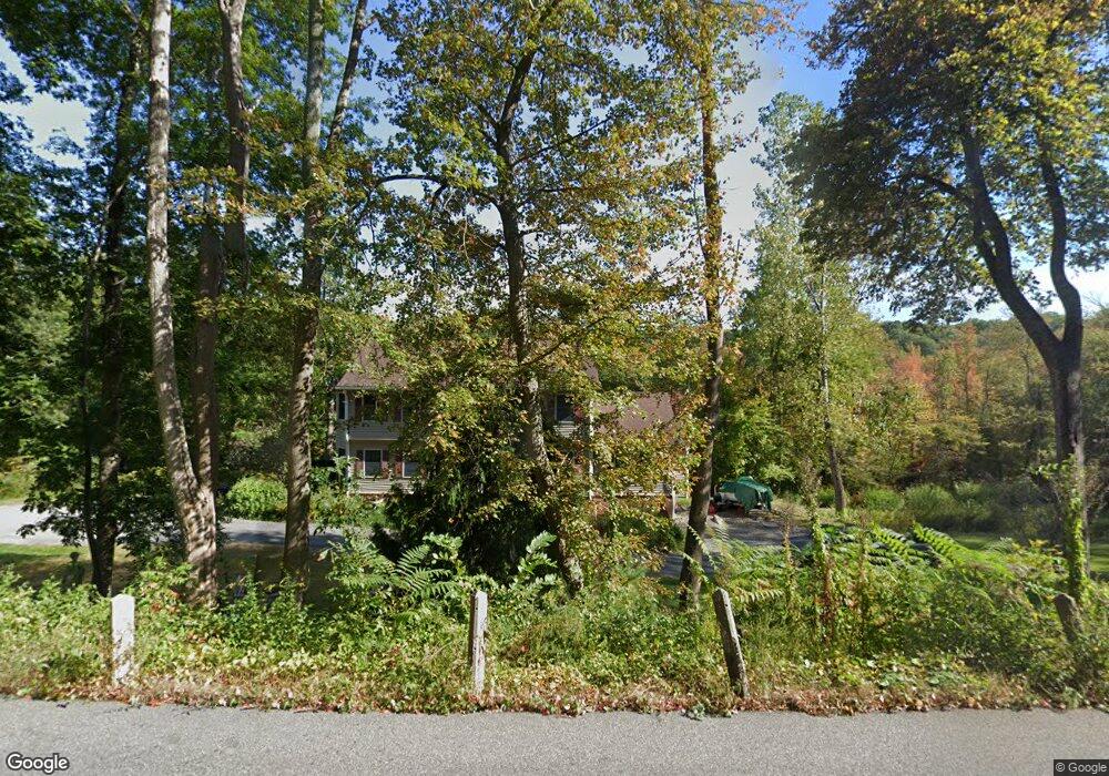
57 W Sutton Rd Sutton, MA 01590
Estimated Value: $451,000 - $524,085
3
Beds
2
Baths
1,034
Sq Ft
$476/Sq Ft
Est. Value
About This Home
This home is located at 57 W Sutton Rd, Sutton, MA 01590 and is currently estimated at $492,271, approximately $476 per square foot. 57 W Sutton Rd is a home located in Worcester County with nearby schools including Sutton Elementary School, Sutton Middle School, and Sutton High School.
Create a Home Valuation Report for This Property
The Home Valuation Report is an in-depth analysis detailing your home's value as well as a comparison with similar homes in the area
Home Values in the Area
Average Home Value in this Area
Tax History
| Year | Tax Paid | Tax Assessment Tax Assessment Total Assessment is a certain percentage of the fair market value that is determined by local assessors to be the total taxable value of land and additions on the property. | Land | Improvement |
|---|---|---|---|---|
| 2025 | $5,324 | $442,900 | $166,400 | $276,500 |
| 2024 | $5,568 | $439,100 | $158,900 | $280,200 |
| 2023 | $5,367 | $387,500 | $143,800 | $243,700 |
| 2022 | $4,935 | $325,100 | $109,600 | $215,500 |
| 2021 | $4,608 | $288,000 | $109,600 | $178,400 |
| 2020 | $4,450 | $280,600 | $109,600 | $171,000 |
| 2019 | $4,264 | $258,100 | $105,800 | $152,300 |
| 2018 | $4,118 | $248,800 | $105,800 | $143,000 |
| 2017 | $3,960 | $240,000 | $93,200 | $146,800 |
| 2016 | $3,910 | $234,400 | $93,200 | $141,200 |
Source: Public Records
Map
Nearby Homes
- 5 Putnam Hill Rd
- 37 Sutton Rd
- 354 W Sutton Rd
- 11 Laurel Dr
- 303 W Main St
- 0 W Main St
- 196 Horne Way Unit 196
- 100 Horne Way
- 152 W Main St Unit A
- 168 Burbank Rd
- 99 Burbank Rd
- 99 Burbank Road Lot 182
- 1 Burbank Rd
- 186 8 Lots Rd
- 128 Worcester Providence Turnpike
- 124 Worcester Providence Turnpike
- 0 Auburn Rd
- 5 Mogren Dr
- 38 W Main St
- 4 Jessica j Dr
Your Personal Tour Guide
Ask me questions while you tour the home.