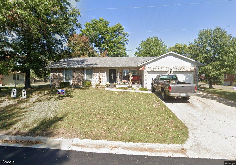
57 Walnut Way Warrensburg, MO 64093
Estimated Value: $209,000 - $297,000
3
Beds
2
Baths
1,642
Sq Ft
$160/Sq Ft
Est. Value
About This Home
This home is located at 57 Walnut Way, Warrensburg, MO 64093 and is currently estimated at $262,464, approximately $159 per square foot. 57 Walnut Way is a home located in Johnson County with nearby schools including Maple Grove Elementary School, Martin Warren Elementary School, and Warrensburg Middle School.
Ownership History
Date
Name
Owned For
Owner Type
Purchase Details
Closed on
Apr 4, 2011
Sold by
Alfred Kory J
Bought by
Stach Martin D and Stach Patricia M
Current Estimated Value
Home Financials for this Owner
Home Financials are based on the most recent Mortgage that was taken out on this home.
Original Mortgage
$98,000
Outstanding Balance
$67,935
Interest Rate
4.98%
Mortgage Type
New Conventional
Estimated Equity
$194,529
Purchase Details
Closed on
Nov 6, 2006
Sold by
Dunham Thomas Scott and Dunham Carolyn E
Bought by
Alfred Kory J
Home Financials for this Owner
Home Financials are based on the most recent Mortgage that was taken out on this home.
Original Mortgage
$118,800
Interest Rate
6.28%
Mortgage Type
New Conventional
Purchase Details
Closed on
Dec 17, 2005
Sold by
Brockman Shirley A Coonrod
Bought by
Dunham Thomas Scott and Dunham Carolyn E
Create a Home Valuation Report for This Property
The Home Valuation Report is an in-depth analysis detailing your home's value as well as a comparison with similar homes in the area
Home Values in the Area
Average Home Value in this Area
Purchase History
| Date | Buyer | Sale Price | Title Company |
|---|---|---|---|
| Stach Martin D | -- | None Available | |
| Alfred Kory J | -- | -- | |
| Dunham Thomas Scott | -- | -- |
Source: Public Records
Mortgage History
| Date | Status | Borrower | Loan Amount |
|---|---|---|---|
| Open | Stach Martin D | $98,000 | |
| Previous Owner | Alfred Kory J | $118,800 |
Source: Public Records
Tax History
| Year | Tax Paid | Tax Assessment Tax Assessment Total Assessment is a certain percentage of the fair market value that is determined by local assessors to be the total taxable value of land and additions on the property. | Land | Improvement |
|---|---|---|---|---|
| 2024 | $1,779 | $23,297 | $0 | $0 |
| 2023 | $1,779 | $23,297 | $0 | $0 |
| 2022 | $1,722 | $22,449 | $0 | $0 |
| 2021 | $1,716 | $22,449 | $0 | $0 |
| 2020 | $1,669 | $21,598 | $0 | $0 |
| 2019 | $1,668 | $21,598 | $0 | $0 |
| 2017 | $1,664 | $21,598 | $0 | $0 |
| 2016 | $1,406 | $19,808 | $0 | $0 |
| 2015 | $1,444 | $19,808 | $0 | $0 |
| 2014 | $1,253 | $19,808 | $0 | $0 |
Source: Public Records
Map
Nearby Homes
- 22 Locust Ln
- 12 Woodland Trail
- 812 S Main St
- 708 Burlington Rd
- 629 Oakmont Dr
- 704 Mahogany Ct
- 604 Darrow St
- 705 Mahogany Ct
- 707 Mahogany Ct
- 733 Burlington Rd
- 606 Fountain Hills Dr
- 602 Park Place
- 315 Goodrich Dr
- 103 SW 95th Rd
- 521 W Clark St
- 317 Jones Ave
- 101 Hidden Pines Ln
- 109 Deerfield Dr
- 114 Deerfield Dr
- 318 S Main St
- 56 High Dr
- 66 Walnut Way
- 72 Walnut Way
- 22 High Dr
- 55 Hawthorne Hill Dr
- 23 High Dr
- 73 Walnut Way
- 100 Hawthorne Hill Dr
- 69 Walnut Way
- 65 Walnut Way
- 24 High Dr
- 99 Hawthorne Hill Dr
- 71 High Dr
- Lot 008 Hawthorne Blvd
- Lot 009 Hawthorne Blvd
- 54 Hawthorne Hill Dr
- 18 Locust Ln
- 68 Walnut Way
- 75 Walnut Way
- 58 Hawthorne Hill Dr
Your Personal Tour Guide
Ask me questions while you tour the home.