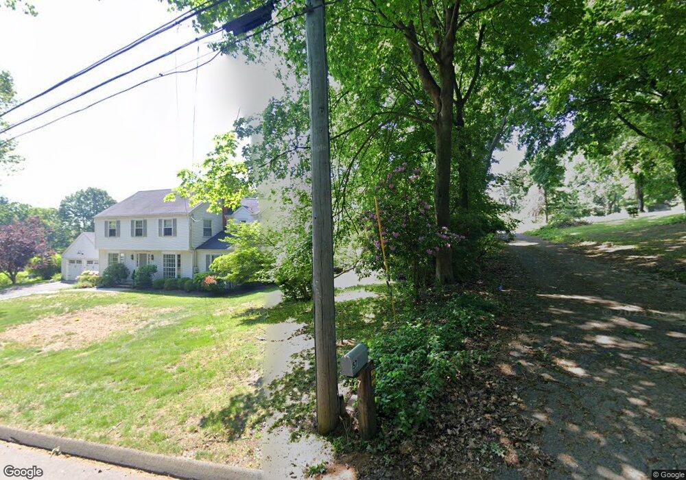
57 Warner Hill Rd Southport, CT 06890
Estimated Value: $1,098,000 - $2,799,000
6
Beds
7
Baths
6,928
Sq Ft
$232/Sq Ft
Est. Value
About This Home
This home is located at 57 Warner Hill Rd, Southport, CT 06890 and is currently estimated at $1,604,863, approximately $231 per square foot. 57 Warner Hill Rd is a home located in Fairfield County with nearby schools including Mill Hill School, Roger Ludlowe Middle School, and Fairfield Ludlowe High School.
Ownership History
Date
Name
Owned For
Owner Type
Purchase Details
Closed on
Jul 6, 2021
Sold by
Chevy Chase Funding Llc
Bought by
Tudruj Roman and Ugrin Peter
Current Estimated Value
Purchase Details
Closed on
Mar 6, 2019
Sold by
Ugrin Lesley and Us Bank Na
Bought by
Us Bank Na Tr
Purchase Details
Closed on
Aug 16, 1978
Bought by
Ugrin Lesley and Ugrin Maria
Create a Home Valuation Report for This Property
The Home Valuation Report is an in-depth analysis detailing your home's value as well as a comparison with similar homes in the area
Home Values in the Area
Average Home Value in this Area
Purchase History
| Date | Buyer | Sale Price | Title Company |
|---|---|---|---|
| Tudruj Roman | $600,000 | None Available | |
| Tudruj Roman | $600,000 | None Available | |
| Us Bank Na Tr | -- | -- | |
| Us Bank Na Tr | -- | -- | |
| Ugrin Lesley | -- | -- |
Source: Public Records
Mortgage History
| Date | Status | Borrower | Loan Amount |
|---|---|---|---|
| Previous Owner | Ugrin Lesley | $350,000 | |
| Previous Owner | Ugrin Lesley | $1,787,500 |
Source: Public Records
Tax History Compared to Growth
Tax History
| Year | Tax Paid | Tax Assessment Tax Assessment Total Assessment is a certain percentage of the fair market value that is determined by local assessors to be the total taxable value of land and additions on the property. | Land | Improvement |
|---|---|---|---|---|
| 2025 | $11,924 | $420,000 | $387,380 | $32,620 |
| 2024 | $11,718 | $420,000 | $387,380 | $32,620 |
| 2023 | $11,554 | $420,000 | $387,380 | $32,620 |
| 2022 | $35,015 | $1,285,410 | $600,950 | $684,460 |
| 2021 | $34,680 | $1,285,410 | $600,950 | $684,460 |
| 2020 | $33,774 | $1,260,700 | $595,350 | $665,350 |
| 2019 | $33,774 | $1,260,700 | $595,350 | $665,350 |
| 2018 | $33,232 | $1,260,700 | $595,350 | $665,350 |
| 2017 | $32,551 | $1,260,700 | $595,350 | $665,350 |
| 2016 | $32,085 | $1,260,700 | $595,350 | $665,350 |
| 2015 | $32,403 | $1,307,110 | $625,170 | $681,940 |
| 2014 | $31,893 | $1,307,110 | $625,170 | $681,940 |
Source: Public Records
Map
Nearby Homes
- 232 Pell Meadow Dr
- 1135 Mill Hill Rd
- 254 Sherwood Farm Rd
- 476 Mill Hill Terrace
- 360 Duck Farm Rd
- 647 Bronson Rd
- 105 Charter Oak Rd
- 56 Drake Ln
- 844 Mill Hill Terrace
- 44 Deer Run Rd
- 53 Hilltop Dr
- 33 Middlebrook Place
- 2683 Bronson Rd
- 688 Hulls Farm Rd
- 179 Verna Hill Rd
- 25 Millspaugh Dr
- 28 Mill Hill Rd Unit 28
- 153 Pease Ave
- 338 Orchard Hill Ln
- 1213 Cedar Rd
- 1329 Bronson Rd
- 105 Warner Hill Rd
- 365 Fulling Mill Ln
- 291 Warner Hill Rd
- 1327 Bronson Rd
- 1327 Bronson Rd Unit 1
- 1375 Bronson Rd
- 73 Warner Hill Rd
- 395 Fulling Mill Ln S
- 380 Fulling Mill Ln S
- 116 Warner Hill Rd
- 15 Warner Hill Rd
- 375 Warner Hill Rd
- 421 Fulling Mill Ln N
- 359 Fulling Mill Ln S
- 1285 Bronson Rd
- 30 Warner Hill Rd
- 323 Warner Hill Rd
- 1371 Bronson Rd
- 1400 Bronson Rd