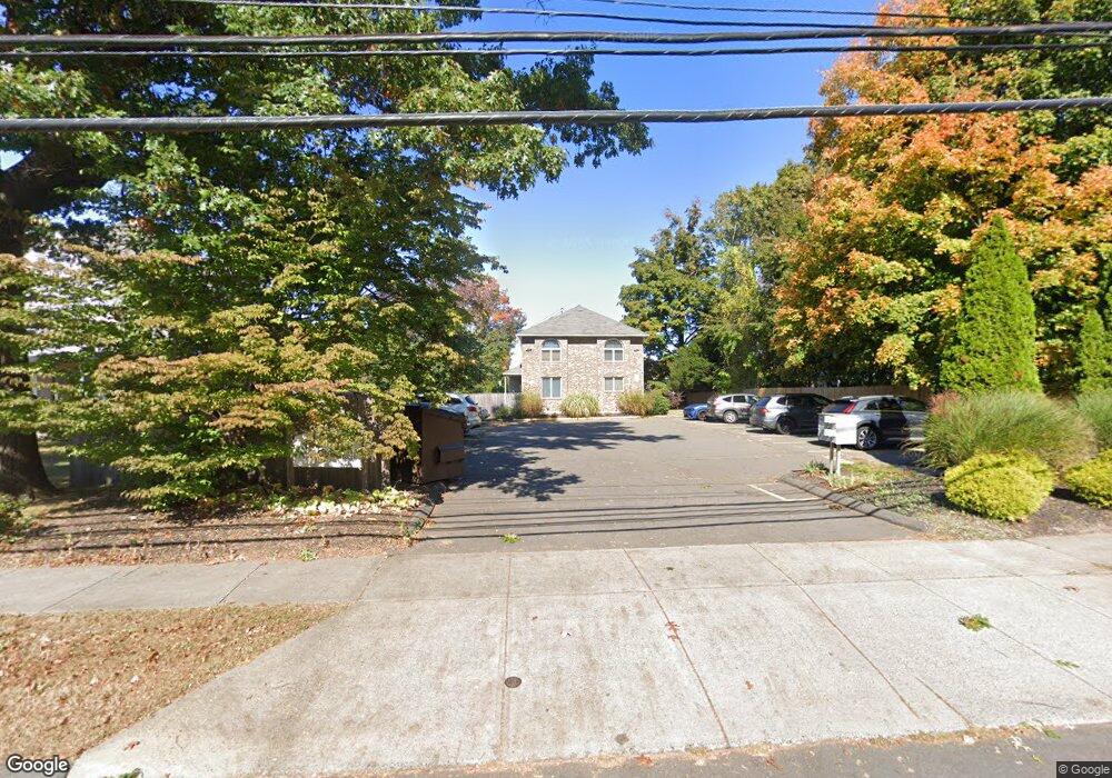
57 Washington St Unit 7 Bristol, CT 06010
Forestville NeighborhoodEstimated Value: $206,849 - $226,000
2
Beds
2
Baths
1,064
Sq Ft
$203/Sq Ft
Est. Value
About This Home
This home is located at 57 Washington St Unit 7, Bristol, CT 06010 and is currently estimated at $215,962, approximately $202 per square foot. 57 Washington St Unit 7 is a home located in Hartford County with nearby schools including Ellen P. Hubbell School, Northeast Middle School, and Bristol Eastern High School.
Ownership History
Date
Name
Owned For
Owner Type
Purchase Details
Closed on
Sep 1, 2006
Sold by
Roy Michael P and Roy Nancy A
Bought by
Hubeny Susan A
Current Estimated Value
Home Financials for this Owner
Home Financials are based on the most recent Mortgage that was taken out on this home.
Original Mortgage
$131,900
Interest Rate
6.83%
Purchase Details
Closed on
Sep 23, 2002
Sold by
Caruso Dawn M
Bought by
Roy Michael P and Battistini Nancy A
Purchase Details
Closed on
Dec 26, 2001
Sold by
Bukala-Tynik Danuta
Bought by
Caruso Dawn M
Purchase Details
Closed on
Feb 11, 1991
Sold by
Przondo Prop Inc
Bought by
Dupre Charles R and Dupre Michele H
Create a Home Valuation Report for This Property
The Home Valuation Report is an in-depth analysis detailing your home's value as well as a comparison with similar homes in the area
Home Values in the Area
Average Home Value in this Area
Purchase History
| Date | Buyer | Sale Price | Title Company |
|---|---|---|---|
| Hubeny Susan A | $133,000 | -- | |
| Roy Michael P | $97,000 | -- | |
| Caruso Dawn M | $82,000 | -- | |
| Dupre Charles R | $88,000 | -- |
Source: Public Records
Mortgage History
| Date | Status | Borrower | Loan Amount |
|---|---|---|---|
| Open | Dupre Charles R | $131,900 | |
| Closed | Dupre Charles R | $131,900 | |
| Closed | Dupre Charles R | $8,000 |
Source: Public Records
Tax History Compared to Growth
Tax History
| Year | Tax Paid | Tax Assessment Tax Assessment Total Assessment is a certain percentage of the fair market value that is determined by local assessors to be the total taxable value of land and additions on the property. | Land | Improvement |
|---|---|---|---|---|
| 2025 | $2,634 | $78,050 | $0 | $78,050 |
| 2024 | $2,486 | $78,050 | $0 | $78,050 |
| 2023 | $2,369 | $78,050 | $0 | $78,050 |
| 2022 | $2,679 | $69,860 | $0 | $69,860 |
| 2021 | $2,679 | $69,860 | $0 | $69,860 |
| 2020 | $2,679 | $69,860 | $0 | $69,860 |
| 2019 | $2,658 | $69,860 | $0 | $69,860 |
| 2018 | $2,576 | $69,860 | $0 | $69,860 |
| 2017 | $2,724 | $75,600 | $0 | $75,600 |
| 2016 | $2,724 | $75,600 | $0 | $75,600 |
| 2015 | $2,617 | $75,600 | $0 | $75,600 |
| 2014 | $2,617 | $75,600 | $0 | $75,600 |
Source: Public Records
Map
Nearby Homes
- 54 W Washington St
- 46 Pleasant Ave
- 16 Mechanic St
- 73 Grove Ave
- 41 E New St
- 196 Frederick St
- 96 Kenney St
- 35 Buckley Ave
- 16 Knox Place
- 336 Washington St
- 269 W Washington St
- 115 Garfield Rd
- 482 Broad St Unit 3
- 482 Broad St Unit TRLR 14
- 476 Broad St
- 3 Topview Terrace
- 418 Washington St
- 334 W Washington St
- 302 Brook St
- 158 E Main St
- 57 Washington St Unit 6
- 57 Washington St Unit 5
- 57 Washington St Unit 4
- 57 Washington St Unit 3
- 57 Washington St Unit 2
- 57 Washington St Unit 1
- 49 Washington St Unit 9
- 49 Washington St Unit 8
- 49 Washington St Unit 7
- 49 Washington St Unit 10
- 49 Washington St Unit 1
- 49 Washington St Unit 2
- 49 Washington St Unit 5
- 49 Washington St Unit 3
- 49 Washington St
- 49 Washington St Unit 6
- 9 Stafford Ave
- 39 Washington St Unit 302
- 39 Washington St Unit 303
- 39 Washington St Unit 201