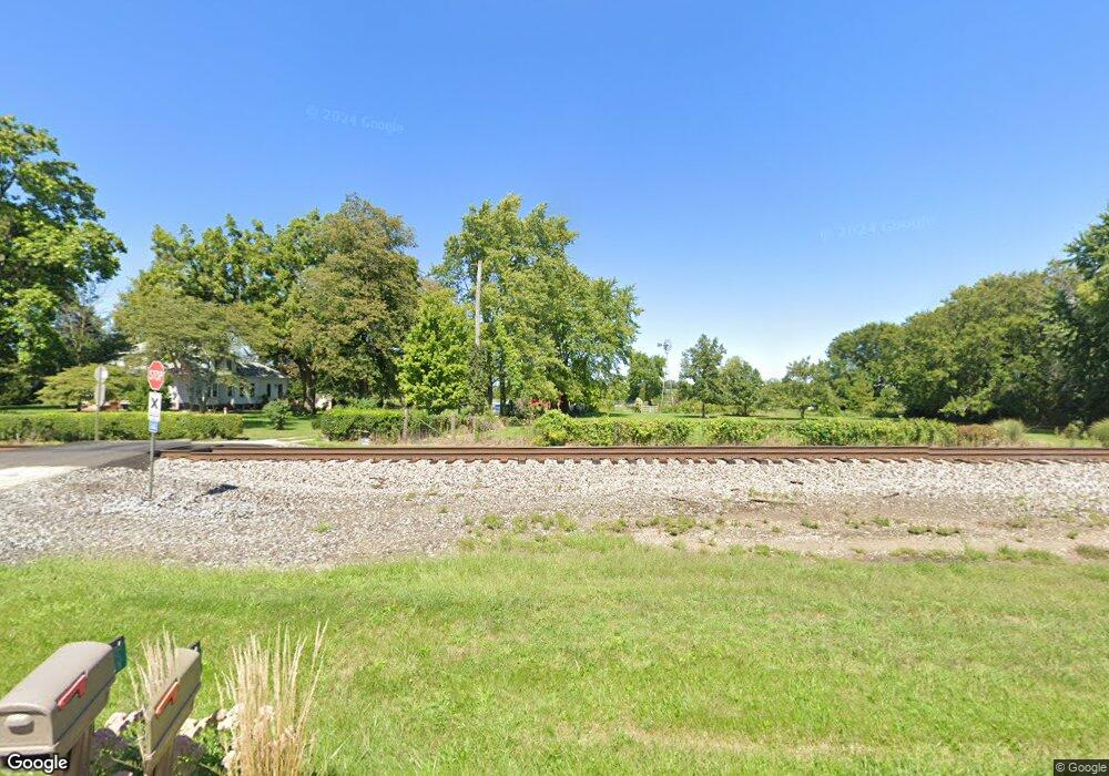
570 County Road 550 N Sadorus, IL 61872
Estimated Value: $202,000 - $375,000
--
Bed
--
Bath
1,153
Sq Ft
$262/Sq Ft
Est. Value
About This Home
This home is located at 570 County Road 550 N, Sadorus, IL 61872 and is currently estimated at $302,274, approximately $262 per square foot. 570 County Road 550 N is a home with nearby schools including Unity High School.
Ownership History
Date
Name
Owned For
Owner Type
Purchase Details
Closed on
Nov 6, 2024
Sold by
Thompson James E and Thompson Peggy S
Bought by
Thompson James E
Current Estimated Value
Purchase Details
Closed on
Jun 10, 2008
Sold by
Voyles Delmar E and Voyles Patricia A
Bought by
Thompson Ii James E and Thompson Peggy S
Home Financials for this Owner
Home Financials are based on the most recent Mortgage that was taken out on this home.
Original Mortgage
$128,000
Interest Rate
6.09%
Mortgage Type
Purchase Money Mortgage
Create a Home Valuation Report for This Property
The Home Valuation Report is an in-depth analysis detailing your home's value as well as a comparison with similar homes in the area
Home Values in the Area
Average Home Value in this Area
Purchase History
| Date | Buyer | Sale Price | Title Company |
|---|---|---|---|
| Thompson James E | -- | None Listed On Document | |
| Thompson James E | -- | None Listed On Document | |
| Thompson Ii James E | $226,500 | None Available |
Source: Public Records
Mortgage History
| Date | Status | Borrower | Loan Amount |
|---|---|---|---|
| Previous Owner | Thompson Ii James E | $128,000 |
Source: Public Records
Tax History Compared to Growth
Tax History
| Year | Tax Paid | Tax Assessment Tax Assessment Total Assessment is a certain percentage of the fair market value that is determined by local assessors to be the total taxable value of land and additions on the property. | Land | Improvement |
|---|---|---|---|---|
| 2024 | $3,965 | $76,790 | $19,900 | $56,890 |
| 2023 | $3,965 | $71,900 | $18,630 | $53,270 |
| 2022 | $3,736 | $67,320 | $17,440 | $49,880 |
| 2021 | $3,133 | $64,110 | $16,610 | $47,500 |
| 2020 | $3,093 | $62,060 | $16,080 | $45,980 |
| 2019 | $3,287 | $60,250 | $15,610 | $44,640 |
| 2018 | $3,218 | $52,750 | $15,330 | $37,420 |
| 2017 | $3,182 | $50,430 | $14,660 | $35,770 |
| 2016 | $3,112 | $48,540 | $14,110 | $34,430 |
| 2015 | $3,027 | $46,760 | $13,590 | $33,170 |
| 2014 | $2,982 | $46,070 | $13,390 | $32,680 |
| 2013 | $3,007 | $45,620 | $13,260 | $32,360 |
Source: Public Records
Map
Nearby Homes
- 112 W North Front St
- 108 W Church St
- 347 County Road 300 N
- 203 S Whitehead St
- 407 W Walnut St
- 466 County Road 100 N
- 309 N Watson St
- 1102 County Road 600 N
- 310 N Bourne St
- 6 Harness Ln
- 505 N Calhoun St
- 106 N Elizabeth St
- 614 E Larmon St
- 206 5th St
- 110 5th St
- 492 County Road 0 N
- 23 County Road 300 N
- 1190 N 1400 Rd E
- 101 County Road 100 N
- 108 Shiloh Dr
- 505 W River Rd
- 503 W River Rd
- 565 County Road 550 N
- 207 S Market St
- 108 S Market St
- 307 W Market St
- 200 S Market St
- 202 W Market St
- 310 W Church St
- 304 W 2nd St
- 307 W 2nd St
- 302 W 2nd St
- 306 W Church St
- 101 S West St
- 313 W Church St
- 303 W 2nd St
- 309 W Church St
- 300 W 2nd St
- 203 N West St
- 307 W Church St
