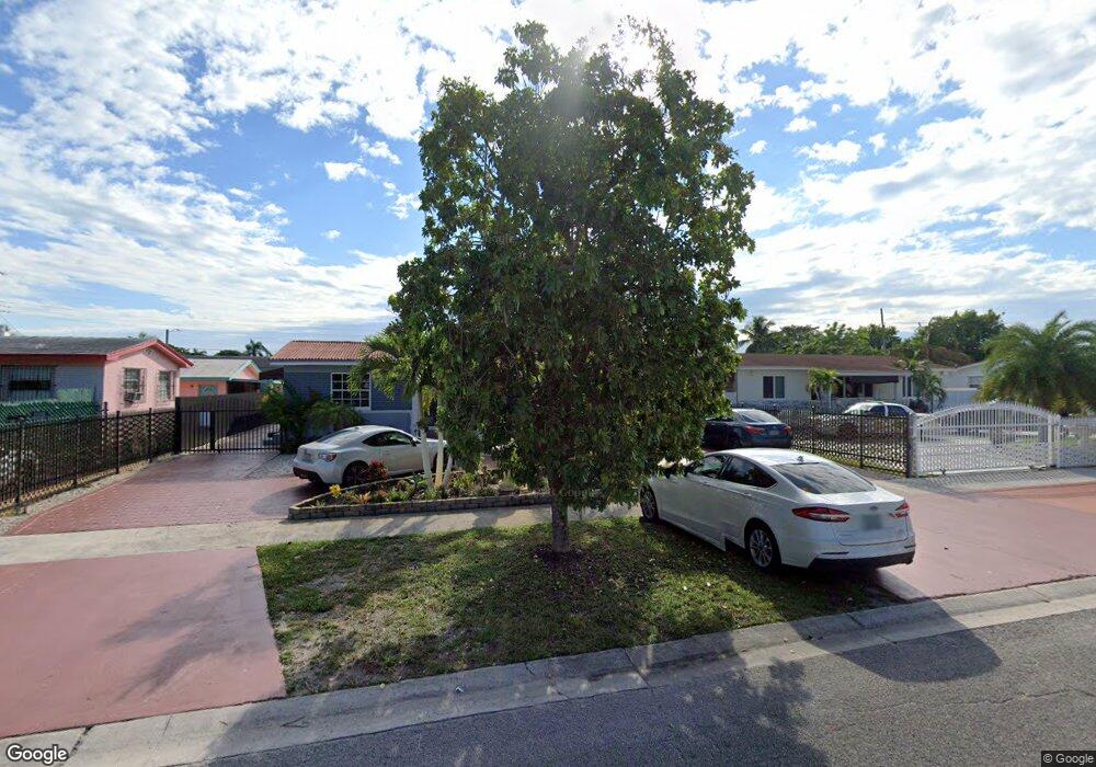
570 Douglas Rd Opa Locka, FL 33054
Estimated Value: $438,000 - $527,000
3
Beds
2
Baths
2,158
Sq Ft
$223/Sq Ft
Est. Value
About This Home
This home is located at 570 Douglas Rd, Opa Locka, FL 33054 and is currently estimated at $481,218, approximately $222 per square foot. 570 Douglas Rd is a home located in Miami-Dade County with nearby schools including North Dade Middle School, Hialeah-Miami Lakes Senior High School, and Robert Morgan Educational Center.
Ownership History
Date
Name
Owned For
Owner Type
Purchase Details
Closed on
Jun 20, 2001
Sold by
William T Cockrell M and William Evelyn M
Bought by
Aguiar Pablo A and Aguiar Glenda P
Current Estimated Value
Purchase Details
Closed on
Dec 10, 1993
Sold by
Smith Caroly
Bought by
Cockrell William T and Cockrell Evelyn M
Home Financials for this Owner
Home Financials are based on the most recent Mortgage that was taken out on this home.
Original Mortgage
$56,350
Interest Rate
7.14%
Mortgage Type
FHA
Create a Home Valuation Report for This Property
The Home Valuation Report is an in-depth analysis detailing your home's value as well as a comparison with similar homes in the area
Home Values in the Area
Average Home Value in this Area
Purchase History
| Date | Buyer | Sale Price | Title Company |
|---|---|---|---|
| Aguiar Pablo A | $105,000 | -- | |
| Cockrell William T | $60,400 | -- |
Source: Public Records
Mortgage History
| Date | Status | Borrower | Loan Amount |
|---|---|---|---|
| Previous Owner | Cockrell William T | $56,350 |
Source: Public Records
Tax History
| Year | Tax Paid | Tax Assessment Tax Assessment Total Assessment is a certain percentage of the fair market value that is determined by local assessors to be the total taxable value of land and additions on the property. | Land | Improvement |
|---|---|---|---|---|
| 2025 | $1,693 | $83,200 | -- | -- |
| 2024 | $1,497 | $80,856 | -- | -- |
| 2023 | $1,497 | $78,501 | $0 | $0 |
| 2022 | $1,400 | $76,215 | $0 | $0 |
| 2021 | $1,369 | $73,996 | $0 | $0 |
| 2020 | $1,298 | $72,975 | $0 | $0 |
| 2019 | $1,288 | $71,335 | $0 | $0 |
| 2018 | $1,239 | $70,005 | $0 | $0 |
| 2017 | $1,161 | $60,053 | $0 | $0 |
| 2016 | $1,322 | $58,818 | $0 | $0 |
| 2015 | $1,269 | $58,410 | $0 | $0 |
| 2014 | $1,236 | $57,947 | $0 | $0 |
Source: Public Records
Map
Nearby Homes
- 535 Harem Ave
- 560 N Perviz Ave
- 540 Harem Ave
- 719 Harem Ave
- 613 Sharrar Ave
- 805 Sultan Ave
- 941 Jann Ave
- 120 Seaman Ave
- 1040 Curtiss Dr
- 945 Sharazad Blvd
- 1060 Oriental Blvd
- 205 Seaman Ave
- 15300 NW 32nd Ave
- 3241 NW 154th Terrace
- 3011 NW 152nd Terrace
- 525 Curtis Dr
- 2941 NW 151st Terrace
- 1210 Kasim St
- 1231 Dunad Ave
- 15330 NW 29th Ct
Your Personal Tour Guide
Ask me questions while you tour the home.