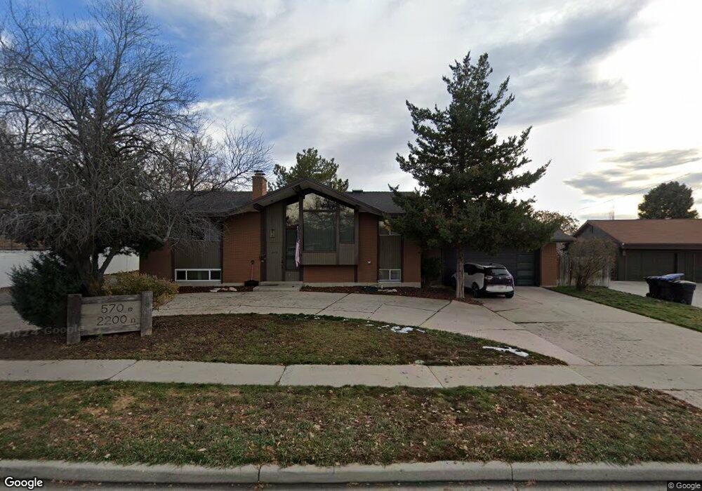
570 E 2200 N Provo, UT 84604
Rock Canyon NeighborhoodEstimated Value: $876,000 - $1,202,000
6
Beds
4
Baths
5,476
Sq Ft
$184/Sq Ft
Est. Value
About This Home
This home is located at 570 E 2200 N, Provo, UT 84604 and is currently estimated at $1,010,200, approximately $184 per square foot. 570 E 2200 N is a home located in Utah County with nearby schools including Rock Canyon Elementary School, Centennial Middle School, and Timpview High School.
Ownership History
Date
Name
Owned For
Owner Type
Purchase Details
Closed on
Apr 13, 2017
Sold by
Moulton Bradford
Bought by
Higbee Jay H and Higbee Vachelle
Current Estimated Value
Home Financials for this Owner
Home Financials are based on the most recent Mortgage that was taken out on this home.
Original Mortgage
$386,650
Outstanding Balance
$320,778
Interest Rate
4.1%
Mortgage Type
New Conventional
Estimated Equity
$689,422
Purchase Details
Closed on
Nov 7, 2016
Sold by
Gardner Betty
Bought by
Moulton Bradford
Create a Home Valuation Report for This Property
The Home Valuation Report is an in-depth analysis detailing your home's value as well as a comparison with similar homes in the area
Home Values in the Area
Average Home Value in this Area
Purchase History
| Date | Buyer | Sale Price | Title Company |
|---|---|---|---|
| Higbee Jay H | -- | Provo Land Title Co | |
| Howell Taeya | -- | Provo Land Title Co | |
| Moulton Bradford | -- | Provo Land Title Co | |
| Howell Taeya | -- | Provo Land Title Co | |
| Moulton Bradford | -- | None Available |
Source: Public Records
Mortgage History
| Date | Status | Borrower | Loan Amount |
|---|---|---|---|
| Open | Howell Taeya | $386,650 |
Source: Public Records
Tax History Compared to Growth
Tax History
| Year | Tax Paid | Tax Assessment Tax Assessment Total Assessment is a certain percentage of the fair market value that is determined by local assessors to be the total taxable value of land and additions on the property. | Land | Improvement |
|---|---|---|---|---|
| 2025 | $4,283 | $494,010 | $279,500 | $618,700 |
| 2024 | $3,963 | $421,575 | $0 | $0 |
| 2023 | $3,963 | $384,615 | $0 | $0 |
| 2022 | $3,758 | $367,675 | $0 | $0 |
| 2021 | $3,061 | $522,400 | $218,300 | $304,100 |
| 2020 | $2,955 | $472,700 | $174,600 | $298,100 |
| 2019 | $2,841 | $472,700 | $174,600 | $298,100 |
| 2018 | $2,571 | $433,800 | $174,600 | $259,200 |
| 2017 | $2,432 | $252,230 | $0 | $0 |
| 2016 | $2,677 | $231,330 | $0 | $0 |
| 2015 | $2,598 | $226,930 | $0 | $0 |
| 2014 | $2,394 | $217,965 | $0 | $0 |
Source: Public Records
Map
Nearby Homes
- 664 E 2320 N
- 2295 N 470 E
- 2254 N 390 E
- 2244 N Canyon Rd Unit 305
- 2244 N Canyon Rd Unit 207
- 186 E 2100 N
- 182 E 2090 N
- 895 E 2620 N
- 360 Sumac Ln
- 1963 N Canyon Rd Unit 105
- 2774 N 370 E
- 1636 N 320 E Unit 5
- 1660 N 320 E Unit 3
- 1648 N 320 E Unit 4
- 1625 N 320 E Unit 1
- 1624 N 320 E Unit 6
- 1615 N 320 E Unit 1
- 1612 N 320 E Unit RES
- 96 Marrcrest S
- 2040 Oakcrest Terrace