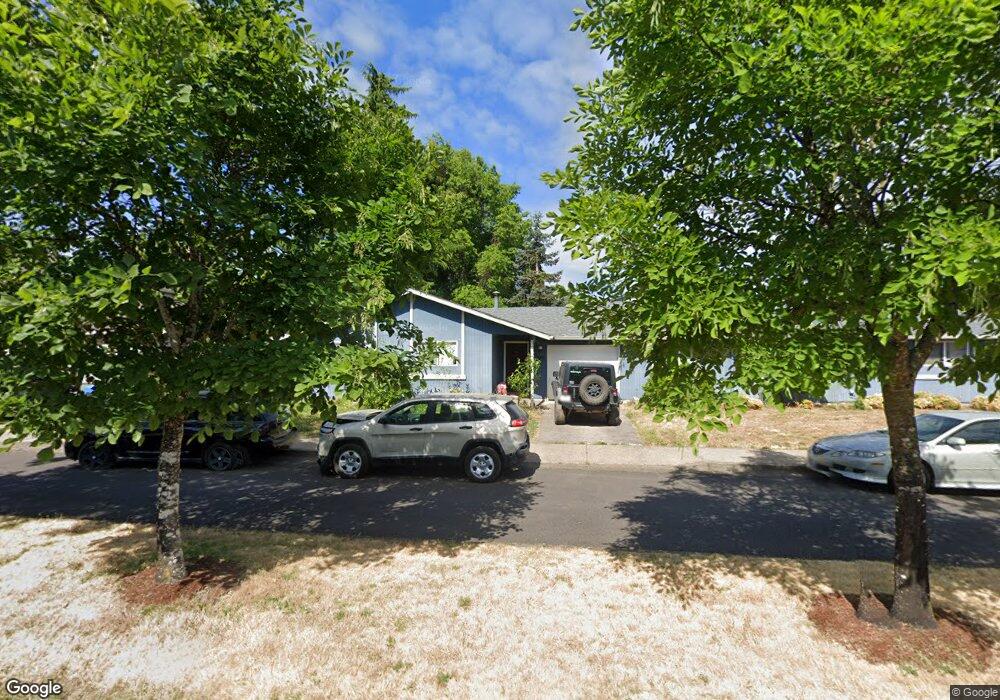
570 Lindley Ln Eugene, OR 97401
Harlow NeighborhoodEstimated Value: $447,078 - $605,000
4
Beds
2
Baths
1,652
Sq Ft
$319/Sq Ft
Est. Value
About This Home
This home is located at 570 Lindley Ln, Eugene, OR 97401 and is currently estimated at $526,770, approximately $318 per square foot. 570 Lindley Ln is a home located in Lane County with nearby schools including Holt Elementary School, Monroe Middle School, and Sheldon High School.
Ownership History
Date
Name
Owned For
Owner Type
Purchase Details
Closed on
Apr 5, 2016
Sold by
Kiefer John P and Kiefer Corinne R
Bought by
Jkc Homes Llc
Current Estimated Value
Purchase Details
Closed on
Mar 8, 2013
Sold by
Jkc Homes Llc
Bought by
Keifer Ii John P and Kiefer Corinne R
Purchase Details
Closed on
Feb 17, 2009
Sold by
Kiefer John P and Kiefer Corinne R
Bought by
Jkc Homes Llc
Purchase Details
Closed on
Jul 14, 2008
Sold by
Wilson Bryan E
Bought by
Kiefer John P and Kiefer Corinne R
Create a Home Valuation Report for This Property
The Home Valuation Report is an in-depth analysis detailing your home's value as well as a comparison with similar homes in the area
Home Values in the Area
Average Home Value in this Area
Purchase History
| Date | Buyer | Sale Price | Title Company |
|---|---|---|---|
| Jkc Homes Llc | -- | None Available | |
| Keifer Ii John P | -- | Cascade Title Company | |
| Jkc Homes Llc | -- | None Available | |
| Kiefer John P | $250,000 | Cascade Title Co |
Source: Public Records
Tax History
| Year | Tax Paid | Tax Assessment Tax Assessment Total Assessment is a certain percentage of the fair market value that is determined by local assessors to be the total taxable value of land and additions on the property. | Land | Improvement |
|---|---|---|---|---|
| 2025 | $4,580 | $235,089 | -- | -- |
| 2024 | $4,523 | $228,242 | -- | -- |
| 2023 | $4,523 | $221,595 | $0 | $0 |
| 2022 | $4,238 | $215,141 | $0 | $0 |
| 2021 | $3,980 | $208,875 | $0 | $0 |
| 2020 | $3,980 | $202,792 | $0 | $0 |
| 2019 | $3,812 | $196,886 | $0 | $0 |
| 2018 | $3,434 | $185,584 | $0 | $0 |
| 2017 | $3,275 | $185,584 | $0 | $0 |
| 2016 | $3,092 | $180,179 | $0 | $0 |
| 2015 | $3,077 | $174,931 | $0 | $0 |
| 2014 | $3,058 | $169,836 | $0 | $0 |
Source: Public Records
Map
Nearby Homes
- 835 Anderson Ln
- 3360 Chevy Chase St
- 1130 Anderson Ln
- 1505 Canal St
- 1074 Hamilton St
- 2646 Cascara Dr
- 2642 Cascara Dr
- 3579 Oxbow Way
- 2709 E 16th Ave
- 2770 E 16th Ave
- 1650 Augusta Aly
- 1652 Augusta Aly
- 1702 Augusta St
- 0 Sylvan St Unit 247715494
- 446 Kodiak St
- 804 W N St
- 930 Prescott Ln
- 1867 Fircrest Dr
- 275 Sunset Dr
- 552 W D St
Your Personal Tour Guide
Ask me questions while you tour the home.