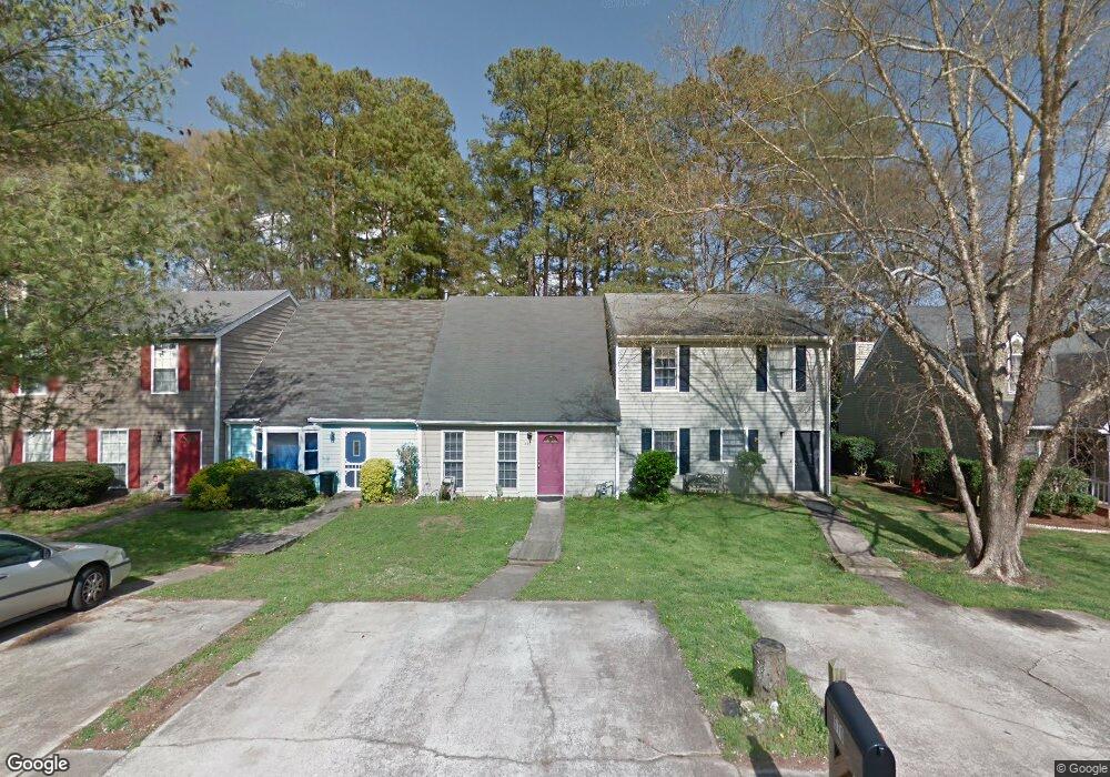
570 Manning Rd SW Marietta, GA 30064
Southwestern Marietta NeighborhoodEstimated Value: $234,385 - $282,000
2
Beds
2
Baths
1,221
Sq Ft
$210/Sq Ft
Est. Value
About This Home
This home is located at 570 Manning Rd SW, Marietta, GA 30064 and is currently estimated at $256,346, approximately $209 per square foot. 570 Manning Rd SW is a home located in Cobb County with nearby schools including A.L. Burruss Elementary School, Marietta Sixth Grade Academy, and Marietta Middle School.
Ownership History
Date
Name
Owned For
Owner Type
Purchase Details
Closed on
May 30, 2023
Sold by
Vargas Carolina
Bought by
Carrillo Milton Carlos Varga
Current Estimated Value
Purchase Details
Closed on
Nov 26, 2008
Sold by
Flores Gabriel A and Flores Cecilia B
Bought by
Vargas Carolina
Home Financials for this Owner
Home Financials are based on the most recent Mortgage that was taken out on this home.
Original Mortgage
$76,000
Interest Rate
6.38%
Mortgage Type
New Conventional
Purchase Details
Closed on
Oct 11, 1996
Sold by
Gole James L Jane L
Bought by
Flores Gabriel A Cecilia
Create a Home Valuation Report for This Property
The Home Valuation Report is an in-depth analysis detailing your home's value as well as a comparison with similar homes in the area
Home Values in the Area
Average Home Value in this Area
Purchase History
| Date | Buyer | Sale Price | Title Company |
|---|---|---|---|
| Carrillo Milton Carlos Varga | -- | None Listed On Document | |
| Vargas Carolina | $80,000 | -- | |
| Flores Gabriel A Cecilia | $49,900 | -- |
Source: Public Records
Mortgage History
| Date | Status | Borrower | Loan Amount |
|---|---|---|---|
| Previous Owner | Vargas Carolina | $76,000 | |
| Closed | Flores Gabriel A Cecilia | $0 |
Source: Public Records
Tax History Compared to Growth
Tax History
| Year | Tax Paid | Tax Assessment Tax Assessment Total Assessment is a certain percentage of the fair market value that is determined by local assessors to be the total taxable value of land and additions on the property. | Land | Improvement |
|---|---|---|---|---|
| 2025 | $252 | $93,476 | $34,000 | $59,476 |
| 2024 | $252 | $93,476 | $34,000 | $59,476 |
| 2023 | $100 | $93,476 | $34,000 | $59,476 |
| 2022 | $252 | $76,684 | $18,000 | $58,684 |
| 2021 | $259 | $50,424 | $18,000 | $32,424 |
| 2020 | $259 | $50,424 | $18,000 | $32,424 |
| 2019 | $258 | $45,728 | $16,000 | $29,728 |
| 2018 | $258 | $45,728 | $16,000 | $29,728 |
| 2017 | $141 | $30,216 | $8,000 | $22,216 |
| 2016 | $101 | $24,284 | $4,000 | $20,284 |
| 2015 | $111 | $24,284 | $4,000 | $20,284 |
| 2014 | $44 | $15,188 | $0 | $0 |
Source: Public Records
Map
Nearby Homes
- 560 Manning Rd SW
- 818 Manning Way SW Unit 1
- 805 Manning Way SW
- 594 Manning Rd SW
- 332 Rockmann Ln SW
- 1161 Rockmann Terrace SW
- 839 Manning Villas Ct SW
- 260 Manning Rd SW Unit 110
- 1141 Whitlock Ave NW
- 834 Cannon Run SW
- 838 Cannon Run SW
- 1121 Cannongate Crossing SW
- 873 Cavalry Dr SW
- 798 Sentinel Ridge SW
- 1211 Cliffpine Ct SW
- 1017 Cannongate Crossing SW
- 1011 Cannongate Crossing SW
- 570 Manning Rd SW
- 572 Manning Rd SW
- 568 Manning Rd SW
- 574 Manning Rd SW
- 566 Manning Rd SW
- 576 Manning Rd SW
- 576 Manning Rd SW
- 564 Manning Rd SW Unit 564
- 564 Manning Rd SW Unit 1/2
- 564 Manning Rd SW
- 578 Manning Rd SW
- 578 Manning Rd SW
- 562 Manning Rd SW
- 562 Manning Rd SW Unit 562
- 580 Manning Rd SW
- 582 Manning Rd SW
- 161 Kimberly Way SW
- 157 Kimberly Way SW Unit 159
- 560 Manning Rd SW Unit 560
- 165 Kimberly Way SW Unit 167