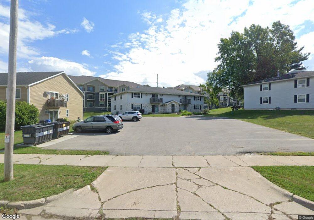
570 S Perry Pkwy Oregon, WI 53575
Estimated Value: $1,028,436
8
Beds
4
Baths
3,000
Sq Ft
$343/Sq Ft
Est. Value
About This Home
This home is located at 570 S Perry Pkwy, Oregon, WI 53575 and is currently estimated at $1,028,436, approximately $342 per square foot. 570 S Perry Pkwy is a home located in Dane County with nearby schools including Oregon Middle School, Rome Corners Intermediate School, and Oregon High School.
Ownership History
Date
Name
Owned For
Owner Type
Purchase Details
Closed on
Jan 20, 2023
Sold by
Thiel Jerome and Thiel Bonnie
Bought by
Jerome J Thiel And Bonnie A Thiel Revocable L
Current Estimated Value
Purchase Details
Closed on
Apr 17, 2020
Sold by
Nak Development Llc
Bought by
Thiel Jerome and Thiel Bonnie
Home Financials for this Owner
Home Financials are based on the most recent Mortgage that was taken out on this home.
Original Mortgage
$560,000
Interest Rate
3.3%
Mortgage Type
New Conventional
Purchase Details
Closed on
Feb 26, 2009
Sold by
Bluebird Management Llc
Bought by
Nak Development Llc
Home Financials for this Owner
Home Financials are based on the most recent Mortgage that was taken out on this home.
Original Mortgage
$249,000
Interest Rate
4.91%
Mortgage Type
Commercial
Create a Home Valuation Report for This Property
The Home Valuation Report is an in-depth analysis detailing your home's value as well as a comparison with similar homes in the area
Home Values in the Area
Average Home Value in this Area
Purchase History
| Date | Buyer | Sale Price | Title Company |
|---|---|---|---|
| Jerome J Thiel And Bonnie A Thiel Revocable L | -- | None Listed On Document | |
| Thiel Jerome | $700,000 | Knight Barry Title | |
| Nak Development Llc | $512,500 | None Available |
Source: Public Records
Mortgage History
| Date | Status | Borrower | Loan Amount |
|---|---|---|---|
| Previous Owner | Thiel Jerome | $560,000 | |
| Previous Owner | Nak Development Llc | $249,000 |
Source: Public Records
Tax History Compared to Growth
Tax History
| Year | Tax Paid | Tax Assessment Tax Assessment Total Assessment is a certain percentage of the fair market value that is determined by local assessors to be the total taxable value of land and additions on the property. | Land | Improvement |
|---|---|---|---|---|
| 2024 | $11,950 | $700,000 | $109,200 | $590,800 |
| 2023 | $11,595 | $700,000 | $109,200 | $590,800 |
| 2021 | $12,613 | $700,000 | $109,200 | $590,800 |
| 2020 | $7,210 | $389,800 | $109,200 | $280,600 |
| 2019 | $7,223 | $389,800 | $109,200 | $280,600 |
| 2018 | $7,340 | $389,800 | $109,200 | $280,600 |
| 2017 | $7,490 | $389,800 | $109,200 | $280,600 |
| 2016 | $7,071 | $357,700 | $109,200 | $248,500 |
| 2015 | $7,139 | $357,700 | $109,200 | $248,500 |
| 2014 | $10,684 | $534,300 | $109,200 | $425,100 |
| 2013 | $10,778 | $534,300 | $109,200 | $425,100 |
Source: Public Records
Map
Nearby Homes
- 126 Thomson Ln
- 182 Ames St
- 402 Concord Dr
- 507 Janesville St
- 192 State St
- 859 Pleasant Oak Dr
- 275 Park St
- 562 Lexington Dr Unit 20
- 581 Concord Dr
- LOT 97 Foxfield Ct
- LOT 103 Foxfield Ct
- 1038 Autumn Blaze Ct
- 485 Foxfield Rd
- 498 Foxfield Rd
- The Birchwood Plan at Autumn Ridge
- The Mulberry Plan at Autumn Ridge
- The Lily Plan at Autumn Ridge
- The Lavender Plan at Autumn Ridge
- The Azalea Plan at Autumn Ridge
- The Holly Plan at Autumn Ridge
- 861 Janesville St
- 881-889 Janesville St
- 839 Janesville St
- 889 Janesville St
- 917 Janesville St
- 852 Janesville St
- 854 Janesville St
- 769 Janesville St
- 856 Janesville St
- 471 Waterman Ct
- 473 Waterman Ct
- 475 Waterman Ct
- 477 Waterman Ct
- 733 Janesville St
- 947 Janesville St
- 751 Janesville St
- 478 Waterman Ct
- 717 Janesville St
- 472 Waterman Ct
- 468 Waterman Ct