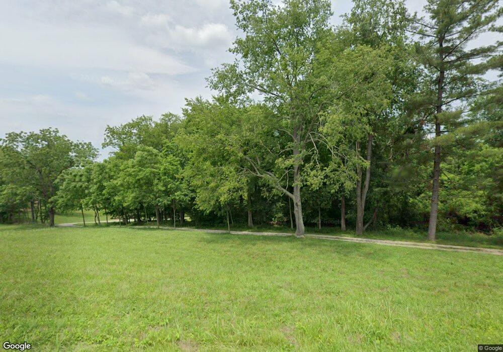
570 State Route 555 Little Hocking, OH 45742
Estimated Value: $205,000 - $284,000
2
Beds
1
Bath
1,221
Sq Ft
$205/Sq Ft
Est. Value
About This Home
This home is located at 570 State Route 555, Little Hocking, OH 45742 and is currently estimated at $250,421, approximately $205 per square foot. 570 State Route 555 is a home with nearby schools including Warren High School.
Ownership History
Date
Name
Owned For
Owner Type
Purchase Details
Closed on
Dec 23, 2014
Sold by
Snyder Sarah L
Bought by
Pinkerton Joseph D and Pinkerton Dina P
Current Estimated Value
Home Financials for this Owner
Home Financials are based on the most recent Mortgage that was taken out on this home.
Original Mortgage
$100,000
Outstanding Balance
$76,797
Interest Rate
3.99%
Mortgage Type
New Conventional
Estimated Equity
$173,624
Purchase Details
Closed on
Jul 2, 2003
Bought by
Snyder Sarah L
Purchase Details
Closed on
Sep 5, 1996
Bought by
Boyce Kellis Cleon and Boyce Ole
Purchase Details
Closed on
Nov 4, 1991
Bought by
Cornett Ray and M I
Create a Home Valuation Report for This Property
The Home Valuation Report is an in-depth analysis detailing your home's value as well as a comparison with similar homes in the area
Home Values in the Area
Average Home Value in this Area
Purchase History
| Date | Buyer | Sale Price | Title Company |
|---|---|---|---|
| Pinkerton Joseph D | $170,000 | Attorney | |
| Snyder Sarah L | $22,000 | -- | |
| Boyce Kellis Cleon | $19,000 | -- | |
| Cornett Ray | $18,000 | -- |
Source: Public Records
Mortgage History
| Date | Status | Borrower | Loan Amount |
|---|---|---|---|
| Open | Pinkerton Joseph D | $100,000 |
Source: Public Records
Tax History Compared to Growth
Tax History
| Year | Tax Paid | Tax Assessment Tax Assessment Total Assessment is a certain percentage of the fair market value that is determined by local assessors to be the total taxable value of land and additions on the property. | Land | Improvement |
|---|---|---|---|---|
| 2024 | $2,220 | $56,460 | $13,740 | $42,720 |
| 2023 | $2,220 | $56,460 | $13,740 | $42,720 |
| 2022 | $2,210 | $56,460 | $13,740 | $42,720 |
| 2021 | $1,987 | $48,100 | $13,470 | $34,630 |
| 2020 | $1,860 | $48,100 | $13,470 | $34,630 |
| 2019 | $1,834 | $48,100 | $13,470 | $34,630 |
| 2018 | $1,644 | $41,890 | $11,220 | $30,670 |
| 2017 | $1,635 | $41,890 | $11,220 | $30,670 |
| 2016 | $1,423 | $41,890 | $11,220 | $30,670 |
| 2015 | $1,105 | $31,740 | $9,950 | $21,790 |
| 2014 | $1,531 | $30,700 | $9,950 | $20,750 |
| 2013 | $550 | $30,700 | $9,950 | $20,750 |
Source: Public Records
Map
Nearby Homes
- 0 T1309
- 00 Orchard Dr
- 4278 Newbury Rd
- 000 Newbury Rd
- 0 Newberry Rd Unit 4279424
- 0 Houston Rd
- 0 Houston Rd
- 1175 Collins Rd
- 29500 Houston Rd
- 128 Haynes Rd
- 1421 Hocking Rd
- 2853 Lake Washington Rd
- 5595 N Torch Rd
- 631 Short Brook Rd
- 1396 State Route 339
- 464 Cave Hill Rd
- 1462 State Route 339
- 0 N Torch Rd
- 0 Murphy Rd Unit 2431698
- 109 Cherry Blossom Ln
- 121 Cherry Blossom Ln
- 85 Cherry Blossom Ln
- 65 Cherry Blossom Ln
- 668 State Route 555
- 568 State Route 555
- 573 State Route 555
- 147 Cherry Blossom Ln
- 615 State Route 555
- 165 Cherry Blossom Ln
- 550 State Route 555
- 155 Cherry Blossom Ln
- 85 Baker Rd
- 173 Cherry Blossom Ln
- 625 State Route 555
- 529 State Route 555
- 635 State Route 555
- 78 Cherry Blossom Ln
- 259 Cherry Blossom Ln
- 258 Cherry Blossom Ln
